@Heritage Places, Castles & Architecture
18-Jul-2026 12 am
18-Jul-2026 12 am
This article uses text information from the Wikipedia article – Hambach_Castle – [Wikipedia-Article-Link: https://en.wikipedia.org/wiki/Hambach_Castle ] which is released under the -- Creative Commons Attribution-ShareAlike 4.0 License – [License-Link: https://creativecommons.org/licenses/by-sa/4.0/deed.en ( https://en.wikipedia.org/wiki/Wikipedia:Text_of_the_Creative_Commons_Attribution-ShareAlike_4.0_International_License )] and additional terms may apply. [List of Principal Authors (5 or less) of the Wikipedia-Article on the date of this Article being Created in this Website: - Wiki-SZ, Morningstar1814, Hugh16, 91.3.70.1, Lmao222] [Use the following Authorship tool to find out the author contributions:- https://xtools.wmcloud.org/authorship ] [The Current Article on this Website has been paraphrased from the above linked corresponding Wikipedia-Article and You may redistribute this, verbatim or modified, provided that you comply with the terms of the Creative Commons Attribution-ShareAlike 4.0 License] [License-Link: https://creativecommons.org/licenses/by-sa/4.0/deed.en ( https://en.wikipedia.org/wiki/Wikipedia:Text_of_the_Creative_Commons_Attribution-ShareAlike_4.0_International_License )]
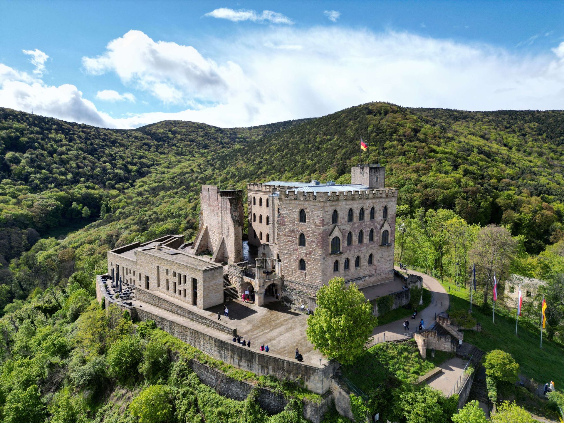
[Image: Explore the historic Hambach Castle set against a lush, scenic landscape in Germany; Image-Author: Reinhard Bruckner] [Image-Source-Link: https://www.pexels.com/photo/hambacher-schloss-27664462/ ] [License-Link: https://www.pexels.com/license/ ] [Please Also Relate to Original Individual Text and Image URLs for More Usage Property and Sharing, Remixing or Attributing the Contents] [Contents on Wikipedia is covered by – Disclaimer – [Wikipedia-Disclaimer-Link: https://en.wikipedia.org/wiki/Wikipedia:General_disclaimer ]] [Contents in this Website is also covered by Disclaimer linked at the bottom of the Page] [This website article means no intellectual appropriation by any way and only wishes to contribute in sharing of knowledge]
@Heritage Places, Castles & Architecture
16-Jul-2026 06 pm
16-Jul-2026 06 pm
This article uses text information from the Wikipedia article – Rötteln_Castle – [Wikipedia-Article-Link: https://en.wikipedia.org/wiki/R%C3%B6tteln_Castle ] which is released under the -- Creative Commons Attribution-ShareAlike 4.0 License – [License-Link: https://creativecommons.org/licenses/by-sa/4.0/deed.en ( https://en.wikipedia.org/wiki/Wikipedia:Text_of_the_Creative_Commons_Attribution-ShareAlike_4.0_International_License )] and additional terms may apply. [List of Principal Authors (5 or less) of the Wikipedia-Article on the date of this Article being Created in this Website: - Zieglhar, TeIemachos, Amwyll Rwden, PopularOutcast, Codrinb] [Use the following Authorship tool to find out the author contributions:- https://xtools.wmcloud.org/authorship ] [The Current Article on this Website has been paraphrased from the above linked corresponding Wikipedia-Article and You may redistribute this, verbatim or modified, provided that you comply with the terms of the Creative Commons Attribution-ShareAlike 4.0 License] [License-Link: https://creativecommons.org/licenses/by-sa/4.0/deed.en ( https://en.wikipedia.org/wiki/Wikipedia:Text_of_the_Creative_Commons_Attribution-ShareAlike_4.0_International_License )]
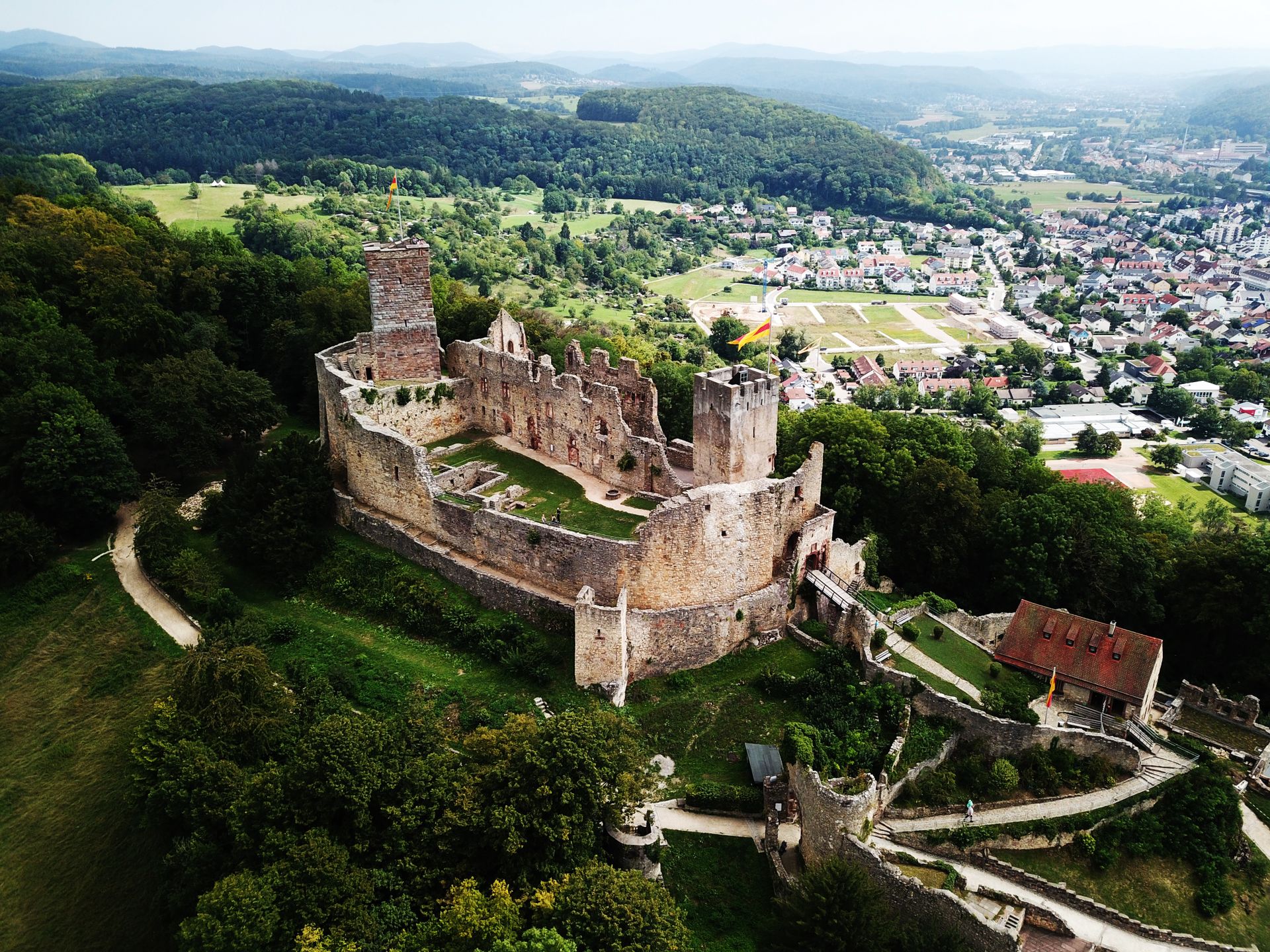
[Image: Explore the stunning aerial view of Lörrach Castle ruins with scenic green landscapes; Image-Author: Peter Huber] [Image-Source-Link: https://www.pexels.com/photo/aerial-view-of-castle-surrounded-by-green-trees-11384863/ ] [License-Link: https://www.pexels.com/license/ ] [Please Also Relate to Original Individual Text and Image URLs for More Usage Property and Sharing, Remixing or Attributing the Contents] [Contents on Wikipedia is covered by – Disclaimer – [Wikipedia-Disclaimer-Link: https://en.wikipedia.org/wiki/Wikipedia:General_disclaimer ]] [Contents in this Website is also covered by Disclaimer linked at the bottom of the Page] [This website article means no intellectual appropriation by any way and only wishes to contribute in sharing of knowledge]
@Historical Events
15-Jul-2026 09 pm
15-Jul-2026 09 pm
This article uses text information from the Wikipedia article – Hinduism_in_Afghanistan – [Wikipedia-Article-Link: https://en.wikipedia.org/wiki/Hinduism_in_Afghanistan ] which is released under the -- Creative Commons Attribution-ShareAlike 4.0 License – [License-Link: https://creativecommons.org/licenses/by-sa/4.0/deed.en ( https://en.wikipedia.org/wiki/Wikipedia:Text_of_the_Creative_Commons_Attribution-ShareAlike_4.0_International_License )] and additional terms may apply. [List of Principal Authors (5 or less) of the Wikipedia-Article on the date of this Article being Created in this Website: - Van00220, Nasir Ghobar, CosmLearner, 122.182.209.44, HindusforNepal] [Use the following Authorship tool to find out the author contributions:- https://xtools.wmcloud.org/authorship ] [The Current Article on this Website has been paraphrased from the above linked corresponding Wikipedia-Article and You may redistribute this, verbatim or modified, provided that you comply with the terms of the Creative Commons Attribution-ShareAlike 4.0 License] [License-Link: https://creativecommons.org/licenses/by-sa/4.0/deed.en ( https://en.wikipedia.org/wiki/Wikipedia:Text_of_the_Creative_Commons_Attribution-ShareAlike_4.0_International_License )]
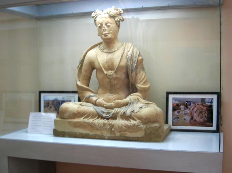
This article also uses an image from the Wikipedia article -- Hinduism_in_Afghanistan -- [Wikipedia-Article-Link: https://en.wikipedia.org/wiki/Hinduism_in_Afghanistan ] [Image: Hindu king statue in Kabul Museum, Afghanistan; Wikipedia-Image-Author: Carl Montgomery ] [Wikipedia-Image-Link: https://en.wikipedia.org/wiki/File:Kabul_Museum_statue_2.jpg ] [Image Availed Under Creative Commons Attribution 3.0 Unported license;] [License-Link: https://creativecommons.org/licenses/by/3.0/deed.en ] [You may copy, distribute and transmit the work (image) or remix the work (image) and attribute the work (image) with proper license link, complying with the terms of the Creative Commons Attribution 3.0 Unported license in distribution] [License-Link: https://creativecommons.org/licenses/by/3.0/deed.en ] [Please Also Relate to Original Individual Text and Image URLs for More Usage Property and Sharing, Remixing or Attributing the Contents] [Contents on Wikipedia is covered by -- Disclaimer – Wikipedia-Disclaimer-Link: https://en.wikipedia.org/wiki/Wikipedia:General_disclaimer ] [Contents in this Website is also covered by Disclaimer linked at the bottom of the Page] [This website article means no intellectual appropriation by any way and only wishes to contribute in sharing of knowledge]
@Heritage Places, Castles & Architecture
15-Jul-2026 05 pm
15-Jul-2026 05 pm
This article uses text information from the Wikipedia article – Bouzov_Castle – [Wikipedia-Article-Link: https://en.wikipedia.org/wiki/Bouzov_Castle ] which is released under the -- Creative Commons Attribution-ShareAlike 4.0 License – [License-Link: https://creativecommons.org/licenses/by-sa/4.0/deed.en ( https://en.wikipedia.org/wiki/Wikipedia:Text_of_the_Creative_Commons_Attribution-ShareAlike_4.0_International_License )] and additional terms may apply. [List of Principal Authors (5 or less) of the Wikipedia-Article on the date of this Article being Created in this Website: - Krenakarore, FromCzech, Jllm06, 178.221.222.142, Ekem] [Use the following Authorship tool to find out the author contributions:- https://xtools.wmcloud.org/authorship ] [The Current Article on this Website has been paraphrased from the above linked corresponding Wikipedia-Article and You may redistribute this, verbatim or modified, provided that you comply with the terms of the Creative Commons Attribution-ShareAlike 4.0 License] [License-Link: https://creativecommons.org/licenses/by-sa/4.0/deed.en ( https://en.wikipedia.org/wiki/Wikipedia:Text_of_the_Creative_Commons_Attribution-ShareAlike_4.0_International_License )]
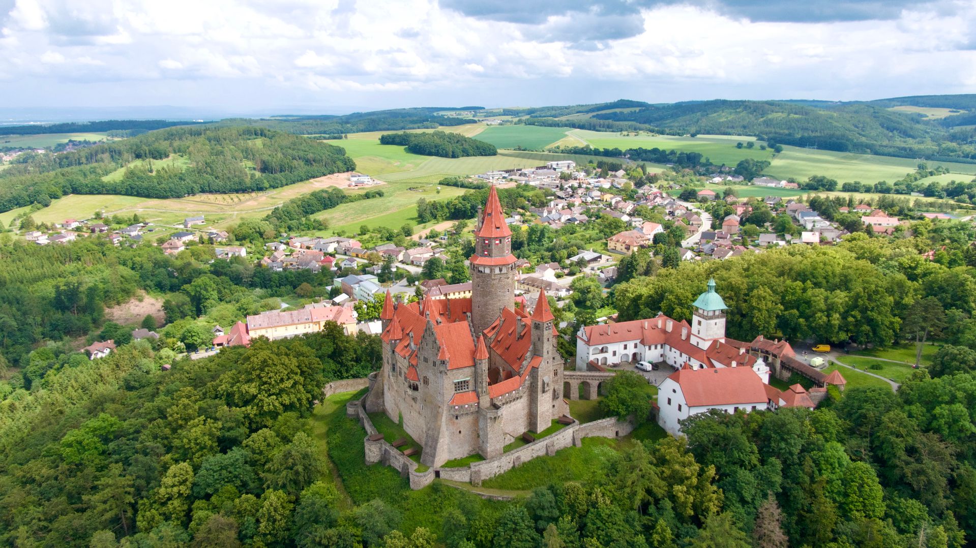
[Image: Explore the picturesque aerial view of historic Bouzov Castle surrounded by lush countryside in the Czech Republic; Image-Author: Erico Felliny] [Image-Source-Link: https://www.pexels.com/photo/aerial-view-of-the-castle-on-a-hill-above-the-village-of-bouzov-in-the-czech-republic-25451594/ ] [License-Link: https://www.pexels.com/license/ ] [Please Also Relate to Original Individual Text and Image URLs for More Usage Property and Sharing, Remixing or Attributing the Contents] [Contents on Wikipedia is covered by – Disclaimer – [Wikipedia-Disclaimer-Link: https://en.wikipedia.org/wiki/Wikipedia:General_disclaimer ]] [Contents in this Website is also covered by Disclaimer linked at the bottom of the Page] [This website article means no intellectual appropriation by any way and only wishes to contribute in sharing of knowledge]
@Heritage Places, Castles & Architecture
14-Jul-2026 01 am
14-Jul-2026 01 am
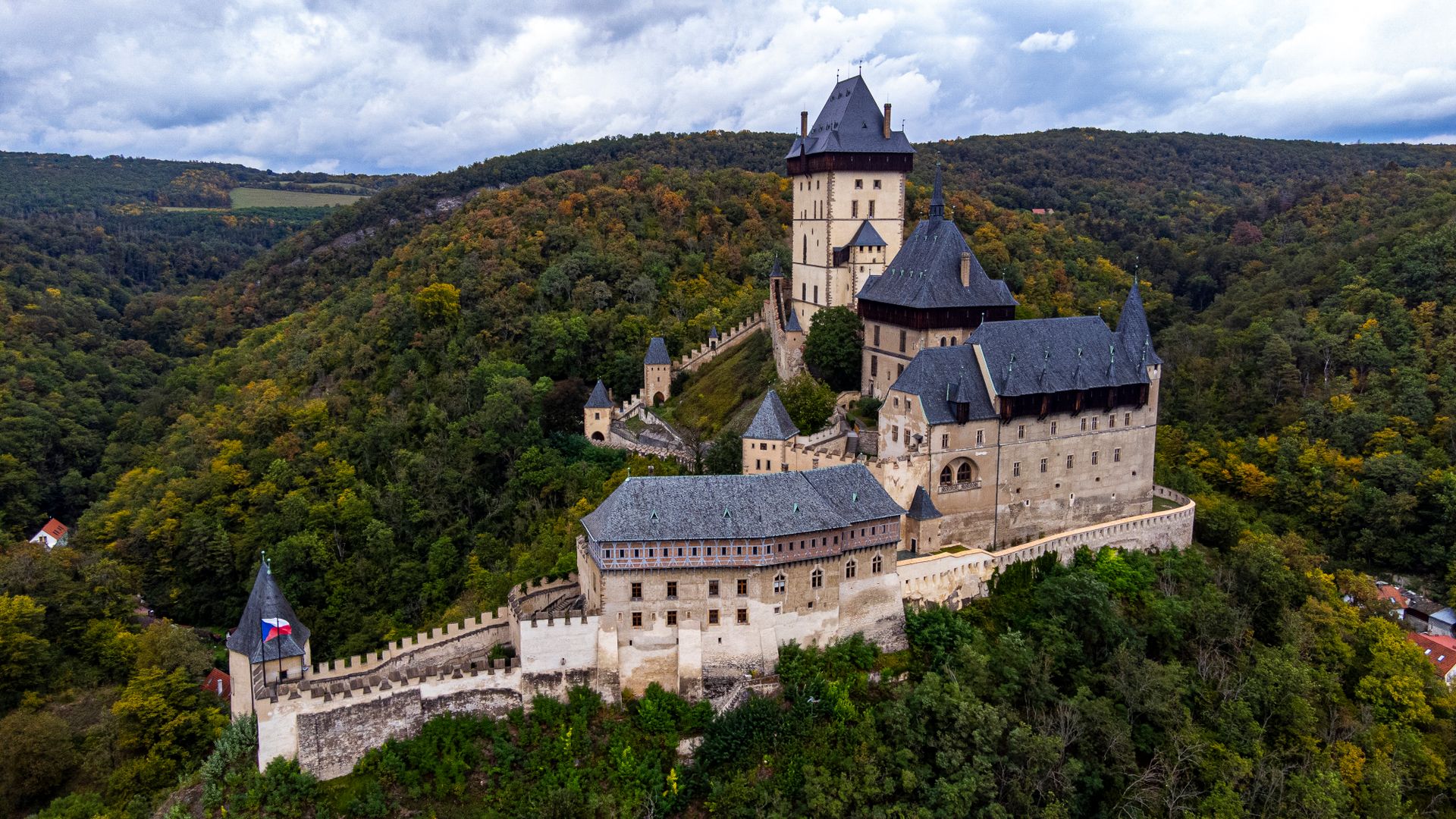
This article uses text information from the Wikipedia article – Karlštejn – [Wikipedia-Article-Link: https://en.wikipedia.org/wiki/Karl%C5%A1tejn ] which is released under the -- Creative Commons Attribution-ShareAlike 4.0 License – [License-Link: https://creativecommons.org/licenses/by-sa/4.0/deed.en ( https://en.wikipedia.org/wiki/Wikipedia:Text_of_the_Creative_Commons_Attribution-ShareAlike_4.0_International_License )] and additional terms may apply. [List of Principal Authors (5 or less) of the Wikipedia-Article on the date of this Article being Created in this Website: - Krenakarore, Matthead, FromCzech, Revirvlkodlaku, Scope creep] [Use the following Authorship tool to find out the author contributions:- https://xtools.wmcloud.org/authorship ] [The Current Article on this Website has been paraphrased from the above linked corresponding Wikipedia-Article and You may redistribute this, verbatim or modified, provided that you comply with the terms of the Creative Commons Attribution-ShareAlike 4.0 License] [License-Link: https://creativecommons.org/licenses/by-sa/4.0/deed.en ( https://en.wikipedia.org/wiki/Wikipedia:Text_of_the_Creative_Commons_Attribution-ShareAlike_4.0_International_License )]
[Image: Stunning aerial photograph of Karlštejn Castle surrounded by lush forests in Czechia; Image-Author: Frank van Dijk] [Image-Source-Link: https://www.pexels.com/photo/aerial-view-of-historic-karlstejn-castle-in-czechia-37918876/ ] [License-Link: https://www.pexels.com/license/ ] [Please Also Relate to Original Individual Text and Image URLs for More Usage Property and Sharing, Remixing or Attributing the Contents] [Contents on Wikipedia is covered by – Disclaimer – [Wikipedia-Disclaimer-Link: https://en.wikipedia.org/wiki/Wikipedia:General_disclaimer ] [Contents in this Website is also covered by Disclaimer linked at the bottom of the Page] [This website article means no intellectual appropriation by any way and only wishes to contribute in sharing of knowledge]
@Historical Events
13-Jul-2026 01 pm
13-Jul-2026 01 pm
This article uses text information from the Wikipedia article – Haakon_Sigurdsson – [Wikipedia-Article-Link: https://en.wikipedia.org/wiki/Haakon_Sigurdsson ] which is released under the -- Creative Commons Attribution-ShareAlike 4.0 License – [License-Link: https://creativecommons.org/licenses/by-sa/4.0/deed.en ( https://en.wikipedia.org/wiki/Wikipedia:Text_of_the_Creative_Commons_Attribution-ShareAlike_4.0_International_License )] and additional terms may apply. [List of Principal Authors (5 or less) of the Wikipedia-Article on the date of this Article being Created in this Website: - Hauganm, Haukurth, Dudley Miles, Fornadan, Voceditenore] [Use the following Authorship tool to find out the author contributions:- https://xtools.wmcloud.org/authorship ] [The Current Article on this Website has been paraphrased from the above linked corresponding Wikipedia-Article and You may redistribute this, verbatim or modified, provided that you comply with the terms of the Creative Commons Attribution-ShareAlike 4.0 License] [License-Link: https://creativecommons.org/licenses/by-sa/4.0/deed.en ( https://en.wikipedia.org/wiki/Wikipedia:Text_of_the_Creative_Commons_Attribution-ShareAlike_4.0_International_License )]
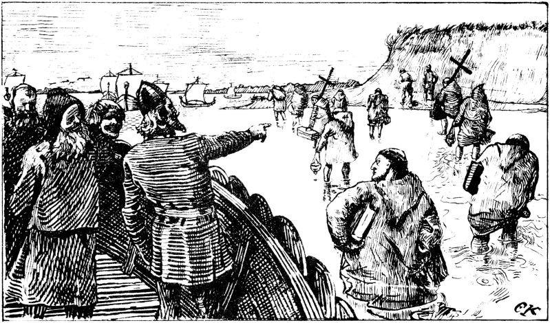
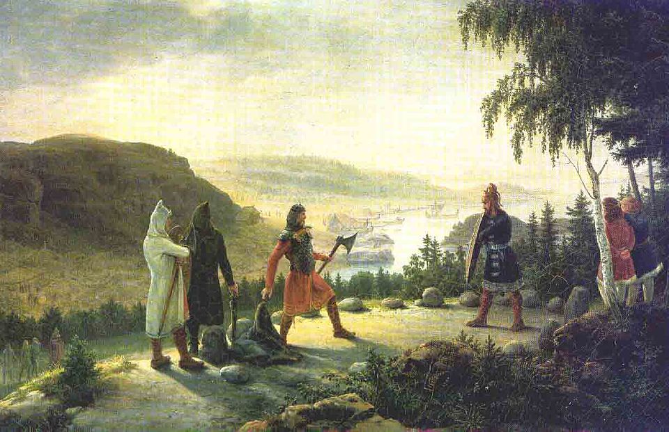
This article also uses an image from the Wikipedia article – Haakon_Sigurdsson – [Wikipedia-Article-Link: https://en.wikipedia.org/wiki/Haakon_Sigurdsson ] [ImageChristian Krogh: Illustration for Olav Tryggvasons saga, Heimskringla 1899-edition (Haakon Jarl commands the clergymen to return ashore); Wikipedia-Image-Author: Christian Krohg (1852–1925) ] [Wikipedia-Image-Link: https://en.wikipedia.org/wiki/File:Olav_Tryggvasons_saga_-_Haakon_jarl_2_-_C._Krohg.jpg ] [This work is in the public domain in its country of origin and other countries and areas where the copyright term is the life of author plus 70 years or fewer. The work is also believed to be in the public domain in the United States as well.] [Please Also Relate to Original Individual Text and Image URLs for More Usage Property and Sharing, Remixing or Attributing the Contents] [Contents on Wikipedia is covered by – Disclaimer – Wikipedia-Disclaimer-Link: https://en.wikipedia.org/wiki/Wikipedia:General_disclaimer ] [Contents in this Website is also covered by Disclaimer linked at the bottom of the Page] [This website article means no intellectual appropriation by any way and only wishes to contribute in sharing of knowledge]
@Historical Events
12-Jul-2026 12 am
12-Jul-2026 12 am
This article uses text information from the Wikipedia article – Helgi_Hundingsbane – [Wikipedia-Article-Link: https://en.wikipedia.org/wiki/Helgi_Hundingsbane ] which is released under the -- Creative Commons Attribution-ShareAlike 4.0 License – [License-Link: https://creativecommons.org/licenses/by-sa/4.0/deed.en ( https://en.wikipedia.org/wiki/Wikipedia:Text_of_the_Creative_Commons_Attribution-ShareAlike_4.0_International_License )] and additional terms may apply. [List of Principal Authors (5 or less) of the Wikipedia-Article on the date of this Article being Created in this Website: - Aethelraed Unraed, Wiglaf, 68.112.187.139, 68.117.24.67, 62.10.41.110] [Use the following Authorship tool to find out the author contributions:- https://xtools.wmcloud.org/authorship ] [The Current Article on this Website has been paraphrased from the above linked corresponding Wikipedia-Article and You may redistribute this, verbatim or modified, provided that you comply with the terms of the Creative Commons Attribution-ShareAlike 4.0 License] [License-Link: https://creativecommons.org/licenses/by-sa/4.0/deed.en ( https://en.wikipedia.org/wiki/Wikipedia:Text_of_the_Creative_Commons_Attribution-ShareAlike_4.0_International_License )]
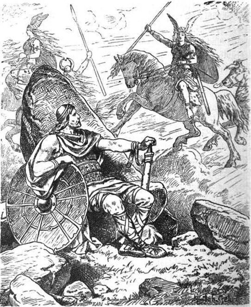
This article also uses an image from the Wikipedia article – Helgi_Hundingsbane – [Wikipedia-Article-Link: https://en.wikipedia.org/wiki/Helgi_Hundingsbane ] [Image: Helgi und Sigrun -- (1901) by Johannes Gehrts (1855–1921). Helgi Hundingsbane looks on while the valkyrie Sigrun raises her spear in the distance.] [Wikipedia-Image-Link: https://en.wikipedia.org/wiki/File:Helgi_und_Sigrun_by_Johannes_Gehrts.jpg ] [This is a faithful photographic reproduction of a two-dimensional, public domain work of art. The author died in 1921, so this work is in the public domain in its country of origin and other countries and areas where the copyright term is the life of author plus 100 years or fewer. This work is in the public domain in the United States because it was published (or registered with the U.S. Copyright Office) before January 1, 1931.] [Please Also Relate to Original Individual Text and Image URLs for More Usage Property and Sharing, Remixing or Attributing the Contents] [Contents on Wikipedia is covered by – Disclaimer – Wikipedia-Disclaimer-Link: https://en.wikipedia.org/wiki/Wikipedia:General_disclaimer ] [Contents in this Website is also covered by Disclaimer linked at the bottom of the Page] [This website article means no intellectual appropriation by any way and only wishes to contribute in sharing of knowledge]
@Heritage Places, Castles & Architecture
11-Jul-2026 03 am
11-Jul-2026 03 am
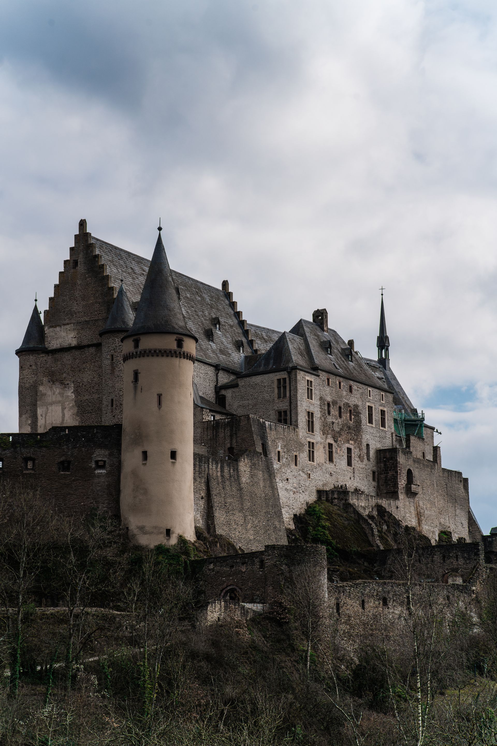
This article uses text information from the Wikipedia article – Vianden_Castle – [Wikipedia-Article-Link: https://en.wikipedia.org/wiki/Vianden_Castle ] which is released under the -- Creative Commons Attribution-ShareAlike 4.0 License – [License-Link: https://creativecommons.org/licenses/by-sa/4.0/deed.en ( https://en.wikipedia.org/wiki/Wikipedia:Text_of_the_Creative_Commons_Attribution-ShareAlike_4.0_International_License )] and additional terms may apply. [List of Principal Authors (5 or less) of the Wikipedia-Article on the date of this Article being Created in this Website: - Ipigott, Ckoerper, Ilovetotravel12345, Andreas Kaganov, Ymblanter] [Use the following Authorship tool to find out the author contributions:- https://xtools.wmcloud.org/authorship ] [The Current Article on this Website has been paraphrased from the above linked corresponding Wikipedia-Article and You may redistribute this, verbatim or modified, provided that you comply with the terms of the Creative Commons Attribution-ShareAlike 4.0 License] [License-Link: https://creativecommons.org/licenses/by-sa/4.0/deed.en ( https://en.wikipedia.org/wiki/Wikipedia:Text_of_the_Creative_Commons_Attribution-ShareAlike_4.0_International_License )]
[Image: Explore the historic Vianden Castle in Luxembourg framed by a cloudy sky. Perfect for travel enthusiasts; Image-Author: KNKO Photography] [Image-Source-Link: https://www.pexels.com/photo/exterior-of-a-castle-18705895/ ] [License-Link: https://www.pexels.com/license/ ] [Please Also Relate to Original Individual Text and Image URLs for More Usage Property and Sharing, Remixing or Attributing the Contents] [Contents on Wikipedia is covered by – Disclaimer – [Wikipedia-Disclaimer-Link: https://en.wikipedia.org/wiki/Wikipedia:General_disclaimer ] [Contents in this Website is also covered by Disclaimer linked at the bottom of the Page] [This website article means no intellectual appropriation by any way and only wishes to contribute in sharing of knowledge]
@Historical Events
09-Jul-2026 11 am
09-Jul-2026 11 am
This article uses text information from the Wikipedia article – Aramazd – [Wikipedia-Article-Link: https://en.wikipedia.org/wiki/Aramazd ] which is released under the -- Creative Commons Attribution-ShareAlike 4.0 License – [License-Link: https://creativecommons.org/licenses/by-sa/4.0/deed.en ( https://en.wikipedia.org/wiki/Wikipedia:Text_of_the_Creative_Commons_Attribution-ShareAlike_4.0_International_License )] and additional terms may apply. [List of Principal Authors (5 or less) of the Wikipedia-Article on the date of this Article being Created in this Website: - HistoryofIran, Ian. thomson, Hayq11, Nakhararakan, LouisAragon] [Use the following Authorship tool to find out the author contributions:- https://xtools.wmcloud.org/authorship ] [The Current Article on this Website has been paraphrased from the above linked corresponding Wikipedia-Article and You may redistribute this, verbatim or modified, provided that you comply with the terms of the Creative Commons Attribution-ShareAlike 4.0 License] [License-Link: https://creativecommons.org/licenses/by-sa/4.0/deed.en ( https://en.wikipedia.org/wiki/Wikipedia:Text_of_the_Creative_Commons_Attribution-ShareAlike_4.0_International_License )]
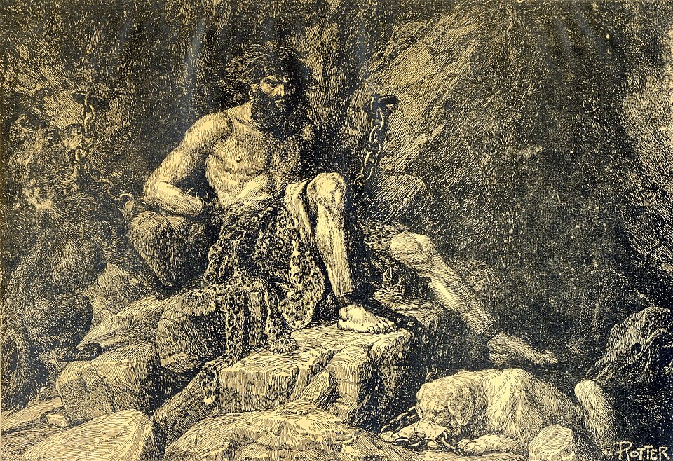
This article also uses an image from the Wikipedia article – Aramazd -- [Wikipedia-Article-Link : https://en.wikipedia.org/wiki/Aramazd ] [Image: Painting of Aramazd (1939) by Josef Rotter; Wikipedia-Image-Author : Magazine in Yerevan] [Wikipedia-Image-Link: https://en.wikipedia.org/wiki/File:Aramazd_painting_by_Josef_Roter.jpg ] [Image Availed Under Creative Commons Attribution-Share Alike 4.0 International license;] [License-Link: https://creativecommons.org/licenses/by-sa/4.0/deed.en ] [You may copy, distribute and transmit the work (image) or share (alike) the work (image), provided that you comply with the terms of the Creative Commons Attribution-Share Alike 4.0 International license or other compatible license in distribution] [License-Link: https://creativecommons.org/licenses/by-sa/4.0/deed.en ] [Please Also Relate to Original Individual Text and Image URLs for More Usage Property and Sharing, Remixing or Attributing the Contents] [Contents on Wikipedia is covered by -- Disclaimer – Wikipedia-Disclaimer-Link: https://en.wikipedia.org/wiki/Wikipedia:General_disclaimer ] [Contents in this Website is also covered by Disclaimer linked at the bottom of the Page] [This website article means no intellectual appropriation by any way and only wishes to contribute in sharing of knowledge]
@Historical Events
08-Jul-2026 11 am
08-Jul-2026 11 am
This article uses text information from the Wikipedia article – Anahit – [Wikipedia-Article-Link: https://en.wikipedia.org/wiki/Anahit ] which is released under the -- Creative Commons Attribution-ShareAlike 4.0 License – [License-Link: https://creativecommons.org/licenses/by-sa/4.0/deed.en ( https://en.wikipedia.org/wiki/Wikipedia:Text_of_the_Creative_Commons_Attribution-ShareAlike_4.0_International_License )] and additional terms may apply. [List of Principal Authors (5 or less) of the Wikipedia-Article on the date of this Article being Created in this Website: - LouisAragon, Eupator, 87.241.148.255, VSGrigorian, QuartierLatin1968] [Use the following Authorship tool to find out the author contributions:- https://xtools.wmcloud.org/authorship ] [The Current Article on this Website has been paraphrased from the above linked corresponding Wikipedia-Article and You may redistribute this, verbatim or modified, provided that you comply with the terms of the Creative Commons Attribution-ShareAlike 4.0 License] [License-Link: https://creativecommons.org/licenses/by-sa/4.0/deed.en ( https://en.wikipedia.org/wiki/Wikipedia:Text_of_the_Creative_Commons_Attribution-ShareAlike_4.0_International_License )]
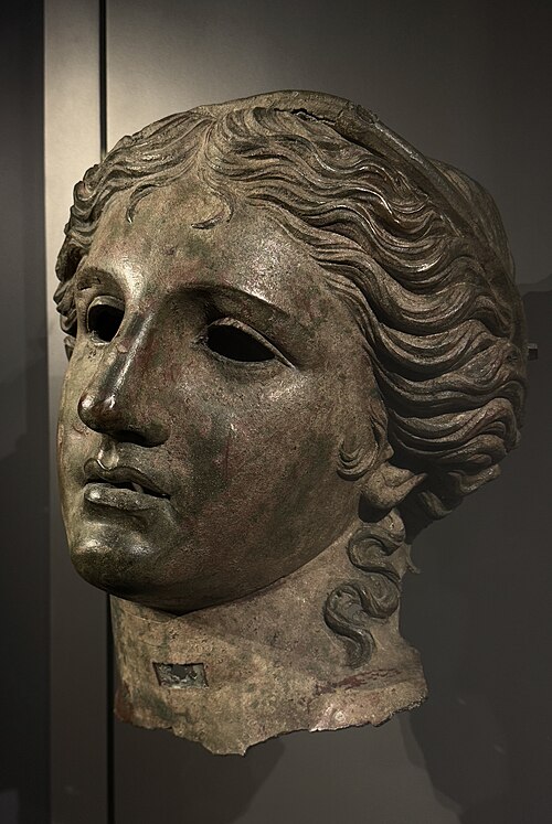
This article also uses an image from the Wikipedia article -- Anahit -- [Wikipedia-Article-Link : https://en.wikipedia.org/wiki/Anahit ] [Image: Satala Aphrodite (Bronze head of Satala Aphrodite (believed to be Anahit)); Wikipedia-Image-Author: Yerevantsi https://commons.wikimedia.org/wiki/User:Yerevantsi ] [Wikipedia-Image-Link: https://en.wikipedia.org/wiki/File:Satala_Aphrodite_Yerevan_2025.jpg ] [Image Availed Under Creative Commons Attribution 4.0 International license;] [License-Link: https://creativecommons.org/licenses/by/4.0/deed.en ] [You may copy, distribute and transmit the work (image) or remix the work (image) and attribute the work (image) with proper license link, complying with the terms of the Creative Commons Attribution 4.0 International license in distribution] [License-Link: https://creativecommons.org/licenses/by/4.0/deed.en ] [Please Also Relate to Original Individual Text and Image URLs for More Usage Property and Sharing, Remixing or Attributing the Contents] [Contents on Wikipedia is covered by -- Disclaimer – Wikipedia-Disclaimer-Link: https://en.wikipedia.org/wiki/Wikipedia:General_disclaimer ] [Contents in this Website is also covered by Disclaimer linked at the bottom of the Page] [This website article means no intellectual appropriation by any way and only wishes to contribute in sharing of knowledge]
.jpg)
@Mythology, Legends, Folklore and Mysterious Things
07-Jul-2026 10 pm
07-Jul-2026 10 pm
This article uses text information from the Wikipedia article – Wayland_the_Smith – [Wikipedia-Article-Link: https://en.wikipedia.org/wiki/Wayland_the_Smith ] which is released under the -- Creative Commons Attribution-ShareAlike 4.0 License – [License-Link: https://creativecommons.org/licenses/by-sa/4.0/deed.en ( https://en.wikipedia.org/wiki/Wikipedia:Text_of_the_Creative_Commons_Attribution-ShareAlike_4.0_International_License )] and additional terms may apply. [List of Principal Authors (5 or less) of the Wikipedia-Article on the date of this Article being Created in this Website: - Kiyoweap, Alarichall, Johnbod, 87.114.117.107, 73.210.155.96] [Use the following Authorship tool to find out the author contributions:- https://xtools.wmcloud.org/authorship ] [The Current Article on this Website has been paraphrased from the above linked corresponding Wikipedia-Article and You may redistribute this, verbatim or modified, provided that you comply with the terms of the Creative Commons Attribution-ShareAlike 4.0 License] [License-Link: https://creativecommons.org/licenses/by-sa/4.0/deed.en ( https://en.wikipedia.org/wiki/Wikipedia:Text_of_the_Creative_Commons_Attribution-ShareAlike_4.0_International_License )]
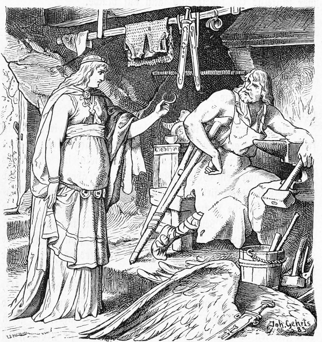
This article also uses an image from the Wikipedia article – Wayland_the_Smith – [Wikipedia-Article-Link: https://en.wikipedia.org/wiki/Wayland_the_Smith ] [Image: Böðvildur í smiðju Völundar ((Böðvild (Böðvildur) in forge of Wayland (Völundur)) by Johannes Gehrts (1855–1921). Date: 1 January 1888] [Wikipedia-Image-Link: https://en.wikipedia.org/wiki/File:Badhild_in_Wielands_Schmiede.png ] [This work is in the public domain in its country of origin and other countries and areas where the copyright term is the life of author plus 70 years or fewer. This work is in the public domain in the United States because it was published (or registered with the U.S. Copyright Office) before January 1, 1931.] [Please Also Relate to Original Individual Text and Image URLs for More Usage Property and Sharing, Remixing or Attributing the Contents] [Contents on Wikipedia is covered by – Disclaimer – Wikipedia-Disclaimer-Link: https://en.wikipedia.org/wiki/Wikipedia:General_disclaimer ] [Contents in this Website is also covered by Disclaimer linked at the bottom of the Page] [This website article means no intellectual appropriation by any way and only wishes to contribute in sharing of knowledge]
@Heritage Places, Castles & Architecture
07-Jul-2026 12 pm
07-Jul-2026 12 pm
This article uses text information from the Wikipedia article – Muiden_Castle – [Wikipedia-Article-Link: https://en.wikipedia.org/wiki/Muiden_Castle ] which is released under the -- Creative Commons Attribution-ShareAlike 4.0 License – [License-Link: https://creativecommons.org/licenses/by-sa/4.0/deed.en ( https://en.wikipedia.org/wiki/Wikipedia:Text_of_the_Creative_Commons_Attribution-ShareAlike_4.0_International_License )] and additional terms may apply. [List of Principal Authors (5 or less) of the Wikipedia-Article on the date of this Article being Created in this Website: - 213.84.67.163, Black Orchid, AnnekeBart, Wwikix, P199] [Use the following Authorship tool to find out the author contributions:- https://xtools.wmcloud.org/authorship ] [The Current Article on this Website has been paraphrased from the above linked corresponding Wikipedia-Article and You may redistribute this, verbatim or modified, provided that you comply with the terms of the Creative Commons Attribution-ShareAlike 4.0 License] [License-Link: https://creativecommons.org/licenses/by-sa/4.0/deed.en ( https://en.wikipedia.org/wiki/Wikipedia:Text_of_the_Creative_Commons_Attribution-ShareAlike_4.0_International_License )]
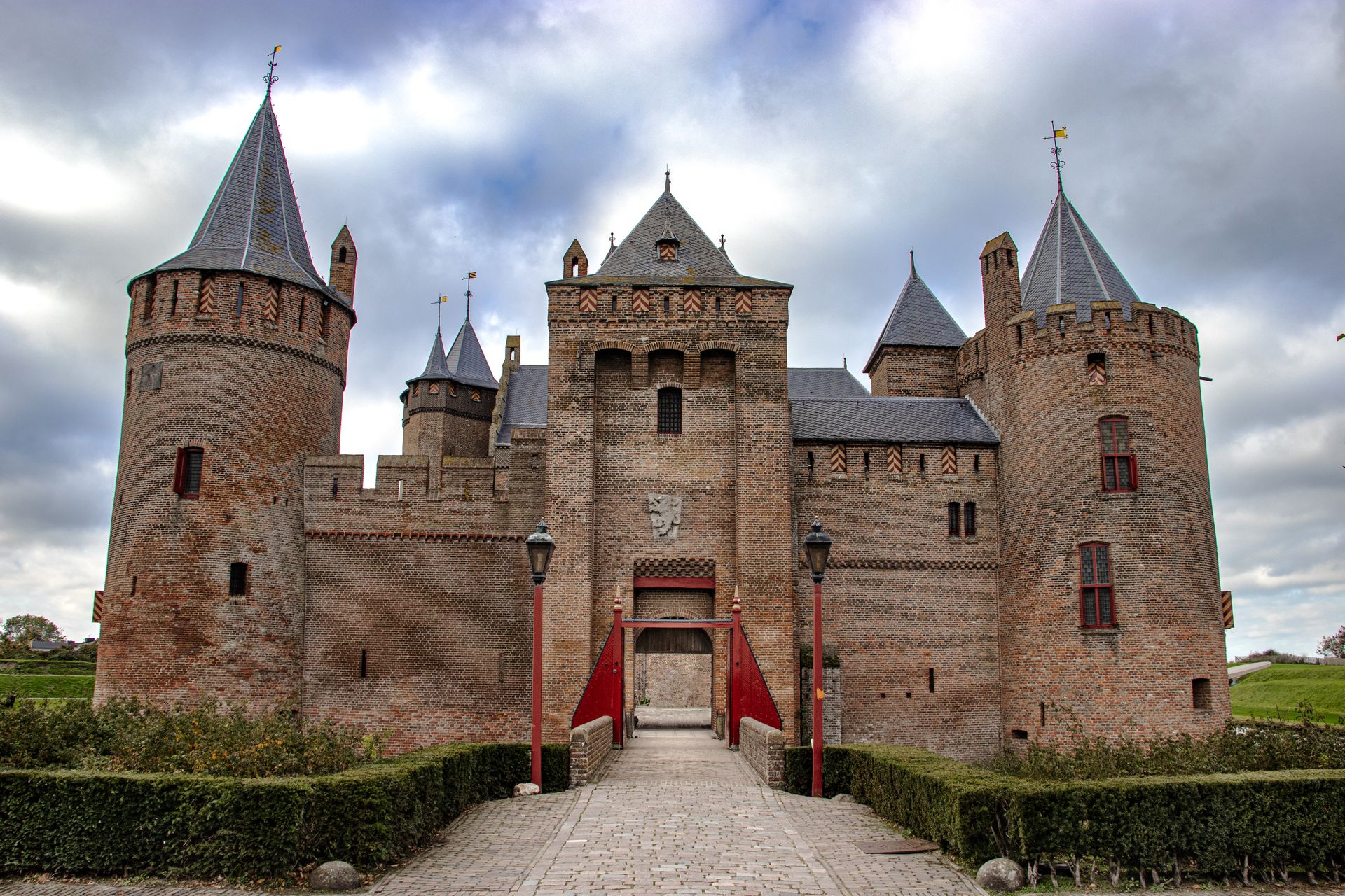
[Image: Explore the grandeur of the gothic architecture of the Muiden Castle in Muiden, Netherlands. A stunning medieval landmark (Image-description is paraphrased from original); Image-Author: Julien GAROT] [Image-Source-Link: https://www.pexels.com/photo/muiden-castle-in-netherlands-14622281/ ] [License-Link: https://www.pexels.com/license/ ] [Please Also Relate to Original Individual Text and Image URLs for More Usage Property and Sharing, Remixing or Attributing the Contents] [Contents on Wikipedia is covered by – Disclaimer – [Wikipedia-Disclaimer-Link: https://en.wikipedia.org/wiki/Wikipedia:General_disclaimer ] [Contents in this Website is also covered by Disclaimer linked at the bottom of the Page] [This website article means no intellectual appropriation by any way and only wishes to contribute in sharing of knowledge]
@Heritage Places, Castles & Architecture
04-Jul-2026 03 pm
04-Jul-2026 03 pm
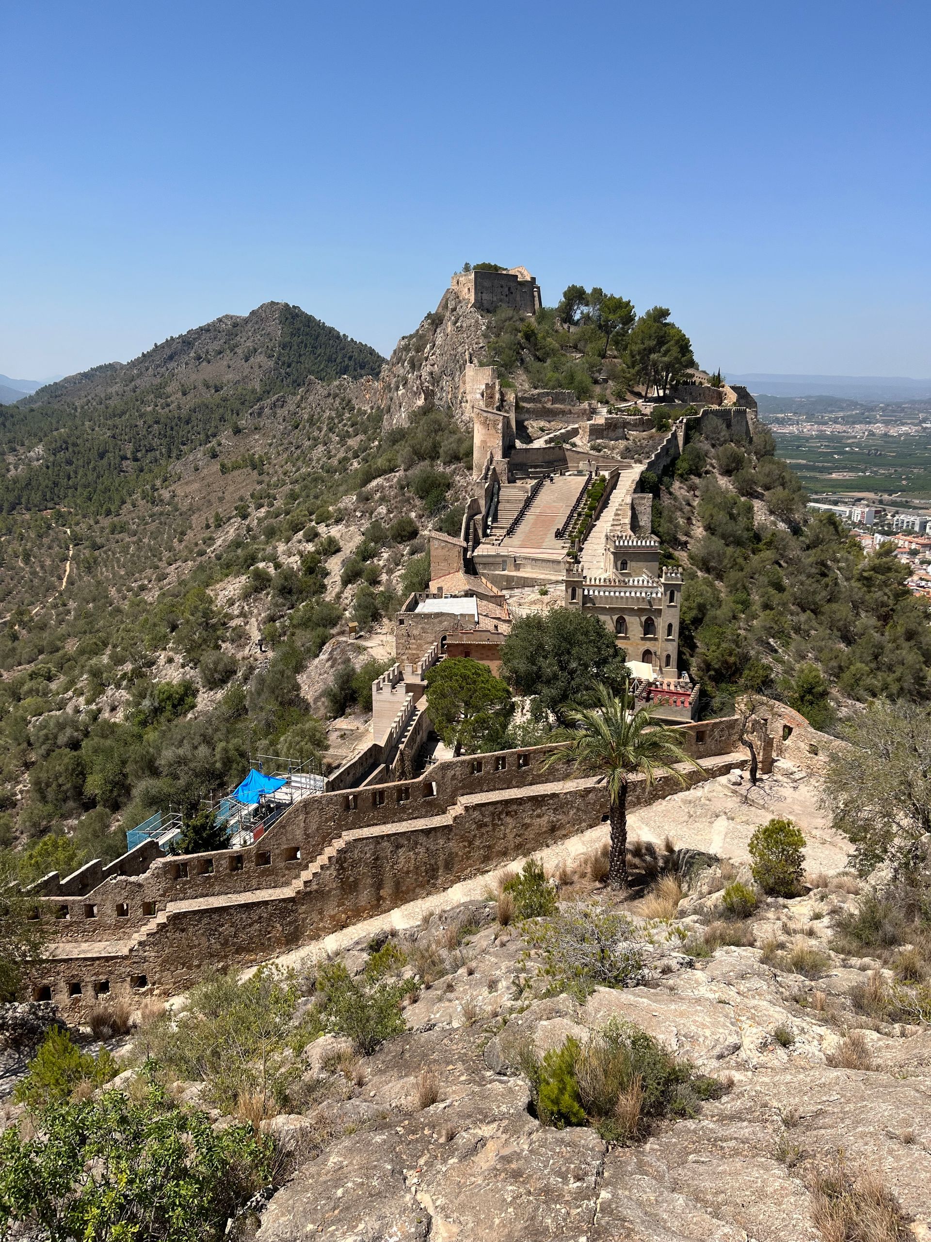
This article uses text information from the Wikipedia article – Xativa_Castle – [Wikipedia-Article-Link: https://en.wikipedia.org/wiki/Xativa_Castle ] which is released under the -- Creative Commons Attribution-ShareAlike 4.0 License – [License-Link: https://creativecommons.org/licenses/by-sa/4.0/deed.en ( https://en.wikipedia.org/wiki/Wikipedia:Text_of_the_Creative_Commons_Attribution-ShareAlike_4.0_International_License )] and additional terms may apply. [List of Principal Authors (5 or less) of the Wikipedia-Article on the date of this Article being Created in this Website: - Emael Khan, Jaimeoa, Simon Burchell, 67.69.69.171, D6] [Use the following Authorship tool to find out the author contributions:- https://xtools.wmcloud.org/authorship ] [The Current Article on this Website has been paraphrased from the above linked corresponding Wikipedia-Article and You may redistribute this, verbatim or modified, provided that you comply with the terms of the Creative Commons Attribution-ShareAlike 4.0 License] [License-Link: https://creativecommons.org/licenses/by-sa/4.0/deed.en ( https://en.wikipedia.org/wiki/Wikipedia:Text_of_the_Creative_Commons_Attribution-ShareAlike_4.0_International_License )]
[Image: Explore the ancient Xàtiva Castle perched on a hill in Spain, showcasing historic fortifications and scenic landscapes; Image-Author: Isabelle K.] [Image-Source-Link: https://www.pexels.com/photo/the-castle-on-top-of-a-mountain-with-a-pool-27522922/ ] [License-Link: https://www.pexels.com/license/ ] [Please Also Relate to Original Individual Text and Image URLs for More Usage Property and Sharing, Remixing or Attributing the Contents] [Contents on Wikipedia is covered by – Disclaimer – [Wikipedia-Disclaimer-Link: https://en.wikipedia.org/wiki/Wikipedia:General_disclaimer ] [Contents in this Website is also covered by Disclaimer linked at the bottom of the Page] [This website article means no intellectual appropriation by any way and only wishes to contribute in sharing of knowledge]
@Mythology, Legends, Folklore and Mysterious Things
03-Jul-2026 03 am
03-Jul-2026 03 am
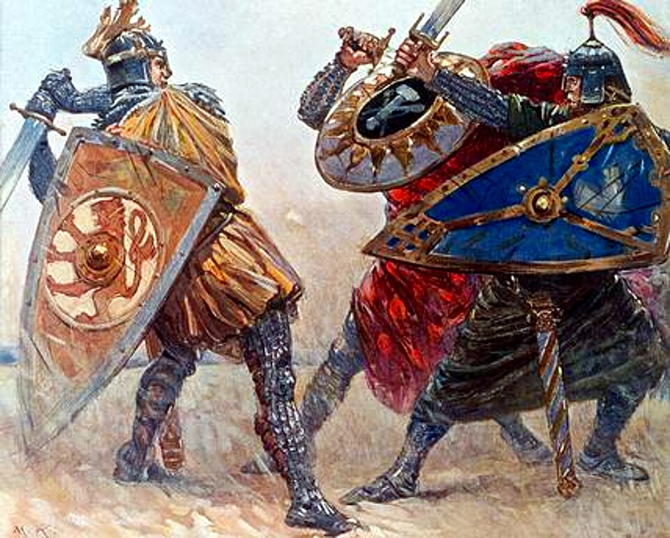
This article uses text information from the Wikipedia article – Alpharts_Tod – [Wikipedia-Article-Link: https://en.wikipedia.org/wiki/Alpharts_Tod ] which is released under the -- Creative Commons Attribution-ShareAlike 4.0 License – [License-Link: https://creativecommons.org/licenses/by-sa/4.0/deed.en ( https://en.wikipedia.org/wiki/Wikipedia:Text_of_the_Creative_Commons_Attribution-ShareAlike_4.0_International_License )] and additional terms may apply. [List of Principal Authors (5 or less) of the Wikipedia-Article on the date of this Article being Created in this Website: - Ermenrich, Pfold, 188.172.108.39, Twoplustwoequalsfive, Hydronium Hydroxide] [Use the following Authorship tool to find out the author contributions:- https://xtools.wmcloud.org/authorship ] [The Current Article on this Website has been paraphrased from the above linked corresponding Wikipedia-Article and You may redistribute this, verbatim or modified, provided that you comply with the terms of the Creative Commons Attribution-ShareAlike 4.0 License] [License-Link: https://creativecommons.org/licenses/by-sa/4.0/deed.en ( https://en.wikipedia.org/wiki/Wikipedia:Text_of_the_Creative_Commons_Attribution-ShareAlike_4.0_International_License )]
This article also uses an image from the Wikipedia article – Alpharts_Tod – [Wikipedia-Article-Link: https://en.wikipedia.org/wiki/Alpharts_Tod ] [Image: Alphart battles Wittich and Heime (2 January 1904) by Max Koch (1859–1930) [Scan of image in book, Urväterhort, Die Heldensagen der Germanen, M. Koch u. A. Heusler, Berlin (M. Oldenburg) o. J. (1904)]] [Wikipedia-Image-Link: https://en.wikipedia.org/wiki/File:ALPHART.jpg ] [This work is in the public domain in its country of origin and other countries and areas where the copyright term is the life of author plus 70 years or fewer. This work is in the public domain in the United States because it was published (or registered with the U.S. Copyright Office) before January 1, 1931.] [Please Also Relate to Original Individual Text and Image URLs for More Usage Property and Sharing, Remixing or Attributing the Contents] [Contents on Wikipedia is covered by – Disclaimer – Wikipedia-Disclaimer-Link: https://en.wikipedia.org/wiki/Wikipedia:General_disclaimer ] [Contents in this Website is also covered by Disclaimer linked at the bottom of the Page] [This website article means no intellectual appropriation by any way and only wishes to contribute in sharing of knowledge]
@Historical Events
02-Jul-2026 12 pm
02-Jul-2026 12 pm
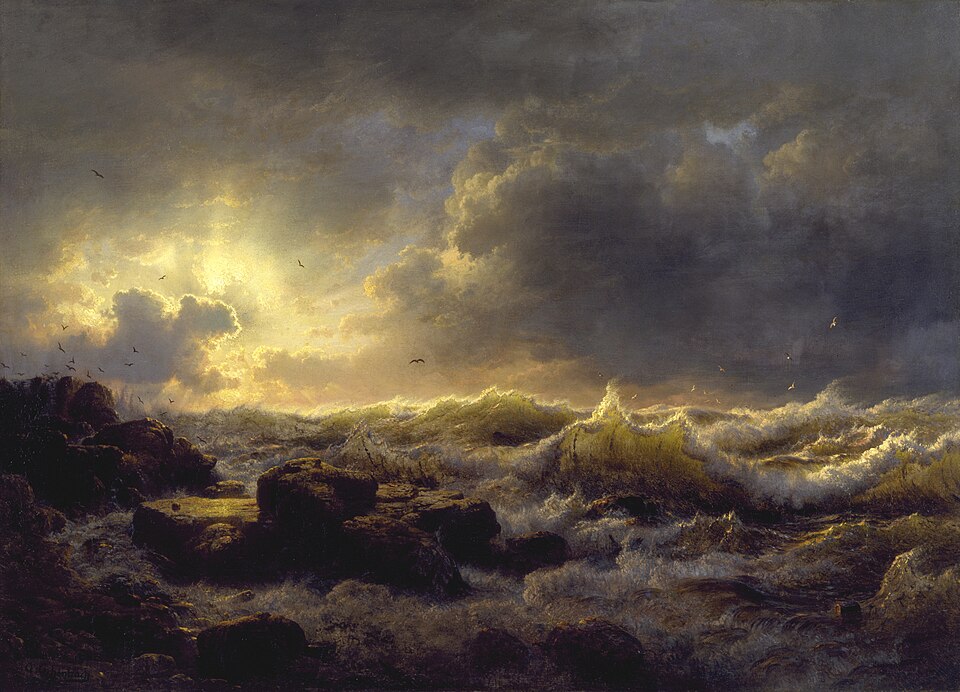
This article uses text information from the Wikipedia article – Sturm_und_Drang – [Wikipedia-Article-Link: https://en.wikipedia.org/wiki/Sturm_und_Drang ] which is released under the -- Creative Commons Attribution-ShareAlike 4.0 License – [License-Link: https://creativecommons.org/licenses/by-sa/4.0/deed.en ( https://en.wikipedia.org/wiki/Wikipedia:Text_of_the_Creative_Commons_Attribution-ShareAlike_4.0_International_License )] and additional terms may apply. [List of Principal Authors (5 or less) of the Wikipedia-Article on the date of this Article being Created in this Website: - SDR41, Maxitron, Igni, Vanasan, BrunoMaggiore] [Use the following Authorship tool to find out the author contributions:- https://xtools.wmcloud.org/authorship ] [The Current Article on this Website has been paraphrased from the above linked corresponding Wikipedia-Article and You may redistribute this, verbatim or modified, provided that you comply with the terms of the Creative Commons Attribution-ShareAlike 4.0 License] [License-Link: https://creativecommons.org/licenses/by-sa/4.0/deed.en ( https://en.wikipedia.org/wiki/Wikipedia:Text_of_the_Creative_Commons_Attribution-ShareAlike_4.0_International_License )]
This article also uses an image from the Wikipedia article – Sturm_und_Drang – [Wikipedia-Article-Link: https://en.wikipedia.org/wiki/Sturm_und_Drang ] [Image: Clearing Up—Coast of Sicily (1847) by Andreas Achenbach (1815–1910)] [Wikipedia-Image-Link: https://en.wikipedia.org/wiki/File:Andreas_Achenbach_-_Clearing_Up%E2%80%94Coast_of_Sicily_-_Walters_37116.jpg ] [This work is in the public domain in its country of origin and other countries and areas where the copyright term is the life of author plus 100 years or fewer. This work has been released into the public domain by its author, Walters Art Museum https://thewalters.org/ This applies worldwide. In some countries this may not be legally possible; if so: Walters Art Museum grants anyone the right to use this work for any purpose, without any conditions, unless such conditions are required by law.] [Please Also Relate to Original Individual Text and Image URLs for More Usage Property and Sharing, Remixing or Attributing the Contents] [Contents on Wikipedia is covered by – Disclaimer – Wikipedia-Disclaimer-Link: https://en.wikipedia.org/wiki/Wikipedia:General_disclaimer ] [Contents in this Website is also covered by Disclaimer linked at the bottom of the Page] [This website article means no intellectual appropriation by any way and only wishes to contribute in sharing of knowledge]
@Historical Events
01-Jul-2026 07 pm
01-Jul-2026 07 pm
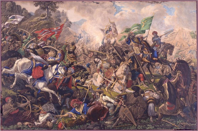
This article uses text information from the Wikipedia article – Battle_of_Breadfield – [Wikipedia-Article-Link: https://en.wikipedia.org/wiki/Battle_of_Breadfield ] which is released under the -- Creative Commons Attribution-ShareAlike 4.0 License – [License-Link: https://creativecommons.org/licenses/by-sa/4.0/deed.en ( https://en.wikipedia.org/wiki/Wikipedia:Text_of_the_Creative_Commons_Attribution-ShareAlike_4.0_International_License )] and additional terms may apply. [List of Principal Authors (5 or less) of the Wikipedia-Article on the date of this Article being Created in this Website: - Doncsecz~enwiki, OrionNimrod, Gallopingmajor, Queenmomcat, Alexis Ivanov] [Use the following Authorship tool to find out the author contributions:- https://xtools.wmcloud.org/authorship ] [The Current Article on this Website has been paraphrased from the above linked corresponding Wikipedia-Article and You may redistribute this, verbatim or modified, provided that you comply with the terms of the Creative Commons Attribution-ShareAlike 4.0 License] [License-Link: https://creativecommons.org/licenses/by-sa/4.0/deed.en ( https://en.wikipedia.org/wiki/Wikipedia:Text_of_the_Creative_Commons_Attribution-ShareAlike_4.0_International_License )]
This article also uses an image from the Wikipedia article – Battle_of_Breadfield – [Wikipedia-Article-Link: https://en.wikipedia.org/wiki/Battle_of_Breadfield ] [Image: The Battle of Kenyérmező (Breadfield) by Eduard Gurk (19th century)] [Wikipedia-Image-Link: https://en.wikipedia.org/wiki/File:Keny%C3%A9rmez%C5%91i_csata.jpg ] [This work is in the public domain in its country of origin and other countries and areas where the copyright term is the life of author plus 70 years or fewer. This work is also believed to be in the public domain in the United States as well.] [Please Also Relate to Original Individual Text and Image URLs for More Usage Property and Sharing, Remixing or Attributing the Contents] [Contents on Wikipedia is covered by – Disclaimer – Wikipedia-Disclaimer-Link: https://en.wikipedia.org/wiki/Wikipedia:General_disclaimer ] [Contents in this Website is also covered by Disclaimer linked at the bottom of the Page] [This website article means no intellectual appropriation by any way and only wishes to contribute in sharing of knowledge]
@Heritage Places, Castles & Architecture
01-Jul-2026 09 am
01-Jul-2026 09 am
This article uses text information from the Wikipedia article – Château_de_Chaumont – [Wikipedia-Article-Link: https://en.wikipedia.org/wiki/Ch%C3%A2teau_de_Chaumont ] which is released under the -- Creative Commons Attribution-ShareAlike 4.0 License – [License-Link: https://creativecommons.org/licenses/by-sa/4.0/deed.en ( https://en.wikipedia.org/wiki/Wikipedia:Text_of_the_Creative_Commons_Attribution-ShareAlike_4.0_International_License )] and additional terms may apply. [List of Principal Authors (5 or less) of the Wikipedia-Article on the date of this Article being Created in this Website: - Wetman, Nev1, Garnet1106, Bohemian Baltimore, Bpierreb] [Use the following Authorship tool to find out the author contributions:- https://xtools.wmcloud.org/authorship ] [The Current Article on this Website has been paraphrased from the above linked corresponding Wikipedia-Article and You may redistribute this, verbatim or modified, provided that you comply with the terms of the Creative Commons Attribution-ShareAlike 4.0 License] [License-Link: https://creativecommons.org/licenses/by-sa/4.0/deed.en ( https://en.wikipedia.org/wiki/Wikipedia:Text_of_the_Creative_Commons_Attribution-ShareAlike_4.0_International_License )]
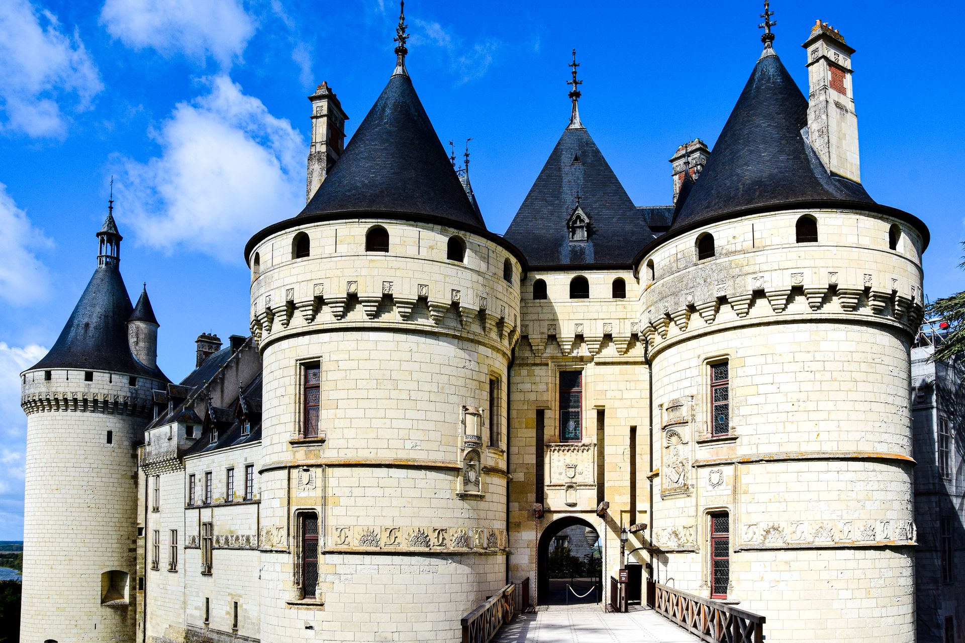
[Image: Explore the grandeur of Château de Chaumont, a renaissance castle in France, Loire Valley; Image-Author: AXP Photography] [Image-Source-Link: https://www.pexels.com/photo/gate-of-chateau-de-chenonceau-in-loire-valley-19136626/ ] [License-Link: https://www.pexels.com/license/ ] [Please Also Relate to Original Individual Text and Image URLs for More Usage Property and Sharing, Remixing or Attributing the Contents] [Contents on Wikipedia is covered by – Disclaimer – [Wikipedia-Disclaimer-Link: https://en.wikipedia.org/wiki/Wikipedia:General_disclaimer ] [Contents in this Website is also covered by Disclaimer linked at the bottom of the Page] [This website article means no intellectual appropriation by any way and only wishes to contribute in sharing of knowledge]
@Heritage Places, Castles & Architecture
30-Jun-2026 06 am
30-Jun-2026 06 am
This article uses text information from the Wikipedia article – Heidelberg_Castle – [Wikipedia-Article-Link: https://en.wikipedia.org/wiki/Heidelberg_Castle ] which is released under the -- Creative Commons Attribution-ShareAlike 4.0 License – [License-Link: https://creativecommons.org/licenses/by-sa/4.0/deed.en ( https://en.wikipedia.org/wiki/Wikipedia:Text_of_the_Creative_Commons_Attribution-ShareAlike_4.0_International_License )] and additional terms may apply. [List of Principal Authors (5 or less) of the Wikipedia-Article on the date of this Article being Created in this Website: - Rasolated, Gnasher72, Wikid77, Hedgehog33, 87.165.235.223] [Use the following Authorship tool to find out the author contributions:- https://xtools.wmcloud.org/authorship ] [The Current Article on this Website has been paraphrased from the above linked corresponding Wikipedia-Article and You may redistribute this, verbatim or modified, provided that you comply with the terms of the Creative Commons Attribution-ShareAlike 4.0 License] [License-Link: https://creativecommons.org/licenses/by-sa/4.0/deed.en ( https://en.wikipedia.org/wiki/Wikipedia:Text_of_the_Creative_Commons_Attribution-ShareAlike_4.0_International_License )]
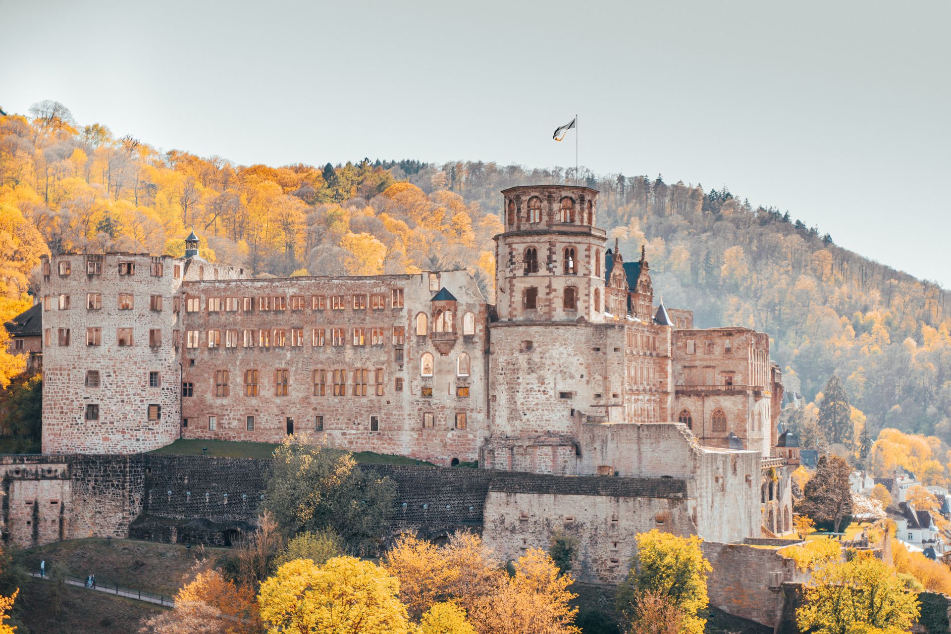
[Image: Scenic view of Heidelberg Castle surrounded by vibrant autumn foliage on a sunny day; Image-Author: Antonio Di Giacomo] [Image-Source-Link: https://www.pexels.com/photo/ruined-old-castle-on-a-hill-at-autumn-8164638/ ] [License-Link: https://www.pexels.com/license/ ] [Please Also Relate to Original Individual Text and Image URLs for More Usage Property and Sharing, Remixing or Attributing the Contents] [Contents on Wikipedia is covered by – Disclaimer – [Wikipedia-Disclaimer-Link: https://en.wikipedia.org/wiki/Wikipedia:General_disclaimer ] [Contents in this Website is also covered by Disclaimer linked at the bottom of the Page] [This website article means no intellectual appropriation by any way and only wishes to contribute in sharing of knowledge]
@Heritage Places, Castles & Architecture
28-Jun-2026 06 am
28-Jun-2026 06 am
This article uses text information from the Wikipedia article – Hluboká_Castle – [Wikipedia-Article-Link: https://en.wikipedia.org/wiki/Hlubok%C3%A1_Castle ] which is released under the -- Creative Commons Attribution-ShareAlike 4.0 License – [License-Link: https://creativecommons.org/licenses/by-sa/4.0/deed.en ( https://en.wikipedia.org/wiki/Wikipedia:Text_of_the_Creative_Commons_Attribution-ShareAlike_4.0_International_License )] and additional terms may apply. [List of Principal Authors (5 or less) of the Wikipedia-Article on the date of this Article being Created in this Website: - FromCzech, Etrielle, ~2026-16198-9, Anon lynx, Blairall] [Use the following Authorship tool to find out the author contributions:- https://xtools.wmcloud.org/authorship ] [The Current Article on this Website has been paraphrased from the above linked corresponding Wikipedia-Article and You may redistribute this, verbatim or modified, provided that you comply with the terms of the Creative Commons Attribution-ShareAlike 4.0 License] [License-Link: https://creativecommons.org/licenses/by-sa/4.0/deed.en ( https://en.wikipedia.org/wiki/Wikipedia:Text_of_the_Creative_Commons_Attribution-ShareAlike_4.0_International_License )]
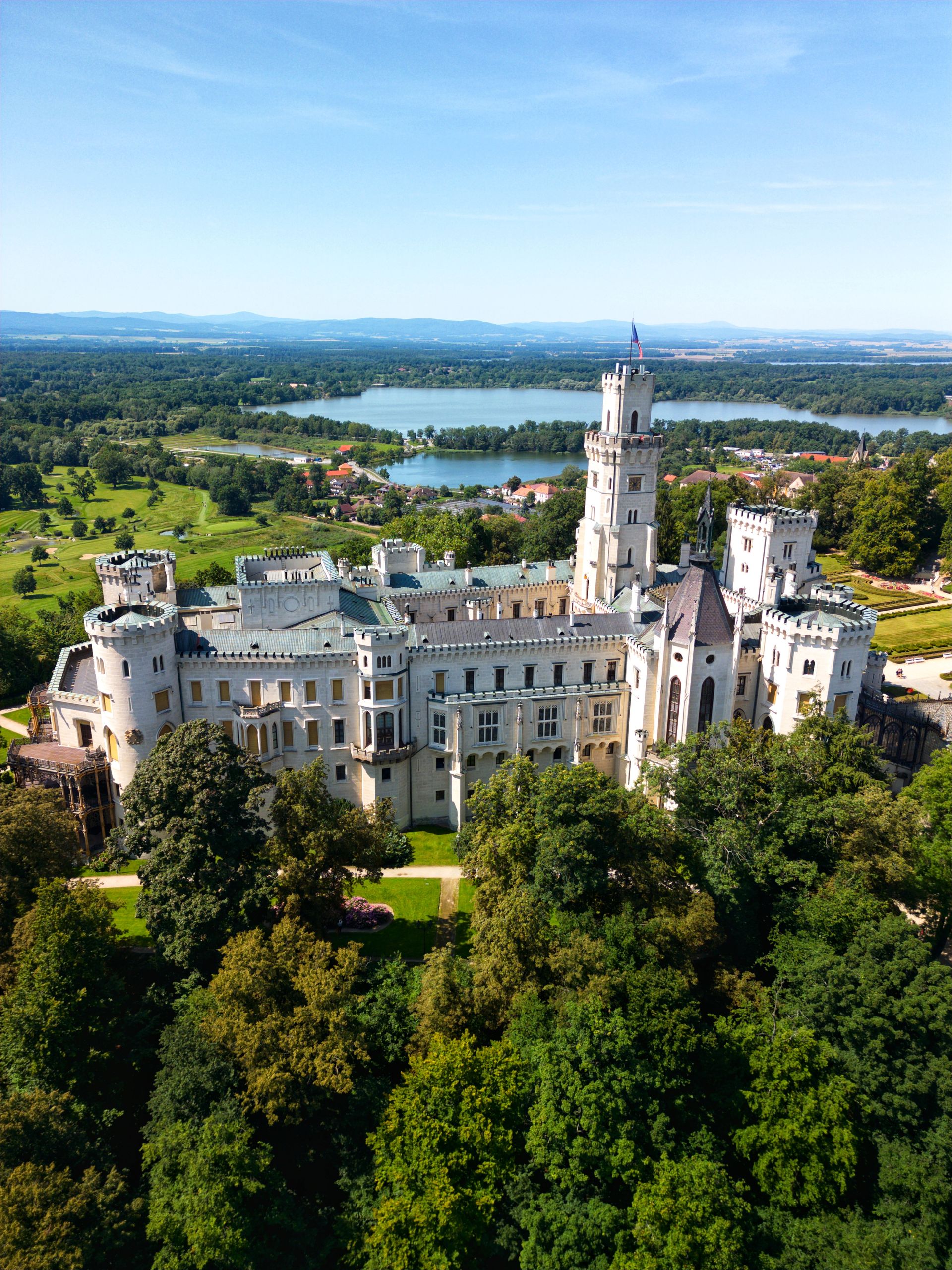
[Image: Stunning aerial shot of Hluboká Castle surrounded by lush greenery and a serene lake; Image-Author: Martin Škeřík] [Image-Source-Link: https://www.pexels.com/photo/aerial-view-of-majestic-hluboka-castle-in-summer-33370241/ ] [License-Link: https://www.pexels.com/license/ ] [Please Also Relate to Original Individual Text and Image URLs for More Usage Property and Sharing, Remixing or Attributing the Contents] [Contents on Wikipedia is covered by – Disclaimer – [Wikipedia-Disclaimer-Link: https://en.wikipedia.org/wiki/Wikipedia:General_disclaimer ] [Contents in this Website is also covered by Disclaimer linked at the bottom of the Page] [This website article means no intellectual appropriation by any way and only wishes to contribute in sharing of knowledge]
@Historical Events
28-Jun-2026 04 am
28-Jun-2026 04 am
This article uses text information from the Wikipedia article -- Pāṇini -- [Wikipedia-Article-Link: https://en.wikipedia.org/wiki/P%C4%81%E1%B9%87ini ] which is released under the -- Creative Commons Attribution-ShareAlike 4.0 License – [License-Link: https://creativecommons.org/licenses/by-sa/4.0/deed.en ( https://en.wikipedia.org/wiki/Wikipedia:Text_of_the_Creative_Commons_Attribution-ShareAlike_4.0_International_License )] [List of Principal Authors (5 or less) of the Wikipedia-Article on the date of this Article being Created in this Website: - Matarisvan, Ms Sarah Welch, Joshua Jonathan, Avantiputra7, A. j. roberts] [Use the following Authorship tool to find out the author contributions:- https://xtools.wmcloud.org/authorship )] [The Current Article on this Website has been paraphrased from the above linked corresponding Wikipedia-Article and You may redistribute this, verbatim or modified, provided that you comply with the terms of the Creative Commons Attribution-ShareAlike 4.0 License] [License-Link: https://creativecommons.org/licenses/by-sa/4.0/deed.en ( https://en.wikipedia.org/wiki/Wikipedia:Text_of_the_Creative_Commons_Attribution-ShareAlike_4.0_International_License ]
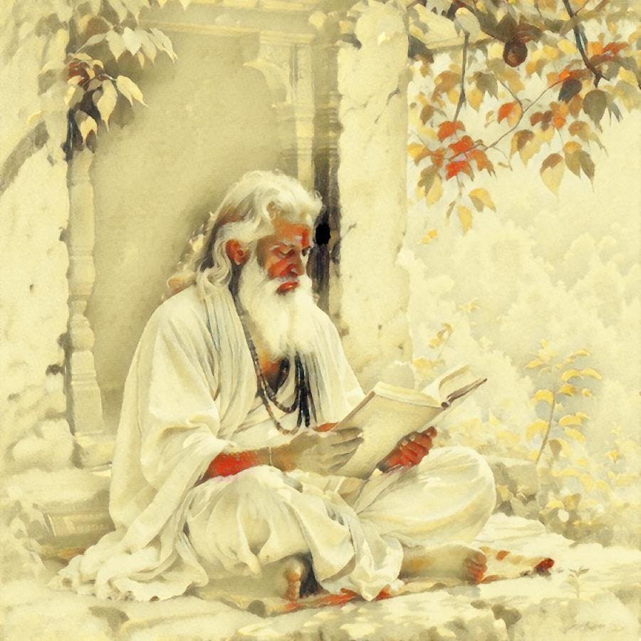
[Image: AI generated art of Pāṇini] [Please Also Relate to Original Individual Text and/or Image URLs (if applicable) for More Usage Property and Sharing, Remixing or Attributing the Contents] [Contents on Wikipedia is covered by -- Disclaimer – [Wikipedia-Disclaimer-Link: https://en.wikipedia.org/wiki/Wikipedia:General_disclaimer ] [Contents in this Website is also covered by Disclaimer linked at the bottom of the Page] [This website article means no intellectual appropriation by any way and only wishes to contribute in sharing of knowledge]
@Heritage Places, Castles & Architecture
27-Jun-2026 07 pm
27-Jun-2026 07 pm
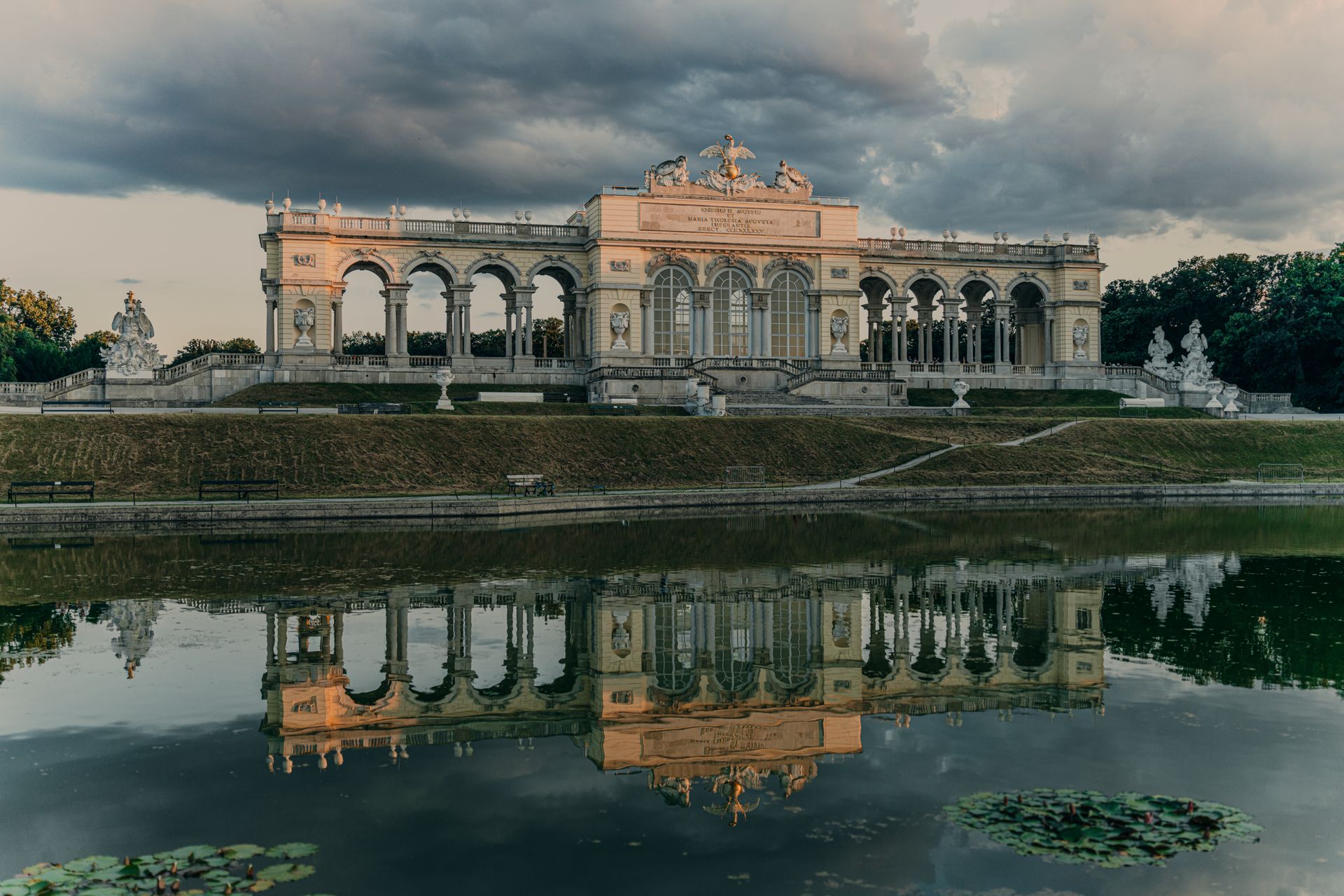
This article uses text information from the Wikipedia article – Schönbrunn_Palace – [Wikipedia-Article-Link: https://en.wikipedia.org/wiki/Sch%C3%B6nbrunn_Palace ] which is released under the -- Creative Commons Attribution-ShareAlike 4.0 License – [License-Link: https://creativecommons.org/licenses/by-sa/4.0/deed.en ( https://en.wikipedia.org/wiki/Wikipedia:Text_of_the_Creative_Commons_Attribution-ShareAlike_4.0_International_License )] and additional terms may apply. [List of Principal Authors (5 or less) of the Wikipedia-Article on the date of this Article being Created in this Website: - W. , 108.76.69.10, Vespadriver, Gryffindor, Xoruz] [Use the following Authorship tool to find out the author contributions:- https://xtools.wmcloud.org/authorship ] [The Current Article on this Website has been paraphrased from the above linked corresponding Wikipedia-Article and You may redistribute this, verbatim or modified, provided that you comply with the terms of the Creative Commons Attribution-ShareAlike 4.0 License] [License-Link: https://creativecommons.org/licenses/by-sa/4.0/deed.en ( https://en.wikipedia.org/wiki/Wikipedia:Text_of_the_Creative_Commons_Attribution-ShareAlike_4.0_International_License )]
[Image: Majestic reflection of the Schonbrunn Palace Gloriette in Vienna, Austria with stunning architecture; Image-Author: thorl5] [Image-Source-Link: https://www.pexels.com/photo/elegant-schonbrunn-palace-gloriette-reflection-33634868/ ] [License-Link: https://www.pexels.com/license/ ] [Please Also Relate to Original Individual Text and Image URLs for More Usage Property and Sharing, Remixing or Attributing the Contents] [Contents on Wikipedia is covered by – Disclaimer – [Wikipedia-Disclaimer-Link: https://en.wikipedia.org/wiki/Wikipedia:General_disclaimer ] [Contents in this Website is also covered by Disclaimer linked at the bottom of the Page] [This website article means no intellectual appropriation by any way and only wishes to contribute in sharing of knowledge]
@Heritage Places, Castles & Architecture
26-Jun-2026 05 am
26-Jun-2026 05 am
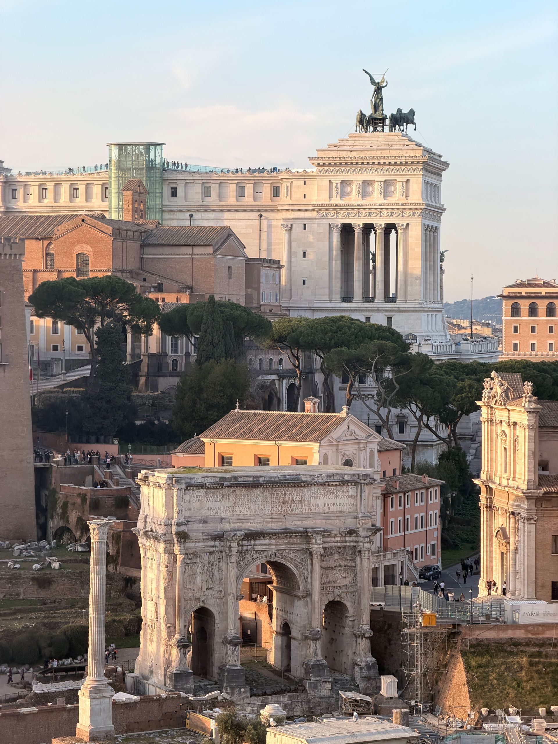
This article uses text information from the Wikipedia article – Victor_Emmanuel_II_Monument – [Wikipedia-Article-Link: https://en.wikipedia.org/wiki/Victor_Emmanuel_II_Monument ] which is released under the -- Creative Commons Attribution-ShareAlike 4.0 License – [License-Link: https://creativecommons.org/licenses/by-sa/4.0/deed.en ( https://en.wikipedia.org/wiki/Wikipedia:Text_of_the_Creative_Commons_Attribution-ShareAlike_4.0_International_License )] and additional terms may apply. [List of Principal Authors (5 or less) of the Wikipedia-Article on the date of this Article being Created in this Website: - ~LukeWiller, Sweetmaple23, Vaselineeeeeeee, Abductive, Epolk] [Use the following Authorship tool to find out the author contributions:- https://xtools.wmcloud.org/authorship ] [The Current Article on this Website has been paraphrased from the above linked corresponding Wikipedia-Article and You may redistribute this, verbatim or modified, provided that you comply with the terms of the Creative Commons Attribution-ShareAlike 4.0 License] [License-Link: https://creativecommons.org/licenses/by-sa/4.0/deed.en ( https://en.wikipedia.org/wiki/Wikipedia:Text_of_the_Creative_Commons_Attribution-ShareAlike_4.0_International_License )]
[Image: Breathtaking view of the Altar of the Fatherland and Roman Forum in Rome, Italy at sunset; Image-Author: Valentina Bešker] [Image-Source-Link: https://www.pexels.com/photo/scenic-view-of-rome-s-iconic-monument-and-ancient-arch-36369389/ ] [License-Link: https://www.pexels.com/license/ ] [Please Also Relate to Original Individual Text and Image URLs for More Usage Property and Sharing, Remixing or Attributing the Contents] [Contents on Wikipedia is covered by – Disclaimer – [Wikipedia-Disclaimer-Link: https://en.wikipedia.org/wiki/Wikipedia:General_disclaimer ] [Contents in this Website is also covered by Disclaimer linked at the bottom of the Page] [This website article means no intellectual appropriation by any way and only wishes to contribute in sharing of knowledge]
@Heritage Places, Castles & Architecture
26-Jun-2026 01 am
26-Jun-2026 01 am
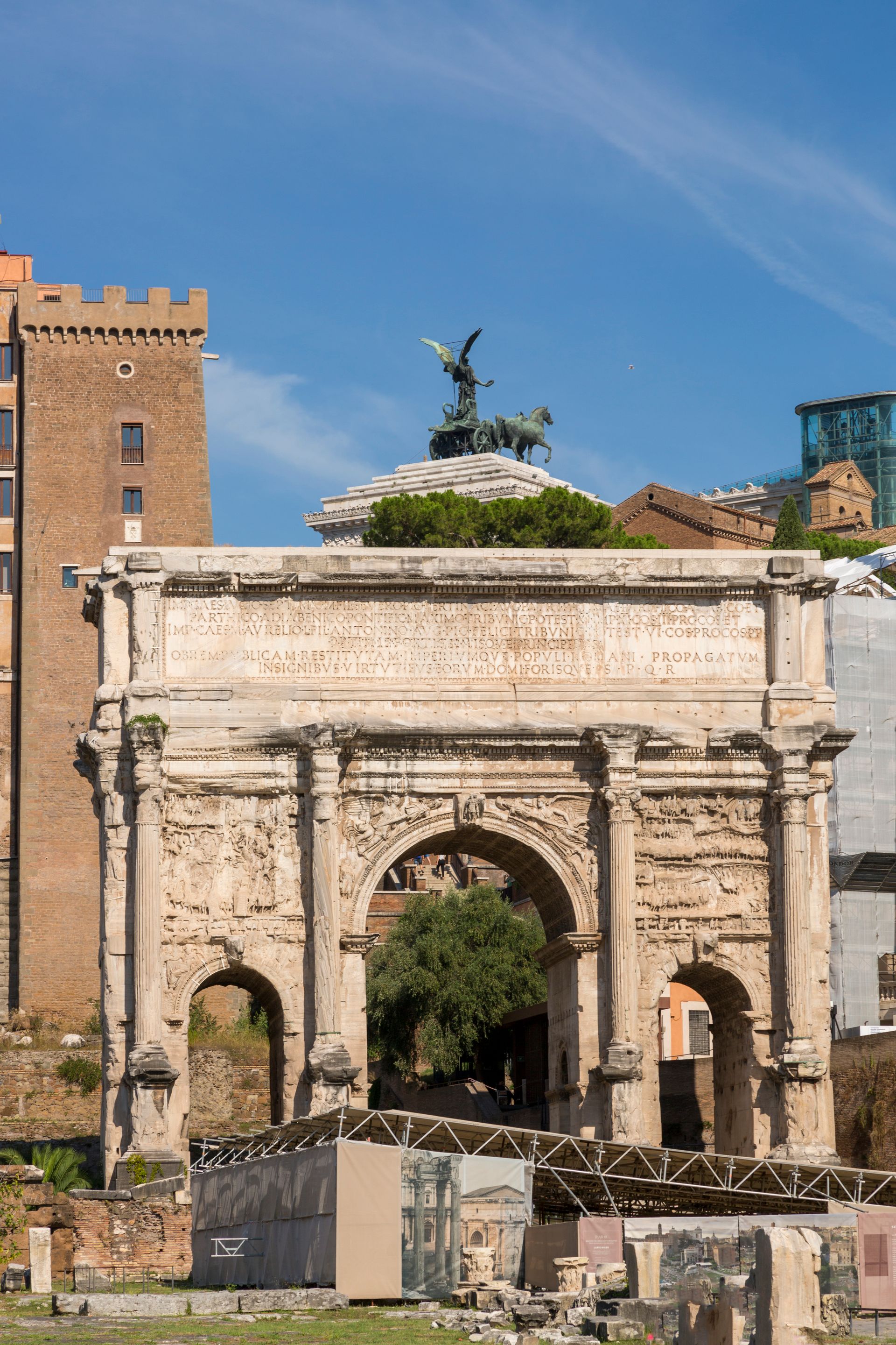
This article uses text information from the Wikipedia article – Arch_of_Septimius_Severus – [Wikipedia-Article-Link: https://en.wikipedia.org/wiki/Arch_of_Septimius_Severus ] which is released under the -- Creative Commons Attribution-ShareAlike 4.0 License – [License-Link: https://creativecommons.org/licenses/by-sa/4.0/deed.en ( https://en.wikipedia.org/wiki/Wikipedia:Text_of_the_Creative_Commons_Attribution-ShareAlike_4.0_International_License )] and additional terms may apply. [List of Principal Authors (5 or less) of the Wikipedia-Article on the date of this Article being Created in this Website: - ~Jdementor, Wetman, Ruedi33a, Mblem1, Great Brightstar] [Use the following Authorship tool to find out the author contributions:- https://xtools.wmcloud.org/authorship ] [The Current Article on this Website has been paraphrased from the above linked corresponding Wikipedia-Article and You may redistribute this, verbatim or modified, provided that you comply with the terms of the Creative Commons Attribution-ShareAlike 4.0 License] [License-Link: https://creativecommons.org/licenses/by-sa/4.0/deed.en ( https://en.wikipedia.org/wiki/Wikipedia:Text_of_the_Creative_Commons_Attribution-ShareAlike_4.0_International_License )]
[Image: View of the ancient Roman arch, the Arch of Septimius Severus, under a clear blue sky; Image-Author: Valentin Ivantsov] [Image-Source-Link: https://www.pexels.com/photo/triumphal-arch-of-septimius-severus-in-rome-33606685/ ] [License-Link: https://www.pexels.com/license/ ] [Please Also Relate to Original Individual Text and Image URLs for More Usage Property and Sharing, Remixing or Attributing the Contents] [Contents on Wikipedia is covered by – Disclaimer – [Wikipedia-Disclaimer-Link: https://en.wikipedia.org/wiki/Wikipedia:General_disclaimer ] [Contents in this Website is also covered by Disclaimer linked at the bottom of the Page] [This website article means no intellectual appropriation by any way and only wishes to contribute in sharing of knowledge]
@Heritage Places, Castles & Architecture
25-Jun-2026 03 am
25-Jun-2026 03 am
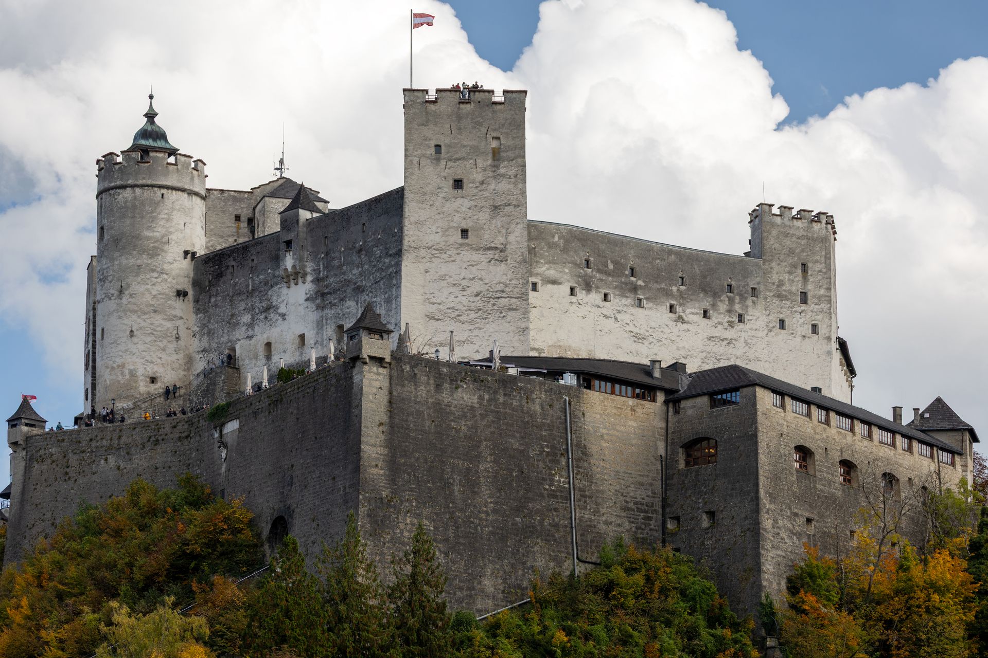
This article uses text information from the Wikipedia article – Hohensalzburg_Fortress – [Wikipedia-Article-Link: https://en.wikipedia.org/wiki/Hohensalzburg_Fortress ] which is released under the -- Creative Commons Attribution-ShareAlike 4.0 License – [License-Link: https://creativecommons.org/licenses/by-sa/4.0/deed.en ( https://en.wikipedia.org/wiki/Wikipedia:Text_of_the_Creative_Commons_Attribution-ShareAlike_4.0_International_License )] and additional terms may apply. [List of Principal Authors (5 or less) of the Wikipedia-Article on the date of this Article being Created in this Website: - ~Gryffindor, Akubra, 92.225.121.58, Starbois, MeliskaM] [Use the following Authorship tool to find out the author contributions:- https://xtools.wmcloud.org/authorship ] [The Current Article on this Website has been paraphrased from the above linked corresponding Wikipedia-Article and You may redistribute this, verbatim or modified, provided that you comply with the terms of the Creative Commons Attribution-ShareAlike 4.0 License] [License-Link: https://creativecommons.org/licenses/by-sa/4.0/deed.en ( https://en.wikipedia.org/wiki/Wikipedia:Text_of_the_Creative_Commons_Attribution-ShareAlike_4.0_International_License )]
[Image: Majestic Hohensalzburg Castle in Salzburg, surrounded by colorful autumn foliage; Image-Author: Alan Kabeš] [Image-Source-Link: https://www.pexels.com/photo/hohensalzburg-castle-in-autumn-salzburg-36499969/ ] [License-Link: https://www.pexels.com/license/ ] [Please Also Relate to Original Individual Text and Image URLs for More Usage Property and Sharing, Remixing or Attributing the Contents] [Contents on Wikipedia is covered by – Disclaimer – [Wikipedia-Disclaimer-Link: https://en.wikipedia.org/wiki/Wikipedia:General_disclaimer ] [Contents in this Website is also covered by Disclaimer linked at the bottom of the Page] [This website article means no intellectual appropriation by any way and only wishes to contribute in sharing of knowledge]
@Heritage Places, Castles & Architecture
24-Jun-2026 04 am
24-Jun-2026 04 am
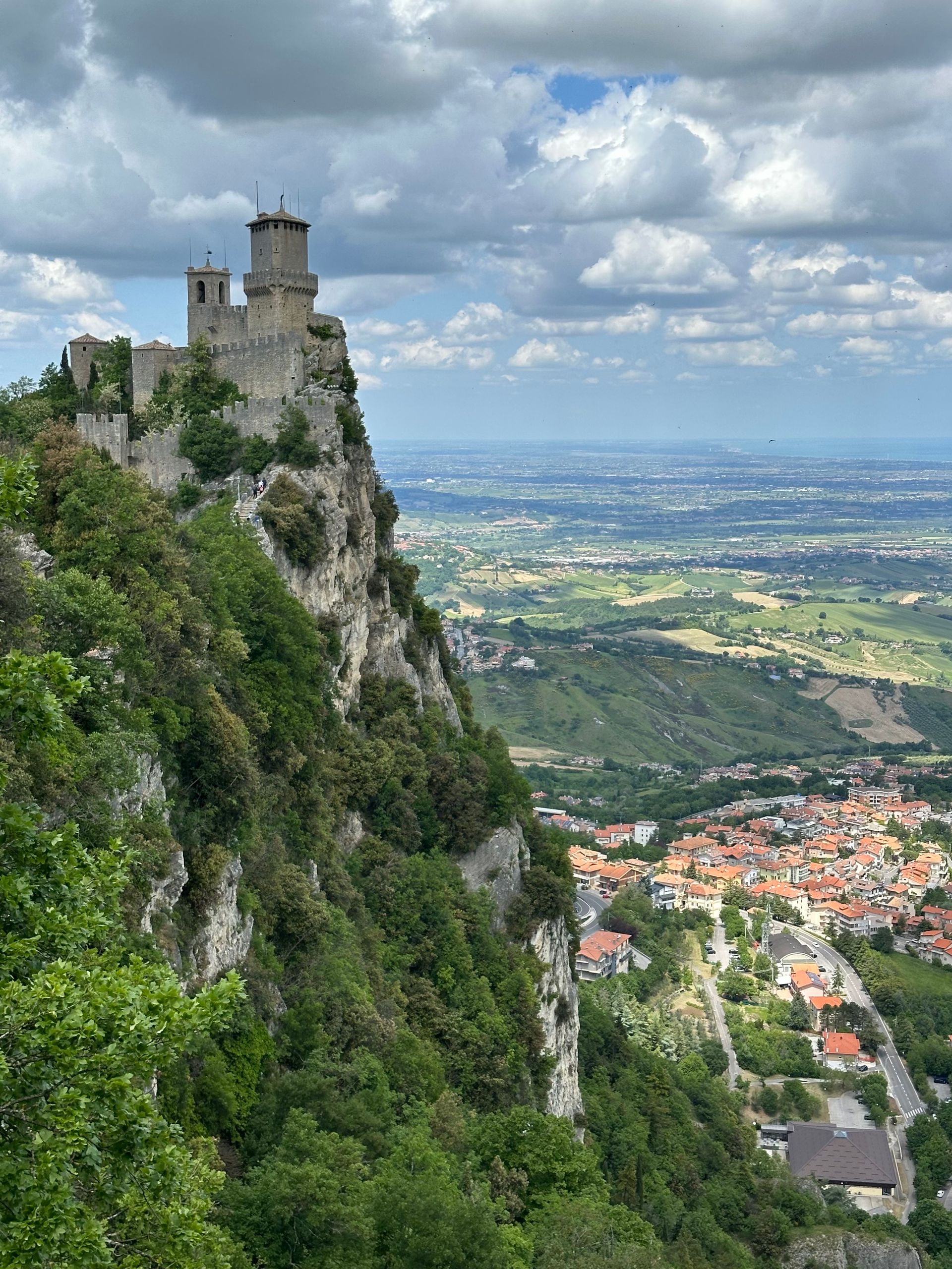
This article uses text information from the Wikipedia article – Guaita – [Wikipedia-Article-Link: https://en.wikipedia.org/wiki/Guaita ] which is released under the -- Creative Commons Attribution-ShareAlike 4.0 License – [License-Link: https://creativecommons.org/licenses/by-sa/4.0/deed.en ( https://en.wikipedia.org/wiki/Wikipedia:Text_of_the_Creative_Commons_Attribution-ShareAlike_4.0_International_License )] and additional terms may apply. [List of Principal Authors (5 or less) of the Wikipedia-Article on the date of this Article being Created in this Website: - ~2026-12976-31, Terragio67, FordJohnston45922, MishaPan, Grutness] [Use the following Authorship tool to find out the author contributions:- https://xtools.wmcloud.org/authorship ] [The Current Article on this Website has been paraphrased from the above linked corresponding Wikipedia-Article and You may redistribute this, verbatim or modified, provided that you comply with the terms of the Creative Commons Attribution-ShareAlike 4.0 License] [License-Link: https://creativecommons.org/licenses/by-sa/4.0/deed.en ( https://en.wikipedia.org/wiki/Wikipedia:Text_of_the_Creative_Commons_Attribution-ShareAlike_4.0_International_License )]
[Image: Breathtaking view of the Guaita Tower and surrounding landscape in San Marino; Image-Author: Sergei Gussev] [Image-Source-Link: https://www.pexels.com/photo/scenic-view-of-guaita-tower-in-san-marino-38017231/ ] [License-Link: https://www.pexels.com/license/ ] [Please Also Relate to Original Individual Text and Image URLs for More Usage Property and Sharing, Remixing or Attributing the Contents] [Contents on Wikipedia is covered by – Disclaimer – [Wikipedia-Disclaimer-Link: https://en.wikipedia.org/wiki/Wikipedia:General_disclaimer ] [Contents in this Website is also covered by Disclaimer linked at the bottom of the Page] [This website article means no intellectual appropriation by any way and only wishes to contribute in sharing of knowledge]
@Historical Events
24-Jun-2026 03 am
24-Jun-2026 03 am
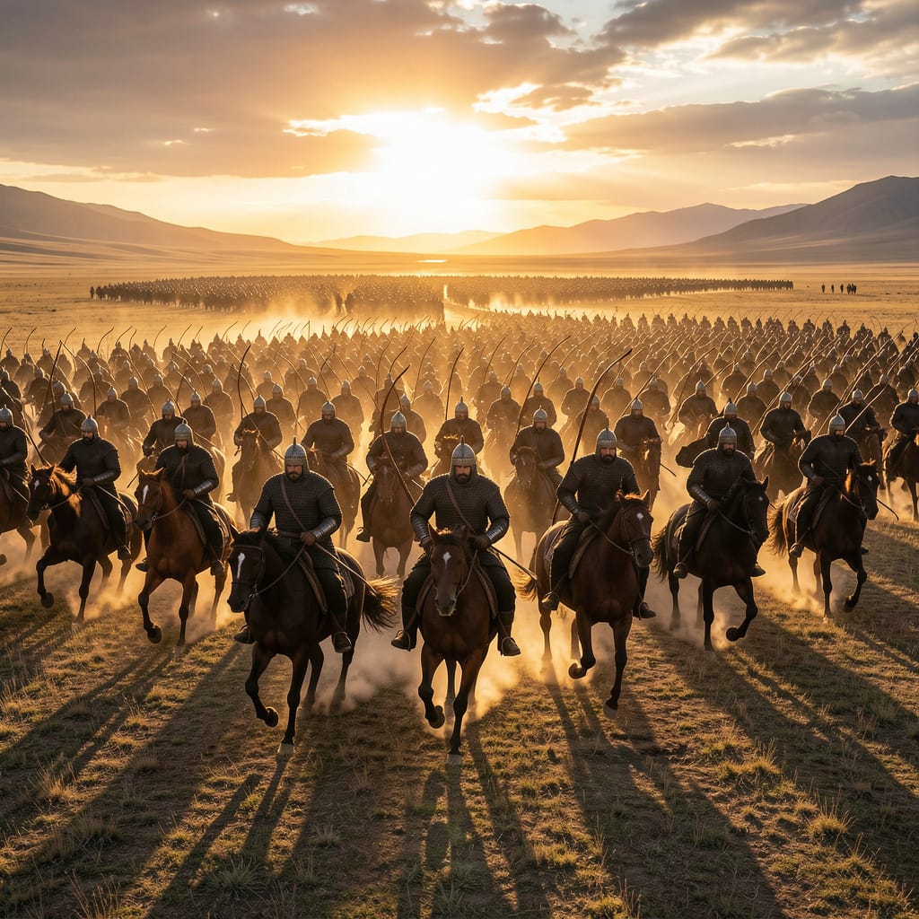
This article uses text information from the Wikipedia article – Battle_of_the_Defile – [Wikipedia-Article-Link: https://en.wikipedia.org/wiki/Battle_of_the_Defile ] which is released under the -- Creative Commons Attribution-ShareAlike 4.0 License – [License-Link: https://creativecommons.org/licenses/by-sa/4.0/deed.en ( https://en.wikipedia.org/wiki/Wikipedia:Text_of_the_Creative_Commons_Attribution-ShareAlike_4.0_International_License )] [List of Principal Authors (5 or less) of the Wikipedia-Article on the date of this Article being Created in this Website: - Cplakidas, IP that talk to R3YBOl, Gog the Mild, Ineffablebookkeeper, Dank] [Use the following Authorship tool to find out the author contributions:- https://xtools.wmcloud.org/authorship ] [The Current Article on this Website has been paraphrased from the above linked corresponding Wikipedia-Article and You may redistribute this, verbatim or modified, provided that you comply with the terms of the Creative Commons Attribution-ShareAlike 4.0 License] [License-Link: https://creativecommons.org/licenses/by-sa/4.0/deed.en ( https://en.wikipedia.org/wiki/Wikipedia:Text_of_the_Creative_Commons_Attribution-ShareAlike_4.0_International_License )]
[Image: AI generated art of Türgesh Army in Battle of the Defile] [Please Also Relate to Original Individual Text and/or Image URLs (if applicable) for More Usage Property and Sharing, Remixing or Attributing the Contents] [Contents on Wikipedia is covered by -- Disclaimer – [Wikipedia-Disclaimer-Link: https://en.wikipedia.org/wiki/Wikipedia:General_disclaimer ] [Contents in this Website is also covered by Disclaimer linked at the bottom of the Page] [This website article means no intellectual appropriation by any way and only wishes to contribute in sharing of knowledge]
@Heritage Places, Castles & Architecture
23-Jun-2026 04 am
23-Jun-2026 04 am
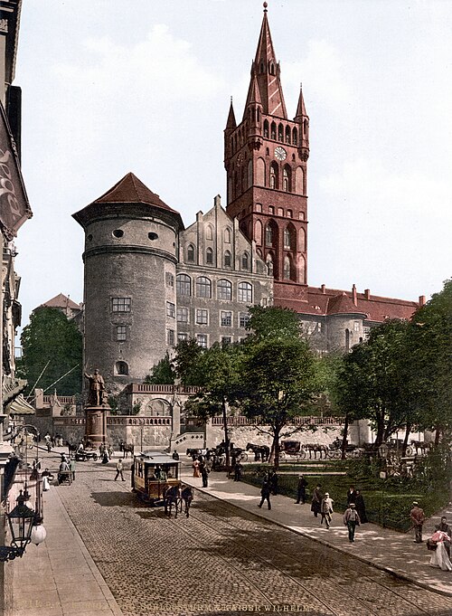
This article uses text information from the Wikipedia article – Königsberg_Castle – [Wikipedia-Article-Link: https://en.wikipedia.org/wiki/K%C3%B6nigsberg_Castle ] which is released under the -- Creative Commons Attribution-ShareAlike 4.0 License – [License-Link: https://creativecommons.org/licenses/by-sa/4.0/deed.en ( https://en.wikipedia.org/wiki/Wikipedia:Text_of_the_Creative_Commons_Attribution-ShareAlike_4.0_International_License )] and additional terms may apply. [List of Principal Authors (5 or less) of the Wikipedia-Article on the date of this Article being Created in this Website: - 2x2leax, GHStPaulMN, Bonthefox3, Olessi, WilliamH] [Use the following Authorship tool to find out the author contributions:- https://xtools.wmcloud.org/authorship ] [The Current Article on this Website has been paraphrased from the above linked corresponding Wikipedia-Article and You may redistribute this, verbatim or modified, provided that you comply with the terms of the Creative Commons Attribution-ShareAlike 4.0 License] [License-Link: https://creativecommons.org/licenses/by-sa/4.0/deed.en ( https://en.wikipedia.org/wiki/Wikipedia:Text_of_the_Creative_Commons_Attribution-ShareAlike_4.0_International_License )]
This article also uses an image from the Wikipedia article – Königsberg_Castle – [Wikipedia-Article-Link: https://en.wikipedia.org/wiki/K%C3%B6nigsberg_Castle ] [Image: Königsberger Schloss und Kaiser-Wilhelm-Denkmal in Königsberg (Preußen) (heute Kaliningrad, Russland) (Date: between 1894 and 1900); Wikipedia-Image-Author: Unknown author] [Wikipedia-Image-Link: https://en.wikipedia.org/wiki/File:K%C3%B6nigsberg_Castle.jpg ] [This work is from the Detroit Publishing Co. collection at the Library of Congress. According to the library, there are no known copyright restrictions on the use of this work. Most of the images in this collection were published before 1931 and are therefore in the public domain in the United States. A few images were published after this date and may be restricted by copyright. This work is in the public domain in the United States because it was published (or registered with the U.S. Copyright Office) before January 1, 1931. The author of this image from Switzerland is unknown, and the image was published at least 70 years ago. It is therefore in the public domain in Switzerland by virtue of Art. 31 of the Swiss Copyright Act.] [Please Also Relate to Original Individual Text and Image URLs for More Usage Property and Sharing, Remixing or Attributing the Contents] [Contents on Wikipedia is covered by – Disclaimer – Wikipedia-Disclaimer-Link: https://en.wikipedia.org/wiki/Wikipedia:General_disclaimer ] [Contents in this Website is also covered by Disclaimer linked at the bottom of the Page] [This website article means no intellectual appropriation by any way and only wishes to contribute in sharing of knowledge]
@Heritage Places, Castles & Architecture
22-Jun-2026 10 am
22-Jun-2026 10 am
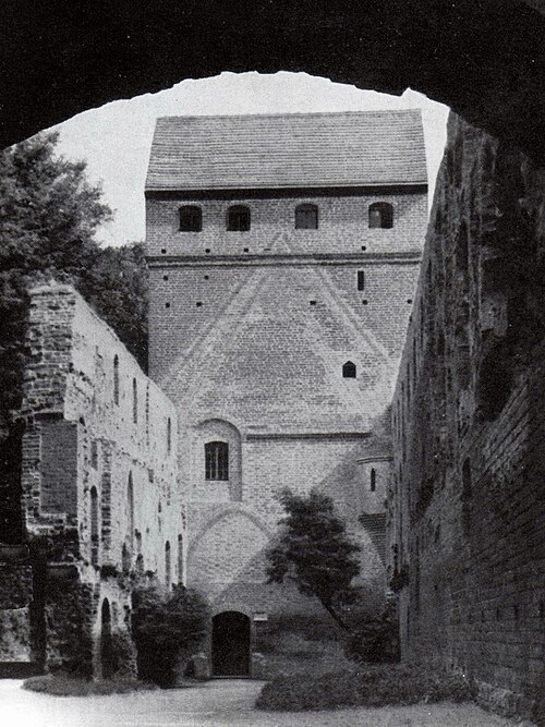
This article uses text information from the Wikipedia article – Balga – [Wikipedia-Article-Link: https://en.wikipedia.org/wiki/Balga ] which is released under the -- Creative Commons Attribution-ShareAlike 4.0 License – [License-Link: https://creativecommons.org/licenses/by-sa/4.0/deed.en ( https://en.wikipedia.org/wiki/Wikipedia:Text_of_the_Creative_Commons_Attribution-ShareAlike_4.0_International_License )] and additional terms may apply. [List of Principal Authors (5 or less) of the Wikipedia-Article on the date of this Article being Created in this Website: - Yungmemelord, 92.225.124.223, Olessi, Ilse birgen, Simon Brenner] [Use the following Authorship tool to find out the author contributions:- https://xtools.wmcloud.org/authorship ] [The Current Article on this Website has been paraphrased from the above linked corresponding Wikipedia-Article and You may redistribute this, verbatim or modified, provided that you comply with the terms of the Creative Commons Attribution-ShareAlike 4.0 License] [License-Link: https://creativecommons.org/licenses/by-sa/4.0/deed.en ( https://en.wikipedia.org/wiki/Wikipedia:Text_of_the_Creative_Commons_Attribution-ShareAlike_4.0_International_License )]
This article also uses an image from the Wikipedia article – Balga – [Wikipedia-Article-Link: https://en.wikipedia.org/wiki/Balga ] [Image: Die Burg Balga in den 30er Jahren (Balga ruins in their 1930s condition, before damage during World War II); Wikipedia-Image Author: Sendker] [Wikipedia-Image-Link: https://en.wikipedia.org/wiki/File:Balga3.jpg ] [This work is in the public domain in its country of origin and other countries and areas where the copyright term is the life of author plus 70 years or fewer. The work is also believed to be in the public domain in the United States as well.] [Please Also Relate to Original Individual Text and Image URLs for More Usage Property and Sharing, Remixing or Attributing the Contents]
[Contents on Wikipedia is covered by – Disclaimer – Wikipedia-Disclaimer-Link: https://en.wikipedia.org/wiki/Wikipedia:General_disclaimer ] [Contents in this Website is also covered by Disclaimer linked at the bottom of the Page] [This website article means no intellectual appropriation by any way and only wishes to contribute in sharing of knowledge]
@Heritage Places, Castles & Architecture
21-Jun-2026 05 am
21-Jun-2026 05 am
This article uses text information from the Wikipedia article – Ctesiphon – [Wikipedia-Article-Link: https://en.wikipedia.org/wiki/Ctesiphon ] which is released under the -- Creative Commons Attribution-ShareAlike 4.0 License – [License-Link: https://creativecommons.org/licenses/by-sa/4.0/deed.en ( https://en.wikipedia.org/wiki/Wikipedia:Text_of_the_Creative_Commons_Attribution-ShareAlike_4.0_International_License )] and additional terms may apply. [List of Principal Authors (5 or less) of the Wikipedia-Article on the date of this Article being Created in this Website: - HistoryofIran, Telementor, Ploversegg, ZxxZxxZ, Jsc1973] [Use the following Authorship tool to find out the author contributions:- https://xtools.wmcloud.org/authorship ] [The Current Article on this Website has been paraphrased from the above linked corresponding Wikipedia-Article and You may redistribute this, verbatim or modified, provided that you comply with the terms of the Creative Commons Attribution-ShareAlike 4.0 License] [License-Link: https://creativecommons.org/licenses/by-sa/4.0/deed.en ( https://en.wikipedia.org/wiki/Wikipedia:Text_of_the_Creative_Commons_Attribution-ShareAlike_4.0_International_License )]
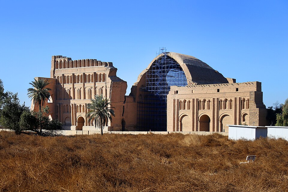
This article also uses an image from the Wikipedia article -- Sasanian_Empire -- [Wikipedia-Article-Link : https://en.wikipedia.org/wiki/Sasanian_Empire ] [Image : Taq Kasra, Madain, Iraq - February 2022 - Photo by: Safa Daneshva (Taq-i Kisra, the facade of the Sasanian palace in the capital Ctesiphon. The city developed into a rich commercial metropolis. It may have been the most populous city of the world in 570–622.); Wikipedia-Image-Author: Safa. Daneshvar https://commons.wikimedia.org/wiki/User:Safa.daneshvar ] [Wikipedia-Image-Link: https://en.wikipedia.org/wiki/File:001125-TaqKasra-Iraq-IMG_7914-2.jpg ] [Image Availed Under Creative Commons Attribution-Share Alike 4.0 International License;] [License-Link : https://creativecommons.org/licenses/by-sa/4.0/deed.en ] [You may copy, distribute and transmit the work (image) or share (alike) the work (image), provided that you comply with the terms of the Creative Commons Attribution-Share Alike 4.0 International or other compatible license as the original in distribution] [License-Link : https://creativecommons.org/licenses/by-sa/4.0/deed.en ] [Please Also Relate to Original Individual Text and Image URLs for More Usage Property and Sharing, Remixing or Attributing the Contents]
[Contents on Wikipedia is covered by -- Disclaimer -- [Wikipedia-Disclaimer-Link: https://en.wikipedia.org/wiki/Wikipedia:General_disclaimer ] [Contents in this Website is also covered by Disclaimer linked at the bottom of the Page] [This website article means no intellectual appropriation by any way and only wishes to contribute in sharing of knowledge]
@Heritage Places, Castles & Architecture
21-Jun-2026 03 am
21-Jun-2026 03 am
This article uses text information from the Wikipedia article – Kylemore_Abbey – [Wikipedia-Article-Link: https://en.wikipedia.org/wiki/Kylemore_Abbey ] which is released under the -- Creative Commons Attribution-ShareAlike 4.0 License – [License-Link: https://creativecommons.org/licenses/by-sa/4.0/deed.en ( https://en.wikipedia.org/wiki/Wikipedia:Text_of_the_Creative_Commons_Attribution-ShareAlike_4.0_International_License )] and additional terms may apply. [List of Principal Authors (5 or less) of the Wikipedia-Article on the date of this Article being Created in this Website: - Webwayz, Noel baran, Manannan67, Gahowe09, Shazice] [Use the following Authorship tool to find out the author contributions:- https://xtools.wmcloud.org/authorship ] [The Current Article on this Website has been paraphrased from the above linked corresponding Wikipedia-Article and You may redistribute this, verbatim or modified, provided that you comply with the terms of the Creative Commons Attribution-ShareAlike 4.0 License] [License-Link: https://creativecommons.org/licenses/by-sa/4.0/deed.en ( https://en.wikipedia.org/wiki/Wikipedia:Text_of_the_Creative_Commons_Attribution-ShareAlike_4.0_International_License )]
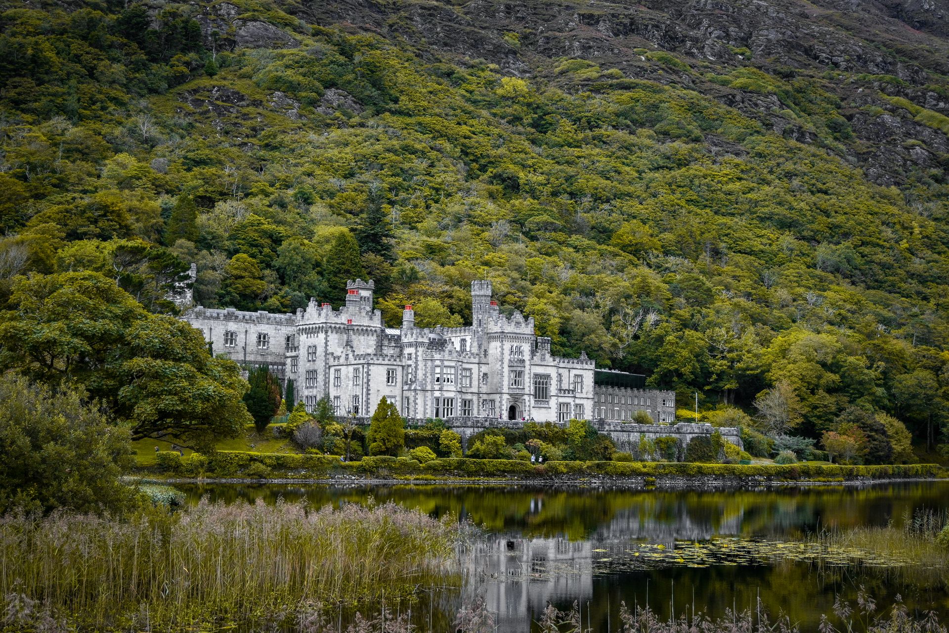
[Image: Scenic view of Kylemore Abbey and its reflection in a tranquil lake, Connemara, Ireland; Image-Author: Rick Johns] [Image-Source-Link: https://www.pexels.com/photo/kylemore-abbey-in-connemara-18549116/ ] [License-Link: https://www.pexels.com/license/ ] [Please Also Relate to Original Individual Text and Image URLs for More Usage Property and Sharing, Remixing or Attributing the Contents] [Contents on Wikipedia is covered by – Disclaimer – [Wikipedia-Disclaimer-Link: https://en.wikipedia.org/wiki/Wikipedia:General_disclaimer ] [Contents in this Website is also covered by Disclaimer linked at the bottom of the Page] [This website article means no intellectual appropriation by any way and only wishes to contribute in sharing of knowledge]
@Historical Events
20-Jun-2026 06 am
20-Jun-2026 06 am
#History This article uses text information from the Wikipedia article – Great_Turkish_War – [Wikipedia-Article-Link: https://en.wikipedia.org/wiki/Great_Turkish_War ] which is released under the -- Creative Commons Attribution-ShareAlike 4.0 License – [License-Link: https://creativecommons.org/licenses/by-sa/4.0/deed.en ( https://en.wikipedia.org/wiki/Wikipedia:Text_of_the_Creative_Commons_Attribution-ShareAlike_4.0_International_License )] and additional terms may apply. [List of Principal Authors (5 or less) of the Wikipedia-Article on the date of this Article being Created in this Website: - Wisielec. 97, Tobby72, Zoupan, Rjensen, SpanishHistorian] [Use the following Authorship tool to find out the author contributions:- https://xtools.wmcloud.org/authorship ] [The Current Article on this Website has been paraphrased from the above linked corresponding Wikipedia-Article and You may redistribute this, verbatim or modified, provided that you comply with the terms of the Creative Commons Attribution-ShareAlike 4.0 License] [License-Link: https://creativecommons.org/licenses/by-sa/4.0/deed.en ( https://en.wikipedia.org/wiki/Wikipedia:Text_of_the_Creative_Commons_Attribution-ShareAlike_4.0_International_License )]
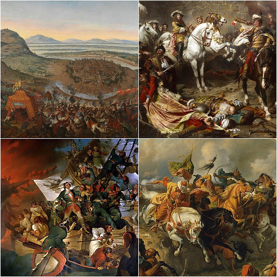
This article also uses an image from the Wikipedia article -- Great_Turkish_War -- [Wikipedia-Article-Link: https://en.wikipedia.org/wiki/Great_Turkish_War ] [Image: Great Turkish War Collage. From top left: The Battle of Vienna, the Siege of Buda, the Azov campaigns, the Battle of Zenta; Wikipedia-Image-Author: DavidDijkgraaf] [Wikipedia-Image-Link: https://en.wikipedia.org/wiki/File:Great_Turkish_War_Collage.jpg ] [This file is made available under the Creative Commons CC0 1.0 Universal Public Domain Dedication. The person who associated a work with this deed has dedicated the work to the public domain by waiving all of their rights to the work worldwide under copyright law, including all related and neighbouring rights, to the extent allowed by law. One can copy, modify, distribute and perform the work, even for commercial purposes, all without asking permission.] [License-Link: https://creativecommons.org/publicdomain/zero/1.0/deed.en ] [Please Also Relate to Original Individual Text and Image URLs for More Usage Property and Sharing, Remixing or Attributing the Contents]
[Contents on Wikipedia is covered by -- Disclaimer – Wikipedia-Disclaimer-Link: https://en.wikipedia.org/wiki/Wikipedia:General_disclaimer ] [Contents in this Website is also covered by Disclaimer linked at the bottom of the Page] [This website article means no intellectual appropriation by any way and only wishes to contribute in sharing of knowledge]
@Heritage Places, Castles & Architecture
18-Jun-2026 06 am
18-Jun-2026 06 am
This article uses text information from the Wikipedia article – Aarburg_Castle – [Wikipedia-Article-Link: https://en.wikipedia.org/wiki/Aarburg_Castle ] which is released under the -- Creative Commons Attribution-ShareAlike 4.0 License – [License-Link: https://creativecommons.org/licenses/by-sa/4.0/deed.en ( https://en.wikipedia.org/wiki/Wikipedia:Text_of_the_Creative_Commons_Attribution-ShareAlike_4.0_International_License )] and additional terms may apply. [List of Principal Authors (5 or less) of the Wikipedia-Article on the date of this Article being Created in this Website: - Tobyc75, InternetArchiveBot, AnomieBOT, GreenC bot, SimLibrarian] [Use the following Authorship tool to find out the author contributions:- https://xtools.wmcloud.org/authorship ] [The Current Article on this Website has been paraphrased from the above linked corresponding Wikipedia-Article and You may redistribute this, verbatim or modified, provided that you comply with the terms of the Creative Commons Attribution-ShareAlike 4.0 License] [License-Link: https://creativecommons.org/licenses/by-sa/4.0/deed.en ( https://en.wikipedia.org/wiki/Wikipedia:Text_of_the_Creative_Commons_Attribution-ShareAlike_4.0_International_License )]
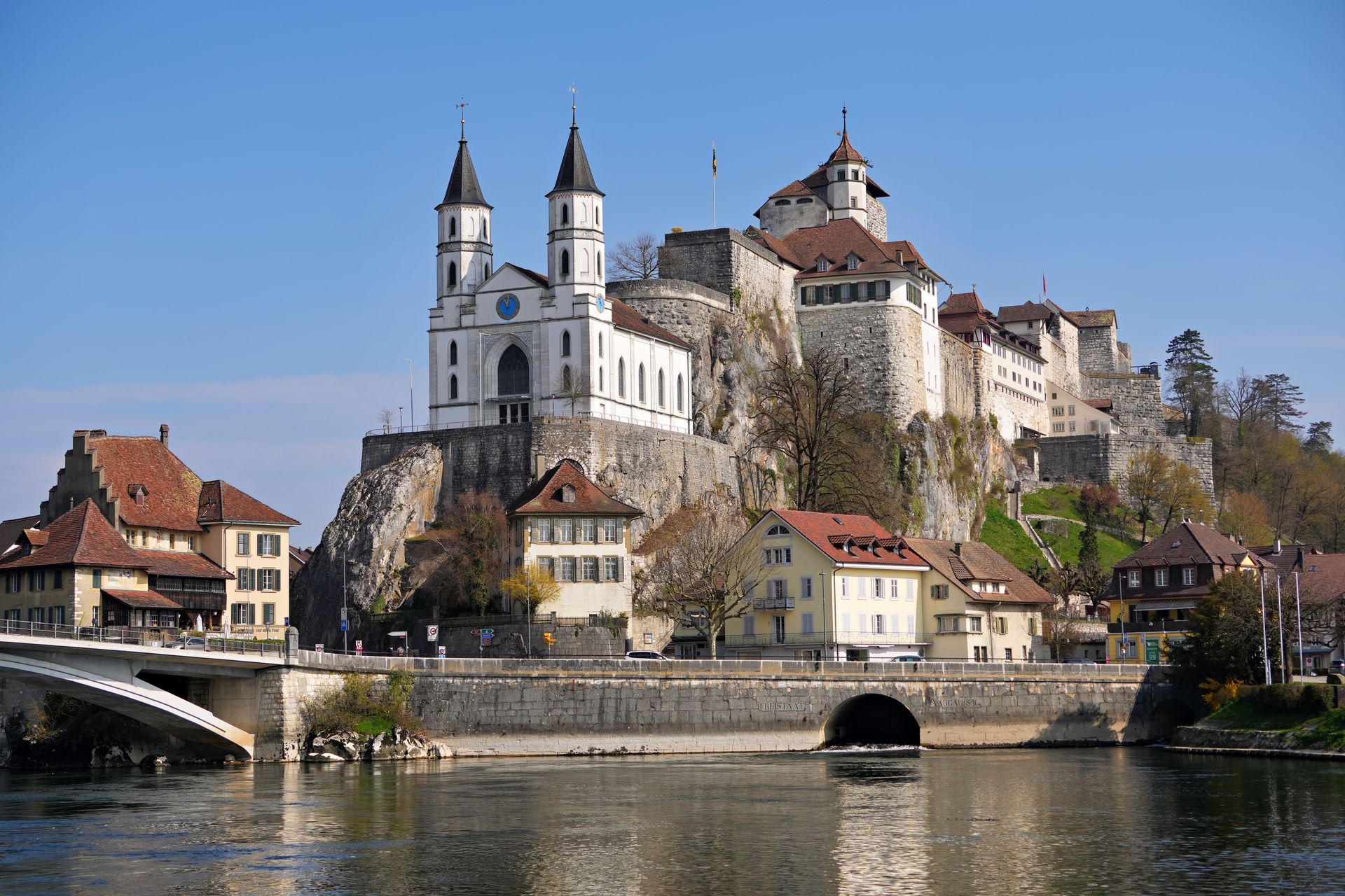
[Image: Aarburg Castle overlooking the Aare River, surrounded by historic buildings under a clear blue sky; Image-Author: Beat Bieri] [Image-Source-Link: https://www.pexels.com/photo/aarburg-castle-with-scenic-riverside-view-36674455/ ] [License-Link: https://www.pexels.com/license/ ] [Please Also Relate to Original Individual Text and Image URLs for More Usage Property and Sharing, Remixing or Attributing the Contents] [Contents on Wikipedia is covered by – Disclaimer – [Wikipedia-Disclaimer-Link : https://en.wikipedia.org/wiki/Wikipedia:General_disclaimer ] [Contents in this Website is also covered by Disclaimer linked at the bottom of the Page] [This website article means no intellectual appropriation by any way and only wishes to contribute in sharing of knowledge]
@Mythology, Legends, Folklore and Mysterious Things
18-Jun-2026 03 am
18-Jun-2026 03 am
This article uses text information from the Wikipedia article – Holmgang – [Wikipedia-Article-Link: https://en.wikipedia.org/wiki/Holmgang ] which is released under the -- Creative Commons Attribution-ShareAlike 4.0 License – [License-Link: https://creativecommons.org/licenses/by-sa/4.0/deed.en ( https://en.wikipedia.org/wiki/Wikipedia:Text_of_the_Creative_Commons_Attribution-ShareAlike_4.0_International_License )] and additional terms may apply. [List of Principal Authors (5 or less) of the Wikipedia-Article on the date of this Article being Created in this Website: - Skysmith, Berig, Anthropologeethanks, Rsradford, Adam keller] [Use the following Authorship tool to find out the author contributions:- https://xtools.wmcloud.org/authorship ] [The Current Article on this Website has been paraphrased from the above linked corresponding Wikipedia-Article and You may redistribute this, verbatim or modified, provided that you comply with the terms of the Creative Commons Attribution-ShareAlike 4.0 License] [License-Link: https://creativecommons.org/licenses/by-sa/4.0/deed.en ( https://en.wikipedia.org/wiki/Wikipedia:Text_of_the_Creative_Commons_Attribution-ShareAlike_4.0_International_License )]
This article also uses an image from the Wikipedia article – Holmgang – [Wikipedia-Article-Link: https://en.wikipedia.org/wiki/Holmgang ] [Image: Egill Skallagrímsson engaging in holmgang with Berg-Önundr by Johannes Flintoe (1787–1870)] [Wikipedia-Image-Link: https://en.wikipedia.org/wiki/File:Johannes-flintoe-egil-skallarimsson.jpg ] [This work is in the public domain in its country of origin and other countries and areas where the copyright term is the life of author plus 100 years or fewer. The work is also believed to be in the public domain in the United States as well.] [Please Also Relate to Original Individual Text and Image URLs for More Usage Property and Sharing, Remixing or Attributing the Contents]
[Contents on Wikipedia is covered by – Disclaimer – Wikipedia-Disclaimer-Link: https://en.wikipedia.org/wiki/Wikipedia:General_disclaimer ] [Contents in this Website is also covered by Disclaimer linked at the bottom of the Page] [This website article means no intellectual appropriation by any way and only wishes to contribute in sharing of knowledge]
@Heritage Places, Castles & Architecture
15-Jun-2026 09 pm
15-Jun-2026 09 pm
This article uses text information from the Wikipedia article – Ellora_Caves – [Wikipedia-Article-Link: https://en.wikipedia.org/wiki/Ellora_Caves ] which is released under the -- Creative Commons Attribution-ShareAlike 4.0 License – [License-Link: https://creativecommons.org/licenses/by-sa/4.0/deed.en ( https://en.wikipedia.org/wiki/Wikipedia:Text_of_the_Creative_Commons_Attribution-ShareAlike_4.0_International_License )] and additional terms may apply. [List of Principal Authors (5 or less) of the Wikipedia-Article on the date of this Article being Created in this Website: - Ms Sarah Welch, Blackmane, Joy1963, Malaiya, InternetArchiveBot] [Use the following Authorship tool to find out the author contributions:- https://xtools.wmcloud.org/authorship ] [The Current Article on this Website has been paraphrased from the above linked corresponding Wikipedia-Article and You may redistribute this, verbatim or modified, provided that you comply with the terms of the Creative Commons Attribution-ShareAlike 4.0 License] [License-Link: https://creativecommons.org/licenses/by-sa/4.0/deed.en ( https://en.wikipedia.org/wiki/Wikipedia:Text_of_the_Creative_Commons_Attribution-ShareAlike_4.0_International_License )]
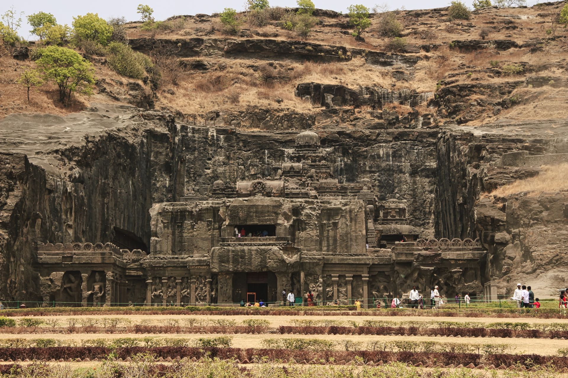
[Image: Explore the majestic Ellora Caves, a UNESCO World Heritage Site in Maharashtra, India; Image-Author: Setu Chhaya] [Image-Source-Link: https://www.pexels.com/photo/nature-art-landmark-construction-9455189/ ] [License-Link: https://www.pexels.com/license/ ] [Please Also Relate to Original Individual Text and Image URLs for More Usage Property and Sharing, Remixing or Attributing the Contents] [Contents on Wikipedia is covered by – Disclaimer – [Wikipedia-Disclaimer-Link : https://en.wikipedia.org/wiki/Wikipedia:General_disclaimer ] [Contents in this Website is also covered by Disclaimer linked at the bottom of the Page] [This website article means no intellectual appropriation by any way and only wishes to contribute in sharing of knowledge]
@Mythology, Legends, Folklore and Mysterious Things
14-Jun-2026 07 am
14-Jun-2026 07 am
This article uses text information from the Wikipedia article – Svafrlami – [Wikipedia-Article-Link: https://en.wikipedia.org/wiki/Svafrlami ] which is released under the -- Creative Commons Attribution-ShareAlike 4.0 License – [License-Link: https://creativecommons.org/licenses/by-sa/4.0/deed.en ( https://en.wikipedia.org/wiki/Wikipedia:Text_of_the_Creative_Commons_Attribution-ShareAlike_4.0_International_License )] and additional terms may apply. [List of Principal Authors (5 or less) of the Wikipedia-Article on the date of this Article being Created in this Website: - Wiglaf, Berig, Gilgamesh~enwiki, Dimadick, Я сошла с ума] [Use the following Authorship tool to find out the author contributions:- https://xtools.wmcloud.org/authorship ] [The Current Article on this Website has been paraphrased from the above linked corresponding Wikipedia-Article and You may redistribute this, verbatim or modified, provided that you comply with the terms of the Creative Commons Attribution-ShareAlike 4.0 License] [License-Link: https://creativecommons.org/licenses/by-sa/4.0/deed.en ( https://en.wikipedia.org/wiki/Wikipedia:Text_of_the_Creative_Commons_Attribution-ShareAlike_4.0_International_License )]
This article also uses an image from the Wikipedia article – Svafrlami – [Wikipedia-Article-Link: https://en.wikipedia.org/wiki/Svafrlami ] [Image: Svafrlami and the Dwarves. Artwork by Jenny Nyström (1854–1946), 1895.] [Wikipedia-Image-Link: https://en.wikipedia.org/wiki/File:Svafrlami_and_the_dwarves.jpg ] [This file (Image) is in the public domain because it is a mere mechanical scan or photocopy of a public domain original, or – from the available evidence – is so similar to such a scan or photocopy that no copyright protection can be expected to arise. The author died in 1946, so this work is in the public domain in its country of origin and other countries and areas where the copyright term is the life of author plus 75 years or fewer. This work is in the public domain in the United States because it was published (or registered with the U.S. Copyright Office) before January 1, 1931.] [Please Also Relate to Original Individual Text and Image URLs for More Usage Property and Sharing, Remixing or Attributing the Contents]
[Contents on Wikipedia is covered by – Disclaimer – Wikipedia-Disclaimer-Link: https://en.wikipedia.org/wiki/Wikipedia:General_disclaimer ] [Contents in this Website is also covered by Disclaimer linked at the bottom of the Page] [This website article means no intellectual appropriation by any way and only wishes to contribute in sharing of knowledge]
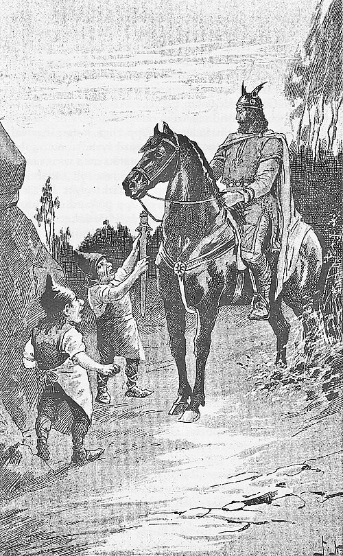
@Mythology, Legends, Folklore and Mysterious Things
13-Jun-2026 07 am
13-Jun-2026 07 am
This article uses text information from the Wikipedia article – Hervarar_saga_ok_Heiðreks – [Wikipedia-Article-Link: https://en.wikipedia.org/wiki/Hervarar_saga_ok_Hei%C3%B0reks ] which is released under the -- Creative Commons Attribution-ShareAlike 4.0 License – [License-Link: https://creativecommons.org/licenses/by-sa/4.0/deed.en ( https://en.wikipedia.org/wiki/Wikipedia:Text_of_the_Creative_Commons_Attribution-ShareAlike_4.0_International_License )] and additional terms may apply. [List of Principal Authors (5 or less) of the Wikipedia-Article on the date of this Article being Created in this Website: - Xoool, Alarichall, 5.198.10.236, Wiglaf, Berig] [Use the following Authorship tool to find out the author contributions:- https://xtools.wmcloud.org/authorship ] [The Current Article on this Website has been paraphrased from the above linked corresponding Wikipedia-Article and You may redistribute this, verbatim or modified, provided that you comply with the terms of the Creative Commons Attribution-ShareAlike 4.0 License] [License-Link: https://creativecommons.org/licenses/by-sa/4.0/deed.en ( https://en.wikipedia.org/wiki/Wikipedia:Text_of_the_Creative_Commons_Attribution-ShareAlike_4.0_International_License )]
This article also uses an image from the Wikipedia article – Hervarar_saga_ok_Heiðreks – [Wikipedia-Article-Link: https://en.wikipedia.org/wiki/Hervarar_saga_ok_Hei%C3%B0reks ] [Image: Gizur challenging the Huns according to the Hlöðskviða (Hunnenschlachtlied). Painting by Peter Nicolai Arbo 1886.] [Wikipedia-Image-Link: https://en.wikipedia.org/wiki/File:Peter_Nicolai_Arbo_%E2%80%93_Gizur_challenges_the_Huns.png ] [This work (Image) is faithful photographic reproduction of a two-dimensional, public domain work of art. The author died in 1892, so this work is in the public domain in its country of origin and other countries and areas where the copyright term is the life of author plus 100 years or fewer. This work is in the public domain in the United States because it was published (or registered with the U.S. Copyright Office) before January 1, 1931.] [Please Also Relate to Original Individual Text and Image URLs for More Usage Property and Sharing, Remixing or Attributing the Contents]
[Contents on Wikipedia is covered by – Disclaimer – Wikipedia-Disclaimer-Link: https://en.wikipedia.org/wiki/Wikipedia:General_disclaimer ] [Contents in this Website is also covered by Disclaimer linked at the bottom of the Page] [This website article means no intellectual appropriation by any way and only wishes to contribute in sharing of knowledge]
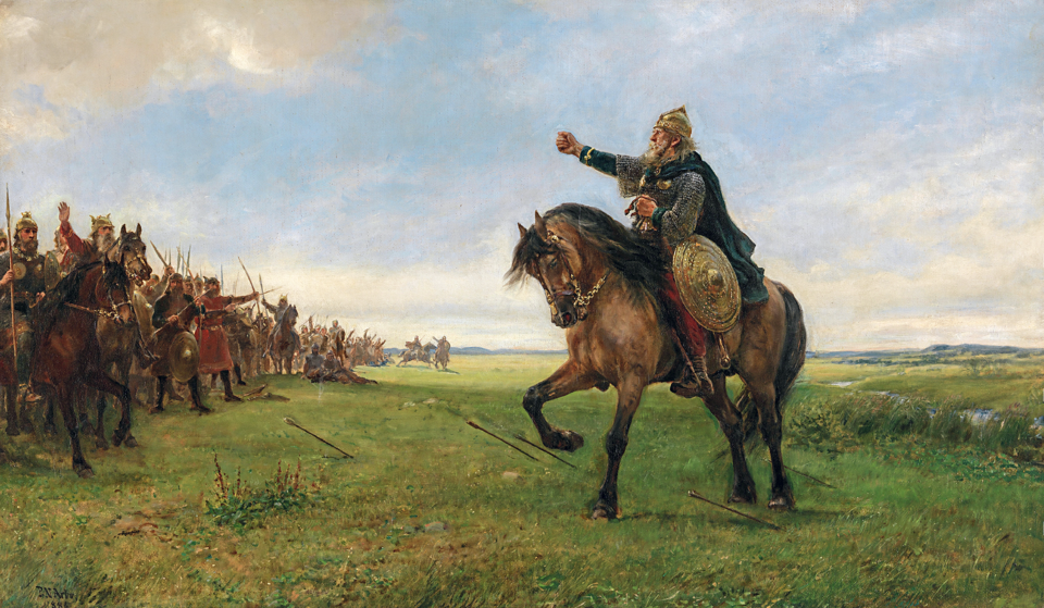
@Mythology, Legends, Folklore and Mysterious Things
12-Jun-2026 07 am
12-Jun-2026 07 am
This article uses text information from the Wikipedia article – Brunhild – [Wikipedia-Article-Link: https://en.wikipedia.org/wiki/Brunhild ] which is released under the -- Creative Commons Attribution-ShareAlike 4.0 License – [License-Link: https://creativecommons.org/licenses/by-sa/4.0/deed.en ( https://en.wikipedia.org/wiki/Wikipedia:Text_of_the_Creative_Commons_Attribution-ShareAlike_4.0_International_License )] and additional terms may apply. [List of Principal Authors (5 or less) of the Wikipedia-Article on the date of this Article being Created in this Website: - Ermenrich, Pfold, Salleman, OwenBlacker, Helpfulwikieditoryay] [Use the following Authorship tool to find out the author contributions:- https://xtools.wmcloud.org/authorship ] [The Current Article on this Website has been paraphrased from the above linked corresponding Wikipedia-Article and You may redistribute this, verbatim or modified, provided that you comply with the terms of the Creative Commons Attribution-ShareAlike 4.0 License] [License-Link: https://creativecommons.org/licenses/by-sa/4.0/deed.en ( https://en.wikipedia.org/wiki/Wikipedia:Text_of_the_Creative_Commons_Attribution-ShareAlike_4.0_International_License )]
This article also uses an image from the Wikipedia article – Richard_Wagner – [Wikipedia-Article-Link: https://en.wikipedia.org/wiki/Richard_Wagner ] [Image: Brünnhilde the Valkyrie (1910, Illustration to Die Walküre by Richard Wagner) by Arthur Rackham (1867–1939)] [Wikipedia-Image-Link: https://en.wikipedia.org/wiki/File:Ring22.jpg ] [This work (Image) is faithful photographic reproduction of a two-dimensional, public domain work of art. The author died in 1939, so this work is in the public domain in its country of origin and other countries and areas where the copyright term is the life of author plus 80 years or fewer. This work is in the public domain in the United States because it was published (or registered with the U.S. Copyright Office) before January 1, 1931.] [Please Also Relate to Original Individual Text and Image URLs for More Usage Property and Sharing, Remixing or Attributing the Contents]
[Contents on Wikipedia is covered by – Disclaimer – Wikipedia-Disclaimer-Link: https://en.wikipedia.org/wiki/Wikipedia:General_disclaimer ] [Contents in this Website is also covered by Disclaimer linked at the bottom of the Page] [This website article means no intellectual appropriation by any way and only wishes to contribute in sharing of knowledge]
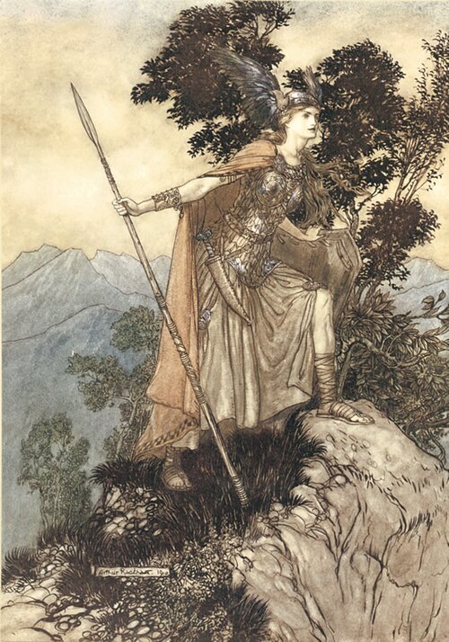
@Historical Events
12-Jun-2026 01 am
12-Jun-2026 01 am
This article uses text information from the Wikipedia article – Roxana – [Wikipedia-Article-Link: https://en.wikipedia.org/wiki/Roxana ] which is released under the -- Creative Commons Attribution-ShareAlike 4.0 License – [License-Link: https://creativecommons.org/licenses/by-sa/4.0/deed.en ( https://en.wikipedia.org/wiki/Wikipedia:Text_of_the_Creative_Commons_Attribution-ShareAlike_4.0_International_License )] and additional terms may apply. [List of Principal Authors (5 or less) of the Wikipedia-Article on the date of this Article being Created in this Website: - Paradise Chronicle, HistoryofIran, Lk. mer, Sobek2000, Russian Rocky] [Use the following Authorship tool to find out the author contributions:- https://xtools.wmcloud.org/authorship ] [The Current Article on this Website has been paraphrased from the above linked corresponding Wikipedia-Article and You may redistribute this, verbatim or modified, provided that you comply with the terms of the Creative Commons Attribution-ShareAlike 4.0 License] [License-Link: https://creativecommons.org/licenses/by-sa/4.0/deed.en ( https://en.wikipedia.org/wiki/Wikipedia:Text_of_the_Creative_Commons_Attribution-ShareAlike_4.0_International_License )]
This article also uses an image from the Wikipedia article – Roxana – [Wikipedia-Article-Link: https://en.wikipedia.org/wiki/Roxana ] [Image: Alexander old drawings; Ceremony of the betrothal of Alexander the Great & Roxana; an engraving by André Castaigne.] [Wikipedia-Image-Link: https://en.wikipedia.org/wiki/File:The_wedding_of_Alexander_and_Roxane_by_Andre_Castaigne_(1898-1899).jpg ] [This work (Image) is faithful photographic reproduction of a two-dimensional, public domain work of art. This work is in the public domain in its country of origin and other countries and areas where the copyright term is the life of author plus 70 years or fewer. The work is also believed to be in the public domain in the United States as well.] [Please Also Relate to Original Individual Text and Image URLs for More Usage Property and Sharing, Remixing or Attributing the Contents]
[Contents on Wikipedia is covered by – Disclaimer – Wikipedia-Disclaimer-Link: https://en.wikipedia.org/wiki/Wikipedia:General_disclaimer ] [Contents in this Website is also covered by Disclaimer linked at the bottom of the Page] [This website article means no intellectual appropriation by any way and only wishes to contribute in sharing of knowledge]
.jpg)
@Historical Events
10-Jun-2026 06 am
10-Jun-2026 06 am
This article uses text information from the Wikipedia article – Battle_of_Zenta – [Wikipedia-Article-Link: https://en.wikipedia.org/wiki/Battle_of_Zenta ] which is released under the -- Creative Commons Attribution-ShareAlike 4.0 License – [License-Link: https://creativecommons.org/licenses/by-sa/4.0/deed.en ( https://en.wikipedia.org/wiki/Wikipedia:Text_of_the_Creative_Commons_Attribution-ShareAlike_4.0_International_License )] and additional terms may apply. [List of Principal Authors (5 or less) of the Wikipedia-Article on the date of this Article being Created in this Website: - Aeengath, Fdewaele, Carl Logan, Tfine80, WikiEditor2004] [Use the following Authorship tool to find out the author contributions:- https://xtools.wmcloud.org/authorship ] [The Current Article on this Website has been paraphrased from the above linked corresponding Wikipedia-Article and You may redistribute this, verbatim or modified, provided that you comply with the terms of the Creative Commons Attribution-ShareAlike 4.0 License] [License-Link: https://creativecommons.org/licenses/by-sa/4.0/deed.en ( https://en.wikipedia.org/wiki/Wikipedia:Text_of_the_Creative_Commons_Attribution-ShareAlike_4.0_International_License )]
This article also uses an image from the Wikipedia article – Battle_of_Zenta – [Wikipedia-Article-Link: https://en.wikipedia.org/wiki/Battle_of_Zenta ] [Image: A View & Representation of ye Battle of Zenta (1 January 1735) by George Bickham the Younger] [Wikipedia-Image-Link: https://en.wikipedia.org/wiki/File:A_View_%26_Representation_of_ye_Battle_of_Zenta.jpg ] [This work is in the public domain in its country of origin and other countries and areas where the copyright term is the life of author plus 70 years or fewer. This work is in the public domain in the United States because it was published (or registered with the U.S. Copyright Office) before January 1, 1931.] [Please Also Relate to Original Individual Text and Image URLs for More Usage Property and Sharing, Remixing or Attributing the Contents]
[Contents on Wikipedia is covered by – Disclaimer – Wikipedia-Disclaimer-Link: https://en.wikipedia.org/wiki/Wikipedia:General_disclaimer ] [Contents in this Website is also covered by Disclaimer linked at the bottom of the Page] [This website article means no intellectual appropriation by any way and only wishes to contribute in sharing of knowledge]
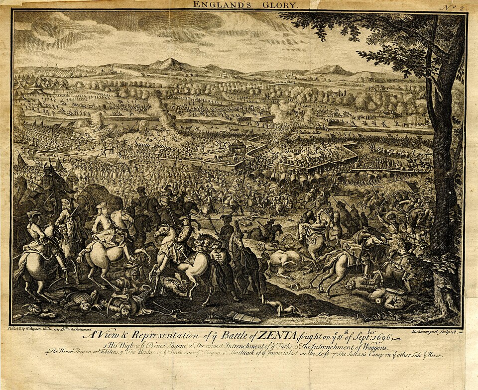
@Mythology, Legends, Folklore and Mysterious Things
09-Jun-2026 10 pm
09-Jun-2026 10 pm
This article uses text information from the Wikipedia article – Nisse_(folklore) – [Wikipedia-Article-Link: https://en.wikipedia.org/wiki/Nisse_(folklore) ] which is released under the -- Creative Commons Attribution-ShareAlike 4.0 License – [License-Link: https://creativecommons.org/licenses/by-sa/4.0/deed.en ( https://en.wikipedia.org/wiki/Wikipedia:Text_of_the_Creative_Commons_Attribution-ShareAlike_4.0_International_License )] and additional terms may apply. [List of Principal Authors (5 or less) of the Wikipedia-Article on the date of this Article being Created in this Website: - Kiyoweap, Salleman, InternetArchiveBot, MattJasonBrown, Juvrud] [Use the following Authorship tool to find out the author contributions:- https://xtools.wmcloud.org/authorship ] [The Current Article on this Website has been paraphrased from the above linked corresponding Wikipedia-Article and You may redistribute this, verbatim or modified, provided that you comply with the terms of the Creative Commons Attribution-ShareAlike 4.0 License] [License-Link: https://creativecommons.org/licenses/by-sa/4.0/deed.en ( https://en.wikipedia.org/wiki/Wikipedia:Text_of_the_Creative_Commons_Attribution-ShareAlike_4.0_International_License )]
This article also uses an image from the Wikipedia article – Nisse_(folklore) – [Wikipedia-Article-Link: https://en.wikipedia.org/wiki/Nisse_(folklore) ] [Image: Engraving by Andreas Flinch based on a drawing of a – nisse -- by Danish artist Johan Thomas Lundbye, published in Flinchs Almanak 1842. Author: Johan Thomas Lundbye (1818-1848) Andreas Flinch (1813-1878)] [Wikipedia-Image-Link: https://en.wikipedia.org/wiki/File:Lundby_nissen_1842.jpg ] [This work is in the public domain in its country of origin and other countries and areas where the copyright term is the life of author plus 100 years or fewer. This work is also believed to be in the public domain in the United States.] [Please Also Relate to Original Individual Text and Image URLs for More Usage Property and Sharing, Remixing or Attributing the Contents]
[Contents on Wikipedia is covered by – Disclaimer – Wikipedia-Disclaimer-Link: https://en.wikipedia.org/wiki/Wikipedia:General_disclaimer ] [Contents in this Website is also covered by Disclaimer linked at the bottom of the Page] [This website article means no intellectual appropriation by any way and only wishes to contribute in sharing of knowledge]
@Mythology, Legends, Folklore and Mysterious Things
09-Jun-2026 08 pm
09-Jun-2026 08 pm
This article uses text information from the Wikipedia article – Battle_of_Camlann – [Wikipedia-Article-Link: https://en.wikipedia.org/wiki/Battle_of_Camlann ] which is released under the -- Creative Commons Attribution-ShareAlike 4.0 License – [License-Link: https://creativecommons.org/licenses/by-sa/4.0/deed.en ( https://en.wikipedia.org/wiki/Wikipedia:Text_of_the_Creative_Commons_Attribution-ShareAlike_4.0_International_License )] [List of Principal Authors (5 or less) of the Wikipedia-Article on the date of this Article being Created in this Website: - SNAAAAKE!!, Cuchullain, Cagwinn, InternetArchiveBot, Dudley Miles] [Use the following Authorship tool to find out the author contributions:- https://xtools.wmcloud.org/authorship ] [The Current Article on this Website has been paraphrased from the above linked corresponding Wikipedia-Article and You may redistribute this, verbatim or modified, provided that you comply with the terms of the Creative Commons Attribution-ShareAlike 4.0 License] [License-Link: https://creativecommons.org/licenses/by-sa/4.0/deed.en ( https://en.wikipedia.org/wiki/Wikipedia:Text_of_the_Creative_Commons_Attribution-ShareAlike_4.0_International_License )]
This article also uses an image from the Wikipedia article – Battle_of_Camlann – [Wikipedia-Article-Link: https://en.wikipedia.org/wiki/Battle_of_Camlann ] [Image: The Battle Between King Arthur and Sir Mordred by William Hatherell (1855–1928)] [Wikipedia-Image-Link: https://en.wikipedia.org/wiki/File:Battle_Between_King_Arthur_and_Sir_Mordred_-_William_Hatherell.jpg ] [This work (Image) is faithful photographic reproduction of a two-dimensional, public domain work of art. The author died in 1928, so this work is in the public domain in its country of origin and other countries and areas where the copyright term is the life of author plus 95 years or fewer. This work is in the public domain in the United States because it was published (or registered with the U.S. Copyright Office) before January 1, 1931. ] [Please Also Relate to Original Individual Text and Image URLs for More Usage Property and Sharing, Remixing or Attributing the Contents]
[Contents on Wikipedia is covered by – Disclaimer – Wikipedia-Disclaimer-Link: https://en.wikipedia.org/wiki/Wikipedia:General_disclaimer ] [Contents in this Website is also covered by Disclaimer linked at the bottom of the Page] [This website article means no intellectual appropriation by any way and only wishes to contribute in sharing of knowledge]
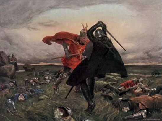
@Historical Events
07-Jun-2026 11 pm
07-Jun-2026 11 pm
This article uses text information from the Wikipedia article – Day_of_Thirst – [Wikipedia-Article-Link: https://en.wikipedia.org/wiki/Day_of_Thirst ] which is released under the -- Creative Commons Attribution-ShareAlike 4.0 License – [License-Link: https://creativecommons.org/licenses/by-sa/4.0/deed.en ( https://en.wikipedia.org/wiki/Wikipedia:Text_of_the_Creative_Commons_Attribution-ShareAlike_4.0_International_License )] [List of Principal Authors (5 or less) of the Wikipedia-Article on the date of this Article being Created in this Website: - Cplakidas, Millelacs, BEFOR01, 2409:4054:95:E551:ED1B:EF3A:35C9:F3F4, Anonymous Agent] [Use the following Authorship tool to find out the author contributions:- https://xtools.wmcloud.org/authorship ] [The Current Article on this Website has been paraphrased from the above linked corresponding Wikipedia-Article and You may redistribute this, verbatim or modified, provided that you comply with the terms of the Creative Commons Attribution-ShareAlike 4.0 License] [License-Link: https://creativecommons.org/licenses/by-sa/4.0/deed.en ( https://en.wikipedia.org/wiki/Wikipedia:Text_of_the_Creative_Commons_Attribution-ShareAlike_4.0_International_License )]
[Image: AI generated art of Türgesh Horse-Archers in Day of Thirst] [Please Also Relate to Original Individual Text and/or Image URLs (if applicable) for More Usage Property and Sharing, Remixing or Attributing the Contents] [Contents on Wikipedia is covered by -- Disclaimer – [Wikipedia-Disclaimer-Link: https://en.wikipedia.org/wiki/Wikipedia:General_disclaimer ] [Contents in this Website is also covered by Disclaimer linked at the bottom of the Page] [This website article means no intellectual appropriation by any way and only wishes to contribute in sharing of knowledge]
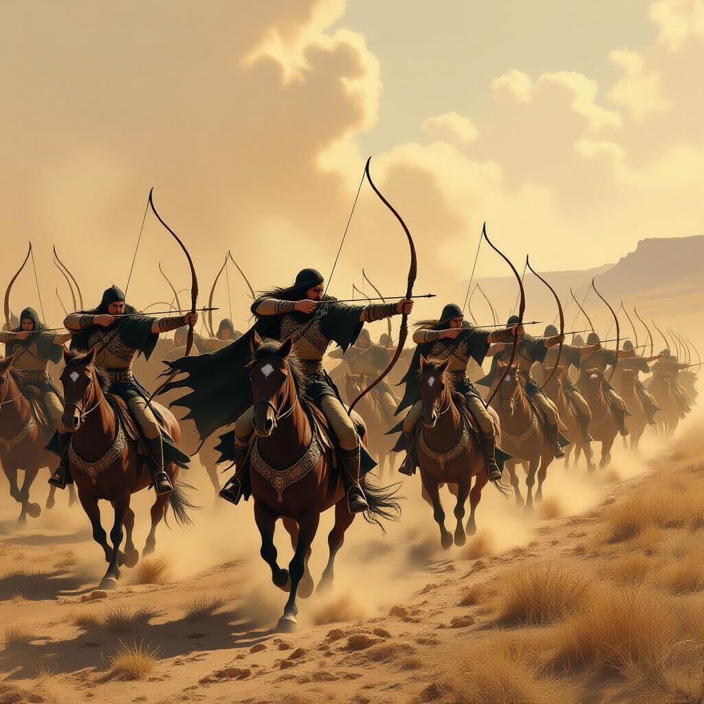
@Heritage Places, Castles & Architecture
07-Jun-2026 03 am
07-Jun-2026 03 am
This article uses text information from the Wikipedia article – Castle_of_Óbidos – [Wikipedia-Article-Link: https://en.wikipedia.org/wiki/Castle_of_%C3%93bidos ] which is released under the -- Creative Commons Attribution-ShareAlike 4.0 License – [License-Link: https://creativecommons.org/licenses/by-sa/4.0/deed.en ( https://en.wikipedia.org/wiki/Wikipedia:Text_of_the_Creative_Commons_Attribution-ShareAlike_4.0_International_License )] [List of Principal Authors (5 or less) of the Wikipedia-Article on the date of this Article being Created in this Website: - Zeorymer, Winterysteppe, Zackmann08, InternetArchiveBot, Plitchx] [Use the following Authorship tool to find out the author contributions:- https://xtools.wmcloud.org/authorship ] [The Current Article on this Website has been paraphrased from the above linked corresponding Wikipedia-Article and You may redistribute this, verbatim or modified, provided that you comply with the terms of the Creative Commons Attribution-ShareAlike 4.0 License] [License-Link: https://creativecommons.org/licenses/by-sa/4.0/deed.en ( https://en.wikipedia.org/wiki/Wikipedia:Text_of_the_Creative_Commons_Attribution-ShareAlike_4.0_International_License )]
[Image: A beautiful view of the medieval Obidos Castle with battlements under a clear blue sky in Portugal; Image-Author: Jose Cruz] [Image-Source-Link: https://www.pexels.com/photo/scenic-view-of-obidos-castle-battlements-in-portugal-34693564/ ] [License-Link: https://www.pexels.com/license/ ] [Please Also Relate to Original Individual Text and Image URLs for More Usage Property and Sharing, Remixing or Attributing the Contents] [Contents on Wikipedia is covered by – Disclaimer – [Wikipedia-Disclaimer-Link : https://en.wikipedia.org/wiki/Wikipedia:General_disclaimer ] [Contents in this Website is also covered by Disclaimer linked at the bottom of the Page] [This website article means no intellectual appropriation by any way and only wishes to contribute in sharing of knowledge]
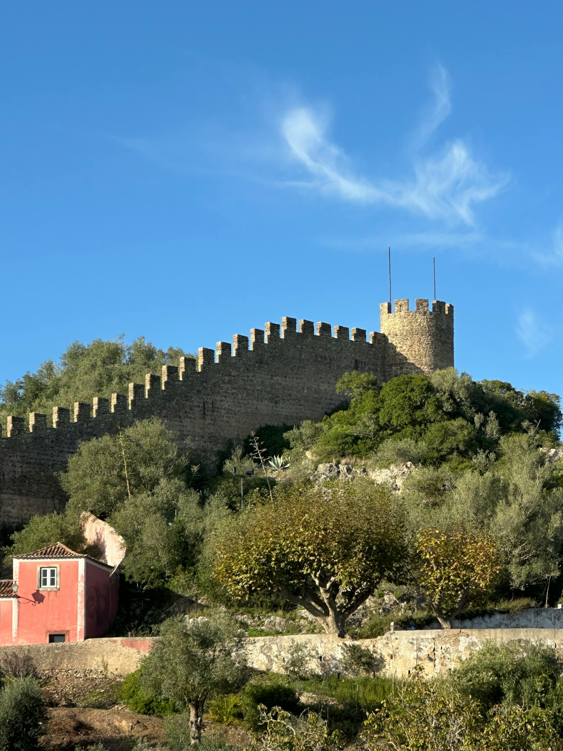
@Historical Events
06-Jun-2026 05 am
06-Jun-2026 05 am
This article uses text information from the Wikipedia article – Siege_of_Belgrade_(1717) – [Wikipedia-Article-Link: https://en.wikipedia.org/wiki/Siege_of_Belgrade_(1717) ] which is released under the -- Creative Commons Attribution-ShareAlike 4.0 License – [License-Link: https://creativecommons.org/licenses/by-sa/4.0/deed.en ( https://en.wikipedia.org/wiki/Wikipedia:Text_of_the_Creative_Commons_Attribution-ShareAlike_4.0_International_License )] and additional terms may apply. [List of Principal Authors (5 or less) of the Wikipedia-Article on the date of this Article being Created in this Website: - Aeengath, American Idiot1, Lenovya, Sorabino, Djmaschek] [Use the following Authorship tool to find out the author contributions:- https://xtools.wmcloud.org/authorship ] [The Current Article on this Website has been paraphrased from the above linked corresponding Wikipedia-Article and You may redistribute this, verbatim or modified, provided that you comply with the terms of the Creative Commons Attribution-ShareAlike 4.0 License] [License-Link: https://creativecommons.org/licenses/by-sa/4.0/deed.en ( https://en.wikipedia.org/wiki/Wikipedia:Text_of_the_Creative_Commons_Attribution-ShareAlike_4.0_International_License )]
This article also uses an image from the Wikipedia article – Siege_of_Belgrade_(1717) – [Wikipedia-Article-Link: https://en.wikipedia.org/wiki/Siege_of_Belgrade_(1717) ] [Image: Prince Eugen of Savoy captures Belgrade on 16 August 1717 (1720) by Jan van Huchtenburgh (–1733)] [Wikipedia-Image-Link: https://en.wikipedia.org/wiki/File:1720_Huchtenburg_Eroberungs_Belgrads_1717_anagoria.JPG ] [This work (Image) is faithful photographic reproduction of a two-dimensional, public domain work of art. The author died in 1733, so this work is in the public domain in its country of origin and other countries and areas where the copyright term is the life of author plus 100 years or fewer. This work is in the public domain in the United States because it was published (or registered with the U.S. Copyright Office) before January 1, 1931. ] [Please Also Relate to Original Individual Text and Image URLs for More Usage Property and Sharing, Remixing or Attributing the Contents]
[Contents on Wikipedia is covered by – Disclaimer – Wikipedia-Disclaimer-Link: https://en.wikipedia.org/wiki/Wikipedia:General_disclaimer ] [Contents in this Website is also covered by Disclaimer linked at the bottom of the Page] [This website article means no intellectual appropriation by any way and only wishes to contribute in sharing of knowledge]
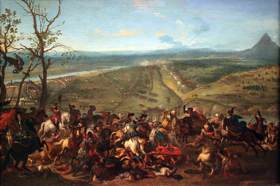
@Historical Events
03-Jun-2026 03 am
03-Jun-2026 03 am
This article uses text information from the Wikipedia article – Boudica – [Wikipedia-Article-Link: https://en.wikipedia.org/wiki/Boudica ] which is released under the -- Creative Commons Attribution-ShareAlike 4.0 License – [License-Link: https://creativecommons.org/licenses/by-sa/4.0/deed.en ( https://en.wikipedia.org/wiki/Wikipedia:Text_of_the_Creative_Commons_Attribution-ShareAlike_4.0_International_License )] and additional terms may apply. [List of Principal Authors (5 or less) of the Wikipedia-Article on the date of this Article being Created in this Website: - Amitchell125, Peaceray, Nicknack009, Alansplodge, NebY] [Use the following Authorship tool to find out the author contributions:- https://xtools.wmcloud.org/authorship ] [The Current Article on this Website has been paraphrased from the above linked corresponding Wikipedia-Article and You may redistribute this, verbatim or modified, provided that you comply with the terms of the Creative Commons Attribution-ShareAlike 4.0 License] [License-Link: https://creativecommons.org/licenses/by-sa/4.0/deed.en ( https://en.wikipedia.org/wiki/Wikipedia:Text_of_the_Creative_Commons_Attribution-ShareAlike_4.0_International_License )]
This article also uses an image from the Wikipedia article – Boudica – [Wikipedia-Article-Link: https://en.wikipedia.org/wiki/Boudica ] [Image: Boadicea Haranguing the Britons (1793) by John Opie (1761–1807)] [Wikipedia-Image-Link: https://en.wikipedia.org/wiki/File:Queen_Boudica_by_John_Opie.jpg ] [The Work (Image) is a faithful photographic reproduction of a two-dimensional, public domain work of art. This work is in the public domain in its country of origin and other countries and areas where the copyright term is the life of author plus 100 years or fewer. This work is in the public domain in the United States because it was published (or registered with the U.S. Copyright Office) before January 1, 1931. ][Please Also Relate to Original Individual Text and Image URLs for More Usage Property and Sharing, Remixing or Attributing the Contents]
[Contents on Wikipedia is covered by – Disclaimer – Wikipedia-Disclaimer-Link: https://en.wikipedia.org/wiki/Wikipedia:General_disclaimer ] [Contents in this Website is also covered by Disclaimer linked at the bottom of the Page] [This website article means no intellectual appropriation by any way and only wishes to contribute in sharing of knowledge]
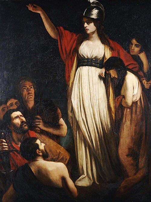
@Heritage Places, Castles & Architecture
01-Jun-2026 04 am
01-Jun-2026 04 am
This article uses text information from the Wikipedia article – Gruyères_Castle – [Wikipedia-Article-Link: https://en.wikipedia.org/wiki/Gruy%C3%A8res_Castle ] which is released under the -- Creative Commons Attribution-ShareAlike 4.0 License – [License-Link: https://creativecommons.org/licenses/by-sa/4.0/deed.en ( https://en.wikipedia.org/wiki/Wikipedia:Text_of_the_Creative_Commons_Attribution-ShareAlike_4.0_International_License )] and additional terms may apply. [List of Principal Authors (5 or less) of the Wikipedia-Article on the date of this Article being Created in this Website: - SalomonCeb, Tobyc75, 96.231.12.44, Toadspike, InternetArchiveBot] [Use the following Authorship tool to find out the author contributions:- https://xtools.wmcloud.org/authorship ] [The Current Article on this Website has been paraphrased from the above linked corresponding Wikipedia-Article and You may redistribute this, verbatim or modified, provided that you comply with the terms of the Creative Commons Attribution-ShareAlike 4.0 License] [License-Link: https://creativecommons.org/licenses/by-sa/4.0/deed.en ( https://en.wikipedia.org/wiki/Wikipedia:Text_of_the_Creative_Commons_Attribution-ShareAlike_4.0_International_License )]
[Image: A picturesque view of the historic Gruyères Castle surrounded by lush greenery in Switzerland; Image-Author: Christopher Politano] [Image-Source-Link: https://www.pexels.com/photo/vertical-shot-of-the-gruyeres-castle-23503673/ ] [License-Link: https://www.pexels.com/license/ ] [Please Also Relate to Original Individual Text and Image URLs for More Usage Property and Sharing, Remixing or Attributing the Contents] [Contents on Wikipedia is covered by – Disclaimer – [Wikipedia-Disclaimer-Link : https://en.wikipedia.org/wiki/Wikipedia:General_disclaimer ] [Contents in this Website is also covered by Disclaimer linked at the bottom of the Page] [This website article means no intellectual appropriation by any way and only wishes to contribute in sharing of knowledge]
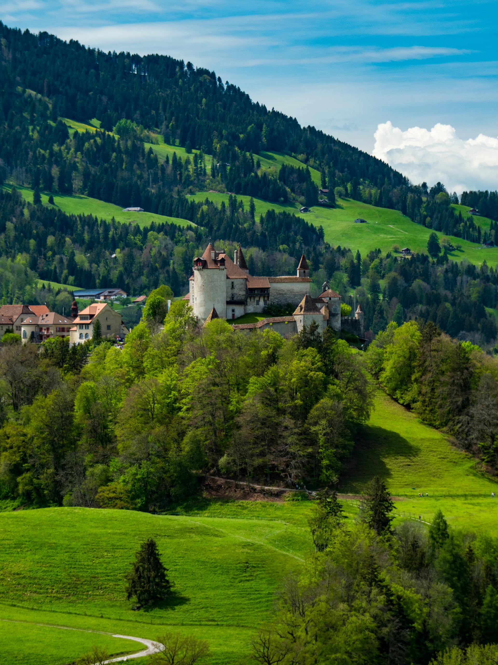
@Historical Events
31-May-2026 03 am
31-May-2026 03 am
This article uses text information from the Wikipedia article – Greek_War_of_Independence – [Wikipedia-Article-Link: https://en.wikipedia.org/wiki/Greek_War_of_Independence ] which is released under the -- Creative Commons Attribution-ShareAlike 4.0 License – [License-Link: https://creativecommons.org/licenses/by-sa/4.0/deed.en ( https://en.wikipedia.org/wiki/Wikipedia:Text_of_the_Creative_Commons_Attribution-ShareAlike_4.0_International_License )] and additional terms may apply. [List of Principal Authors (5 or less) of the Wikipedia-Article on the date of this Article being Created in this Website: - Yannismarou, A. S. Brown, Cplakidas, Kyriakos, Ashmedai 119] [Use the following Authorship tool to find out the author contributions:- https://xtools.wmcloud.org/authorship ] [The Current Article on this Website has been paraphrased from the above linked corresponding Wikipedia-Article and You may redistribute this, verbatim or modified, provided that you comply with the terms of the Creative Commons Attribution-ShareAlike 4.0 License] [License-Link: https://creativecommons.org/licenses/by-sa/4.0/deed.en ( https://en.wikipedia.org/wiki/Wikipedia:Text_of_the_Creative_Commons_Attribution-ShareAlike_4.0_International_License )]
This article also uses an image from the Wikipedia article -- Greek_War_of_Independence -- [Wikipedia-Article-Link: https://en.wikipedia.org/wiki/Greek_War_of_Independence ] [Image: Greek war of independence painting collage, a collection of paintings from publicly available resources and wikicommons. Top left: The camp at Phaliro. Top right: The burning of the Ottoman flagship off Chios. Bottom right: The Battle of Navarino. Bottom left: Ibrahim Pasha of Egypt at the Third Siege of Missolonghi; Wikipedia-Image-Author: SJCAmerican] [Wikipedia-Image-Link: https://en.wikipedia.org/wiki/File:Greek_revolution_collage.jpg ] [Image Availed Under Creative Commons Attribution-Share Alike 4.0 International license] [License-Link: https://creativecommons.org/licenses/by-sa/4.0/deed.en ] [You may copy, distribute and transmit the work (image) or share (alike) the work (image), provided that you comply with the terms of the Creative Commons Attribution-Share Alike 4.0 International license or other compatible license in distribution] [License-Link: https://creativecommons.org/licenses/by-sa/4.0/deed.en ] [Please Also Relate to Original Individual Text and Image URLs for More Usage Property and Sharing, Remixing or Attributing the Contents] [Contents on Wikipedia is covered by -- Disclaimer – Wikipedia-Disclaimer-Link: https://en.wikipedia.org/wiki/Wikipedia:General_disclaimer ] [Contents in this Website is also covered by Disclaimer linked at the bottom of the Page] [This website article means no intellectual appropriation by any way and only wishes to contribute in sharing of knowledge]
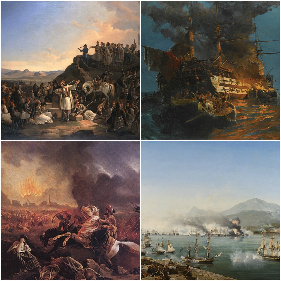
@Heritage Places, Castles & Architecture
28-May-2026 09 pm
28-May-2026 09 pm
This article uses text information from the Wikipedia article – Kidwelly_Castle – [Wikipedia-Article-Link: https://en.wikipedia.org/wiki/Kidwelly_Castle ] which is released under the -- Creative Commons Attribution-ShareAlike 4.0 License – [License-Link: https://creativecommons.org/licenses/by-sa/4.0/deed.en ( https://en.wikipedia.org/wiki/Wikipedia:Text_of_the_Creative_Commons_Attribution-ShareAlike_4.0_International_License )] and additional terms may apply. [List of Principal Authors (5 or less) of the Wikipedia-Article on the date of this Article being Created in this Website: - 82.12.202.32, MallardTV, 2607:FA49:1A44:4700:EC0A:EBDD:DC5A:AA13, Hchc2009, 114.75.189.114] [Use the following Authorship tool to find out the author contributions:- https://xtools.wmcloud.org/authorship ] [The Current Article on this Website has been paraphrased from the above linked corresponding Wikipedia-Article and You may redistribute this, verbatim or modified, provided that you comply with the terms of the Creative Commons Attribution-ShareAlike 4.0 License] [License-Link: https://creativecommons.org/licenses/by-sa/4.0/deed.en ( https://en.wikipedia.org/wiki/Wikipedia:Text_of_the_Creative_Commons_Attribution-ShareAlike_4.0_International_License )]
[Image: A stunning view of Kidwelly Castle set against a vibrant blue sky in Wales; Image-Author: Wayne Jackson] [Image-Source-Link: https://www.pexels.com/photo/kidwelly-castle-in-wales-9080851/ ] [License-Link: https://www.pexels.com/license/ ] [Please Also Relate to Original Individual Text and Image URLs for More Usage Property and Sharing, Remixing or Attributing the Contents] [Contents on Wikipedia is covered by – Disclaimer – [Wikipedia-Disclaimer-Link : https://en.wikipedia.org/wiki/Wikipedia:General_disclaimer ] [Contents in this Website is also covered by Disclaimer linked at the bottom of the Page] [This website article means no intellectual appropriation by any way and only wishes to contribute in sharing of knowledge]
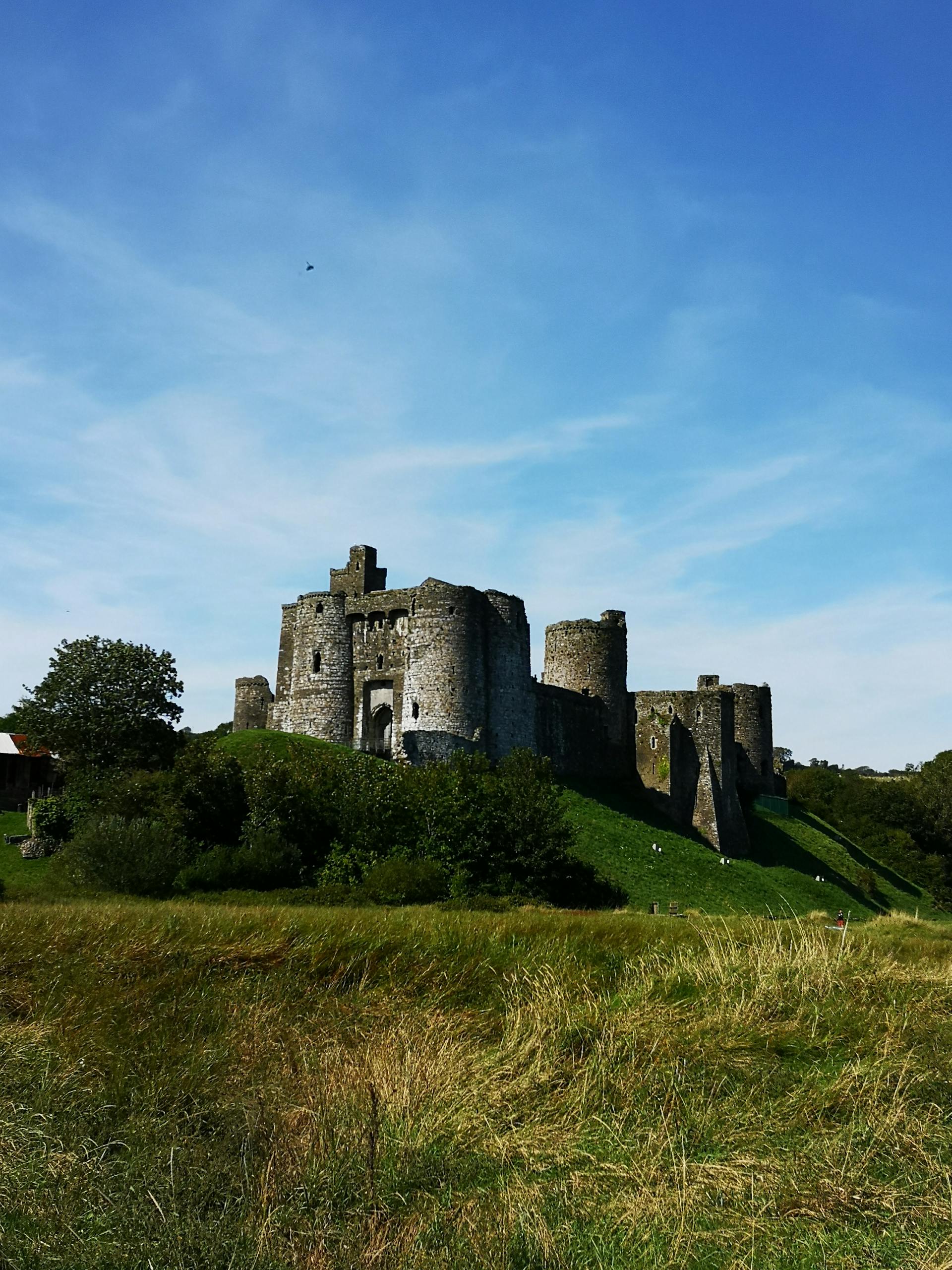
@Heritage Places, Castles & Architecture
27-May-2026 09 pm
27-May-2026 09 pm
This article uses text information from the Wikipedia article – Glanum – [Wikipedia-Article-Link: https://en.wikipedia.org/wiki/Glanum ] which is released under the -- Creative Commons Attribution-ShareAlike 4.0 License – [License-Link: https://creativecommons.org/licenses/by-sa/4.0/deed.en ( https://en.wikipedia.org/wiki/Wikipedia:Text_of_the_Creative_Commons_Attribution-ShareAlike_4.0_International_License )] [List of Principal Authors (5 or less) of the Wikipedia-Article on the date of this Article being Created in this Website: - SiefkinDR, PericlesofAthens, Gun Powder Ma, Cote dAzur, Mygodfrey] [Use the following Authorship tool to find out the author contributions:- https://xtools.wmcloud.org/authorship ] [The Current Article on this Website has been paraphrased from the above linked corresponding Wikipedia-Article and You may redistribute this, verbatim or modified, provided that you comply with the terms of the Creative Commons Attribution-ShareAlike 4.0 License] [License-Link: https://creativecommons.org/licenses/by-sa/4.0/deed.en ( https://en.wikipedia.org/wiki/Wikipedia:Text_of_the_Creative_Commons_Attribution-ShareAlike_4.0_International_License )]
This article also uses an image from the Wikipedia article -- Glanum -- [Wikipedia-Article-Link : https://en.wikipedia.org/wiki/Glanum ] [Image : Saint-Rémy-de-Provence (France): Roman site -- Les Antiques -- with the Mausoleum (left) and the Arch (right); Wikipedia-Image-Author : Marc Ryckaert (MJJR) https://commons.wikimedia.org/wiki/User:MJJR ] [Wikipedia-Image-Link: https://en.wikipedia.org/wiki/File:Saint_Remy_Les_Antiques_R01.jpg ] [Image Availed Under Creative Commons Attribution 3.0 Unported license;] [License-Link : https://creativecommons.org/licenses/by/3.0/deed.en ] [You may copy, distribute and transmit the work (image) or remix the work (image) and attribute the work (image) with proper license link, complying with the terms of the Creative Commons Attribution 3.0 Unported license in distribution] [License-Link : https://creativecommons.org/licenses/by/3.0/deed.en ] [Please Also Relate to Original Individual Text and Image URLs for More Usage Property and Sharing, Remixing or Attributing the Contents]
[Contents on Wikipedia is covered by -- Disclaimer -- [Wikipedia-Disclaimer-Link : https://en.wikipedia.org/wiki/Wikipedia:General_disclaimer ] [Contents in this Website is also covered by Disclaimer linked at the bottom of the Page] [This website article means no intellectual appropriation by any way and only wishes to contribute in sharing of knowledge]
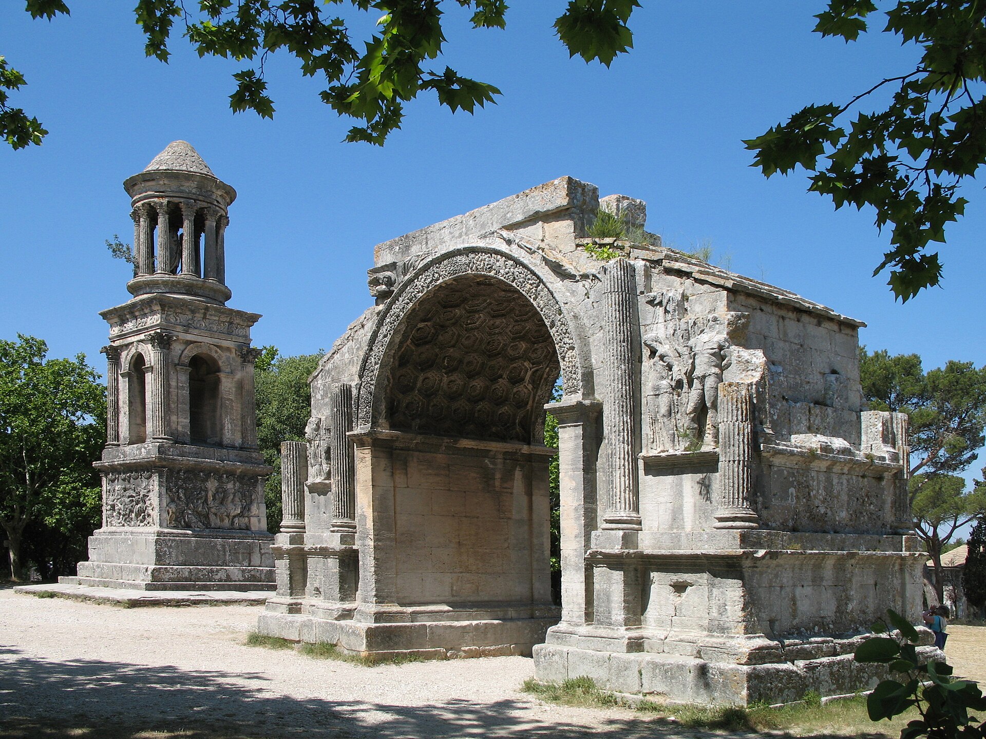
@Historical Events
23-May-2026 05 pm
23-May-2026 05 pm
This article uses text information from the Wikipedia article – Irminsul – [Wikipedia-Article-Link: https://en.wikipedia.org/wiki/Irminsul ] which is released under the -- Creative Commons Attribution-ShareAlike 4.0 License – [License-Link: https://creativecommons.org/licenses/by-sa/4.0/deed.en ( https://en.wikipedia.org/wiki/Wikipedia:Text_of_the_Creative_Commons_Attribution-ShareAlike_4.0_International_License )] [List of Principal Authors (5 or less) of the Wikipedia-Article on the date of this Article being Created in this Website: - Bloodofox, Dysmorodrepanis~enwiki, Srnec, Dbachmann, Ermenrich] [Use the following Authorship tool to find out the author contributions:- https://xtools.wmcloud.org/authorship ] [The Current Article on this Website has been paraphrased from the above linked corresponding Wikipedia-Article and You may redistribute this, verbatim or modified, provided that you comply with the terms of the Creative Commons Attribution-ShareAlike 4.0 License] [License-Link: https://creativecommons.org/licenses/by-sa/4.0/deed.en ( https://en.wikipedia.org/wiki/Wikipedia:Text_of_the_Creative_Commons_Attribution-ShareAlike_4.0_International_License )]
This article also uses an image from the Wikipedia article – Irminsul – [Wikipedia-Article-Link: https://en.wikipedia.org/wiki/Irminsul ] [Image: Captioned as -- Zerstörung der Irminsäule durch Karl den Großen (The destruction of the Irminsul by Charlemagne) by Heinrich Leutemann (1824-1904)] [Wikipedia-Image-Link: https://en.wikipedia.org/wiki/File:Zerst%C3%B6rung_der_Irminsaule_durch_Karl_den_Gro%C3%9Fen_by_Heinrich_Leutemann.jpg ] [This work is in the public domain in its country of origin and other countries and areas where the copyright term is the life of author plus 70 years or fewer. The work is also believed to be in public domain in the United States as well.] [Please Also Relate to Original Individual Text and Image URLs for More Usage Property and Sharing, Remixing or Attributing the Contents]
[Contents on Wikipedia is covered by – Disclaimer – Wikipedia-Disclaimer-Link: https://en.wikipedia.org/wiki/Wikipedia:General_disclaimer ] [Contents in this Website is also covered by Disclaimer linked at the bottom of the Page] [This website article means no intellectual appropriation by any way and only wishes to contribute in sharing of knowledge]
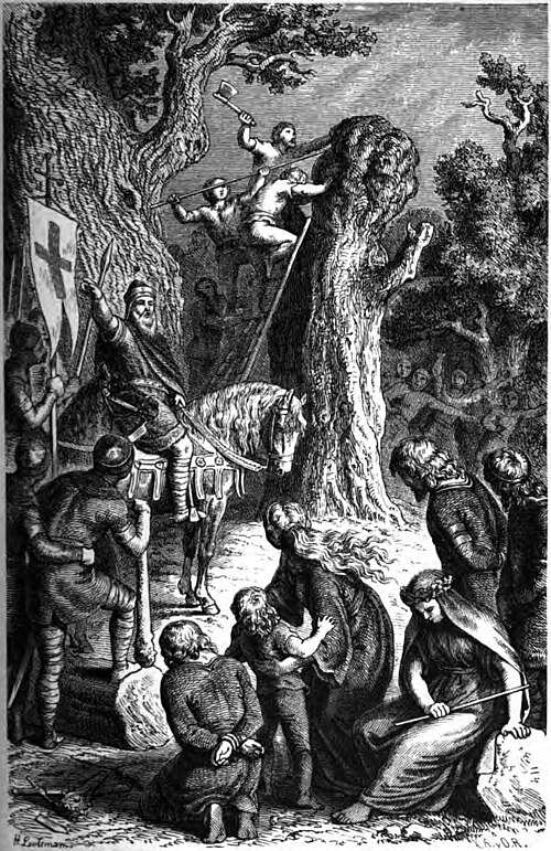
@Heritage Places, Castles & Architecture
22-May-2026 10 pm
22-May-2026 10 pm
This article uses text information from the Wikipedia article – Rhuddlan_Castle – [Wikipedia-Article-Link: https://en.wikipedia.org/wiki/Rhuddlan_Castle ] which is released under the -- Creative Commons Attribution-ShareAlike 4.0 License – [License-Link: https://creativecommons.org/licenses/by-sa/4.0/deed.en ( https://en.wikipedia.org/wiki/Wikipedia:Text_of_the_Creative_Commons_Attribution-ShareAlike_4.0_International_License )] [List of Principal Authors (5 or less) of the Wikipedia-Article on the date of this Article being Created in this Website: - Deb, 86.149.220.92, DankJae, 86.130.125.248, 86.130.134.157] [Use the following Authorship tool to find out the author contributions:- https://xtools.wmcloud.org/authorship ] [The Current Article on this Website has been paraphrased from the above linked corresponding Wikipedia-Article and You may redistribute this, verbatim or modified, provided that you comply with the terms of the Creative Commons Attribution-ShareAlike 4.0 License] [License-Link: https://creativecommons.org/licenses/by-sa/4.0/deed.en ( https://en.wikipedia.org/wiki/Wikipedia:Text_of_the_Creative_Commons_Attribution-ShareAlike_4.0_International_License )]
[Image: Capture of Rhuddlan Castle ruins amidst lush greenery in Wales, UK; Image-Author: Lisa from Pexels] [Image-Source-Link: https://www.pexels.com/photo/the-rhuddlan-castle-in-wales-9880895/ ] [License-Link: https://www.pexels.com/license/ ] [Please Also Relate to Original Individual Text and Image URLs for More Usage Property and Sharing, Remixing or Attributing the Contents] [Contents on Wikipedia is covered by – Disclaimer – [Wikipedia-Disclaimer-Link : https://en.wikipedia.org/wiki/Wikipedia:General_disclaimer ] [Contents in this Website is also covered by Disclaimer linked at the bottom of the Page] [This website article means no intellectual appropriation by any way and only wishes to contribute in sharing of knowledge]
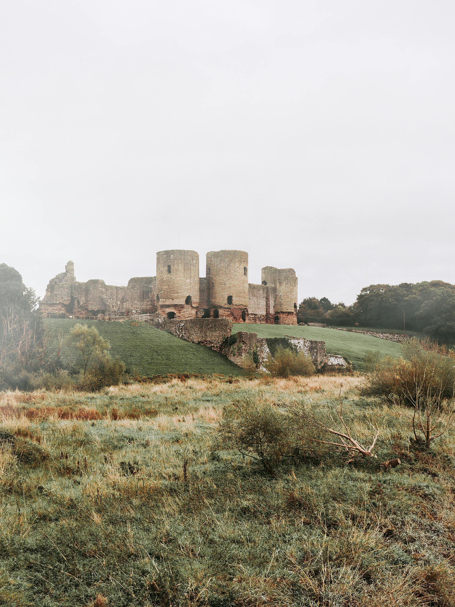
@Historical Events
13-May-2026 07 pm
13-May-2026 07 pm
This article uses text information from the Wikipedia article – Karikala – [Wikipedia-Article-Link: https://en.wikipedia.org/wiki/Karikala ] which is released under the -- Creative Commons Attribution-ShareAlike 4.0 License – [License-Link: https://creativecommons.org/licenses/by-sa/4.0/deed.en ( https://en.wikipedia.org/wiki/Wikipedia:Text_of_the_Creative_Commons_Attribution-ShareAlike_4.0_International_License )] [List of Principal Authors (5 or less) of the Wikipedia-Article on the date of this Article being Created in this Website: - Pikachu 9988, Itsmethunder9783, Venu62, Tirukodimadachengunrur, Ranithraj] [Use the following Authorship tool to find out the author contributions:- https://xtools.wmcloud.org/authorship ] [The Current Article on this Website has been paraphrased from the above linked corresponding Wikipedia-Article and You may redistribute this, verbatim or modified, provided that you comply with the terms of the Creative Commons Attribution-ShareAlike 4.0 License] [License-Link: https://creativecommons.org/licenses/by-sa/4.0/deed.en ( https://en.wikipedia.org/wiki/Wikipedia:Text_of_the_Creative_Commons_Attribution-ShareAlike_4.0_International_License )]
This article also uses an image from the Wikipedia article -- Karikala -- [Wikipedia-Article-Link: https://en.wikipedia.org/wiki/Karikala ] [Image: Bronze statue of Karikāla Chōḻaṉ (Picture of Karikala cholan taken at Kallai in Trichy); Wikipedia-Image-Author: Abinayapalanichamy] [Wikipedia-Image-Link: https://en.wikipedia.org/wiki/File:Karikalacholan_kallanai_trichy.jpg ] [Image Availed Under Creative Commons Attribution-Share Alike 4.0 International license] [License-Link: https://creativecommons.org/licenses/by-sa/4.0/deed.en ] [You may copy, distribute and transmit the work (image) or share (alike) the work (image), provided that you comply with the terms of the Creative Commons Attribution-Share Alike 4.0 International license or other compatible license in distribution] [License-Link: https://creativecommons.org/licenses/by-sa/4.0/deed.en ] [Please Also Relate to Original Individual Text and Image URLs for More Usage Property and Sharing, Remixing or Attributing the Contents]
[Contents on Wikipedia is covered by -- Disclaimer – Wikipedia-Disclaimer-Link: https://en.wikipedia.org/wiki/Wikipedia:General_disclaimer ] [Contents in this Website is also covered by Disclaimer linked at the bottom of the Page] [This website article means no intellectual appropriation by any way and only wishes to contribute in sharing of knowledge]
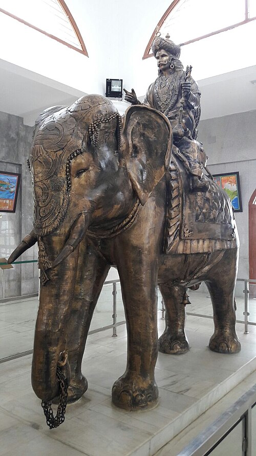
@Historical Events
12-May-2026 12 pm
12-May-2026 12 pm
This article uses text information from the Wikipedia article – Rajaraja_I – [Wikipedia-Article-Link: https://en.wikipedia.org/wiki/Rajaraja_I ] which is released under the -- Creative Commons Attribution-ShareAlike 4.0 License – [License-Link: https://creativecommons.org/licenses/by-sa/4.0/deed.en ( https://en.wikipedia.org/wiki/Wikipedia:Text_of_the_Creative_Commons_Attribution-ShareAlike_4.0_International_License )] [List of Principal Authors (5 or less) of the Wikipedia-Article on the date of this Article being Created in this Website: - Utcursch, Hu Nhu, Magentic Manifestations, Kochadaiyaan ranadhira 22, Itsmethunder9783] [Use the following Authorship tool to find out the author contributions:- https://xtools.wmcloud.org/authorship ] [The Current Article on this Website has been paraphrased from the above linked corresponding Wikipedia-Article and You may redistribute this, verbatim or modified, provided that you comply with the terms of the Creative Commons Attribution-ShareAlike 4.0 License] [License-Link: https://creativecommons.org/licenses/by-sa/4.0/deed.en ( https://en.wikipedia.org/wiki/Wikipedia:Text_of_the_Creative_Commons_Attribution-ShareAlike_4.0_International_License )]
This article also uses an image from the Wikipedia article – Rajaraja_I – [Wikipedia-Article-Link: https://en.wikipedia.org/wiki/Rajaraja_I ] [Image: King Rajaraja Chola and guru (teacher) Karuvurar, Brihadeesvara temple, Tamil Nadu, 11th century; Wikipedia-Image-Author: Original uploader was Venu62 https://en.wikipedia.org/wiki/User:Venu62 ; derivative work: Keyan20 https://commons.wikimedia.org/wiki/User:Keyan20 ] [Wikipedia-Image-Link: https://en.wikipedia.org/wiki/File:Rajaraja_mural-2.jpg ] [The Work (Image) is a faithful photographic reproduction of a two-dimensional, public domain work of art. This work is in the public domain in its country of origin and other countries and areas where the copyright term is the life of author plus 100 years or fewer. This media file is in the public domain in the United States. This applies to U.S. works where the copyright has expired, often because its first publication occurred prior to January 1, 1931, and if not then due to lack of notice or renewal][Please Also Relate to Original Individual Text and Image URLs for More Usage Property and Sharing, Remixing or Attributing the Contents]
[Contents on Wikipedia is covered by – Disclaimer – Wikipedia-Disclaimer-Link: https://en.wikipedia.org/wiki/Wikipedia:General_disclaimer ] [Contents in this Website is also covered by Disclaimer linked at the bottom of the Page] [This website article means no intellectual appropriation by any way and only wishes to contribute in sharing of knowledge]
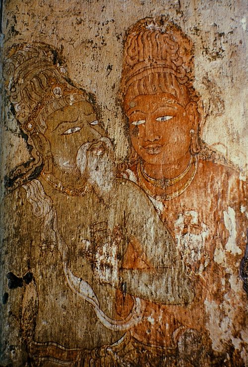
@Mythology, Legends, Folklore and Mysterious Things
09-May-2026 04 am
09-May-2026 04 am
This article uses text information from the Wikipedia article – Valhalla – [Wikipedia-Article-Link: https://en.wikipedia.org/wiki/Valhalla ] which is released under the -- Creative Commons Attribution-ShareAlike 4.0 License – [License-Link: https://creativecommons.org/licenses/by-sa/4.0/deed.en ( https://en.wikipedia.org/wiki/Wikipedia:Text_of_the_Creative_Commons_Attribution-ShareAlike_4.0_International_License )] [List of Principal Authors (5 or less) of the Wikipedia-Article on the date of this Article being Created in this Website: - Bloodofox, Quaxwell, Thatsnotmyname2020, Rushtheeditor, 80.111.232.39] [Use the following Authorship tool to find out the author contributions:- https://xtools.wmcloud.org/authorship ] [The Current Article on this Website has been paraphrased from the above linked corresponding Wikipedia-Article and You may redistribute this, verbatim or modified, provided that you comply with the terms of the Creative Commons Attribution-ShareAlike 4.0 License] [License-Link: https://creativecommons.org/licenses/by-sa/4.0/deed.en ( https://en.wikipedia.org/wiki/Wikipedia:Text_of_the_Creative_Commons_Attribution-ShareAlike_4.0_International_License )]
This article also uses an image from the Wikipedia article -- Valhalla -- [Wikipedia-Article-Link: https://en.wikipedia.org/wiki/Valhalla ] [Image: Walhalla (1896) by Max Brückner (1836–1919) in a scenic backdrop for Der Ring des Nibelungen by Richard Wagner] [Wikipedia-Image-Link: https://en.wikipedia.org/wiki/File:Walhalla_(1896)_by_Max_Br%C3%BCckner.jpg ] [This work (Image) is a faithful photographic reproduction of a two-dimensional, public domain work of art. The author died in 1919, so this work is in the public domain in its country of origin and other countries and areas where the copyright term is the life of author plus 100 years or fewer. This work is in the public domain in the United States because it was published (or registered with the U.S. Copyright Office) before January 1, 1931.] [Please Also Relate to Original Individual Text and Image URLs for More Usage Property and Sharing, Remixing or Attributing the Contents]
[Contents on Wikipedia is covered by -- Disclaimer – Wikipedia-Disclaimer-Link: https://en.wikipedia.org/wiki/Wikipedia:General_disclaimer ] [Contents in this Website is also covered by Disclaimer linked at the bottom of the Page] [This website article means no intellectual appropriation by any way and only wishes to contribute in sharing of knowledge]
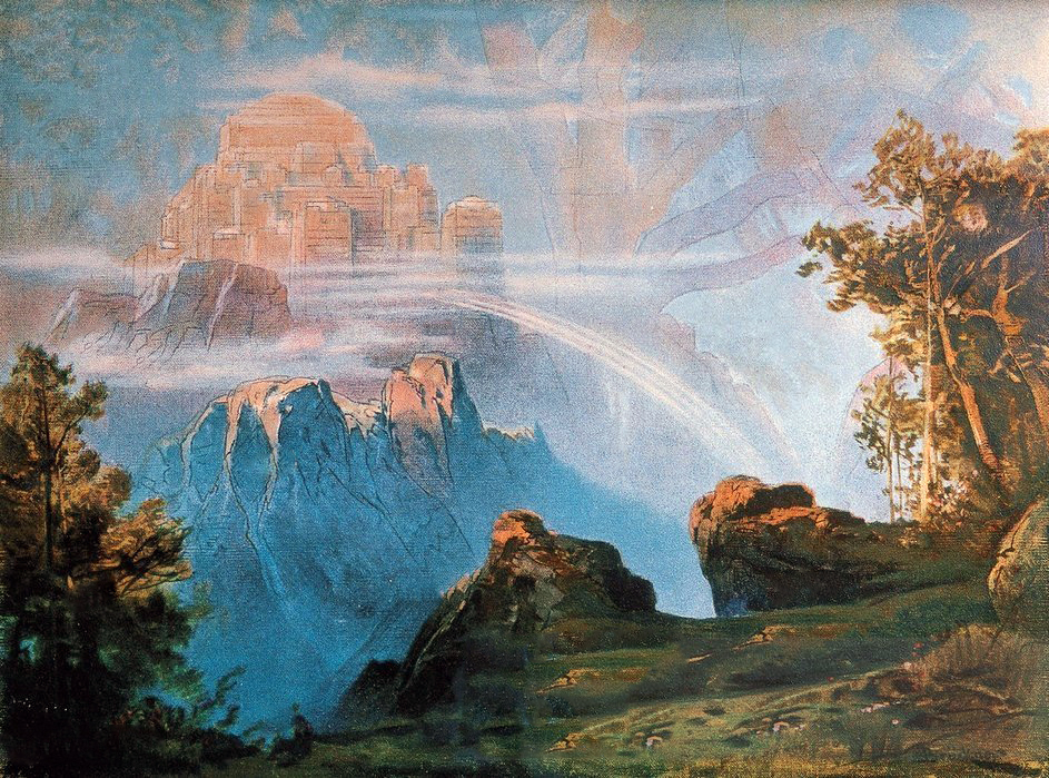
@Heritage Places, Castles & Architecture
08-May-2026 02 pm
08-May-2026 02 pm
This article uses text information from the Wikipedia article – Pepoli_Turret – [Wikipedia-Article-Link: https://en.wikipedia.org/wiki/Pepoli_Turret ] which is released under the -- Creative Commons Attribution-ShareAlike 4.0 License – [License-Link: https://creativecommons.org/licenses/by-sa/4.0/deed.en ( https://en.wikipedia.org/wiki/Wikipedia:Text_of_the_Creative_Commons_Attribution-ShareAlike_4.0_International_License )] [List of Principal Authors (5 or less) of the Wikipedia-Article on the date of this Article being Created in this Website: - Kned Wiki, 152.37.95.1, Zackmann08] [Use the following Authorship tool to find out the author contributions:- https://xtools.wmcloud.org/authorship ] [The Current Article on this Website has been paraphrased from the above linked corresponding Wikipedia-Article and You may redistribute this, verbatim or modified, provided that you comply with the terms of the Creative Commons Attribution-ShareAlike 4.0 License] [License-Link: https://creativecommons.org/licenses/by-sa/4.0/deed.en ( https://en.wikipedia.org/wiki/Wikipedia:Text_of_the_Creative_Commons_Attribution-ShareAlike_4.0_International_License )]
[Image: Aerial view of Torretta Pepoli Castle surrounded by lush greenery in Erice, Sicily, Italy; Image-Author: Luciana Evrard] [Image-Source-Link: https://www.pexels.com/photo/drone-shot-of-the-torretta-pepoli-castle-in-erice-sicily-italy-26806589/ ] [License-Link: https://www.pexels.com/license/ ] [Please Also Relate to Original Individual Text and Image URLs for More Usage Property and Sharing, Remixing or Attributing the Contents] [Contents on Wikipedia is covered by – Disclaimer – [Wikipedia-Disclaimer-Link : https://en.wikipedia.org/wiki/Wikipedia:General_disclaimer ] [Contents in this Website is also covered by Disclaimer linked at the bottom of the Page] [This website article means no intellectual appropriation by any way and only wishes to contribute in sharing of knowledge]
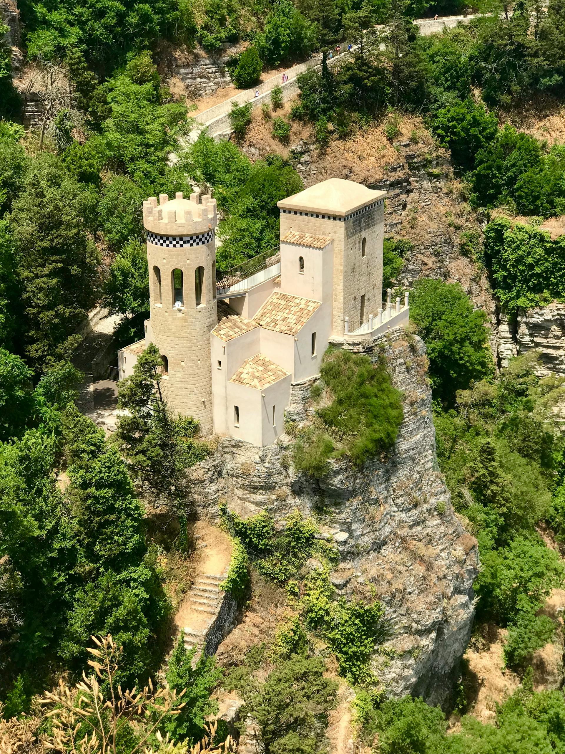
@Heritage Places, Castles & Architecture
26-Apr-2026 10 pm
26-Apr-2026 10 pm
This article uses text information from the Wikipedia article – Bečov_nad_Teplou – [Wikipedia-Article-Link: https://en.wikipedia.org/wiki/Be%C4%8Dov_nad_Teplou ] which is released under the -- Creative Commons Attribution-ShareAlike 4.0 License – [License-Link: https://creativecommons.org/licenses/by-sa/4.0/deed.en ( https://en.wikipedia.org/wiki/Wikipedia:Text_of_the_Creative_Commons_Attribution-ShareAlike_4.0_International_License )] and additional terms may apply. [List of Principal Authors (5 or less) of the Wikipedia-Article on the date of this Article being Created in this Website: - FromCzech, Mikeshk, Zackmann08, Pavel Bednařík (WMCZ), JJMC89 bot] [Use the following Authorship tool to find out the author contributions:- https://xtools.wmcloud.org/authorship ] [The Current Article on this Website has been paraphrased from the above linked corresponding Wikipedia-Article and You may redistribute this, verbatim or modified, provided that you comply with the terms of the Creative Commons Attribution-ShareAlike 4.0 License] [License-Link: https://creativecommons.org/licenses/by-sa/4.0/deed.en ( https://en.wikipedia.org/wiki/Wikipedia:Text_of_the_Creative_Commons_Attribution-ShareAlike_4.0_International_License )]
[Image: Pond Reflecting State Castle Becov in Czech Republic; Image-Author: Viliam Kudelka] [Image-Source-Link: https://www.pexels.com/photo/pond-reflecting-state-castle-becov-in-czech-republic-20893580/ ] [License-Link: https://www.pexels.com/license/ ] [Please Also Relate to Original Individual Text and Image URLs for More Usage Property and Sharing, Remixing or Attributing the Contents] [Contents on Wikipedia is covered by – Disclaimer – [Wikipedia-Disclaimer-Link : https://en.wikipedia.org/wiki/Wikipedia:General_disclaimer ] [Contents in this Website is also covered by Disclaimer linked at the bottom of the Page] [This website article means no intellectual appropriation by any way and only wishes to contribute in sharing of knowledge]
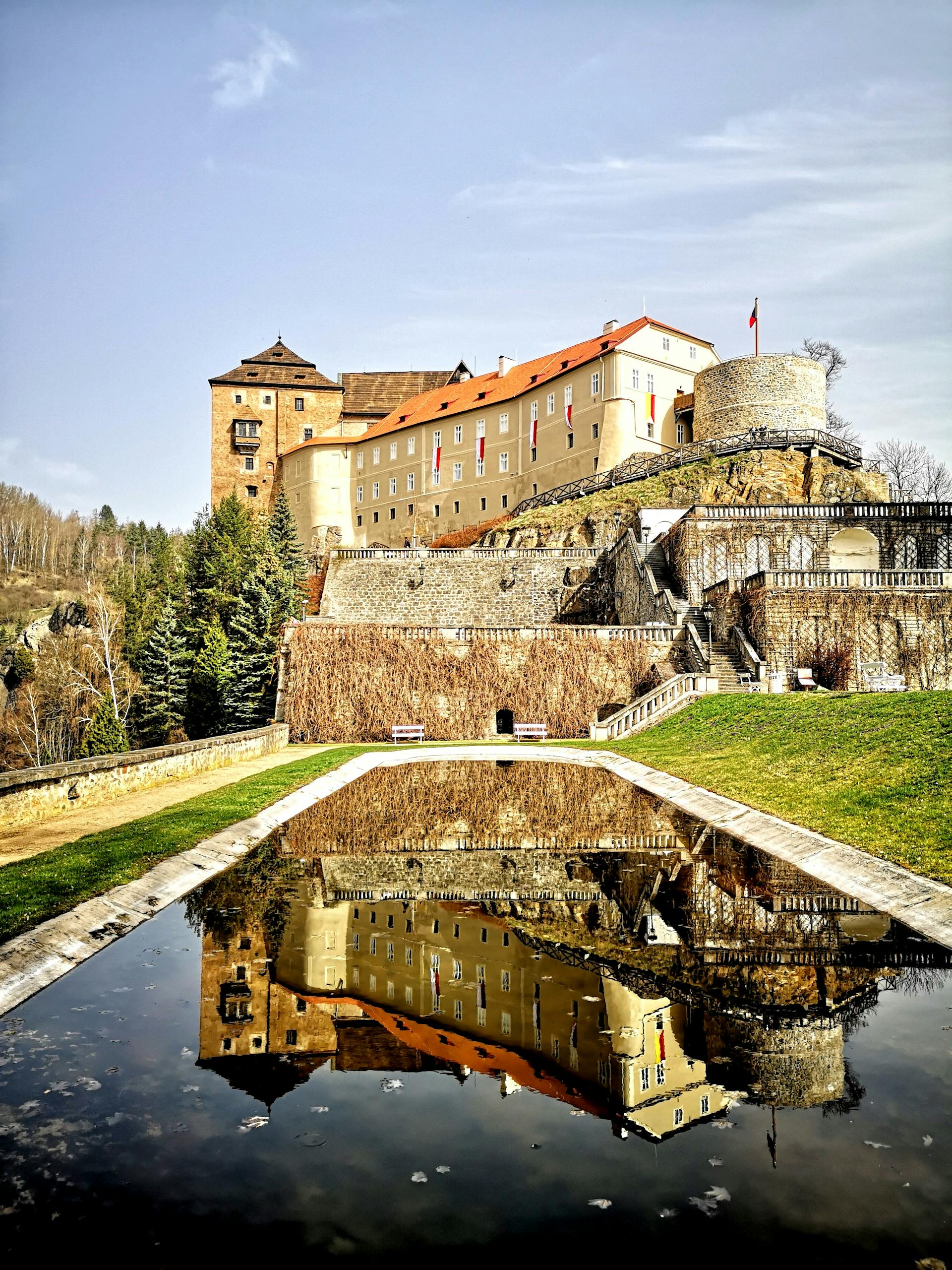
@Heritage Places, Castles & Architecture
25-Apr-2026 04 am
25-Apr-2026 04 am
This article uses text information from the Wikipedia article – Raglan_Castle – [Wikipedia-Article-Link: https://en.wikipedia.org/wiki/Raglan_Castle ] which is released under the -- Creative Commons Attribution-ShareAlike 4.0 License – [License-Link: https://creativecommons.org/licenses/by-sa/4.0/deed.en ( https://en.wikipedia.org/wiki/Wikipedia:Text_of_the_Creative_Commons_Attribution-ShareAlike_4.0_International_License )] [List of Principal Authors (5 or less) of the Wikipedia-Article on the date of this Article being Created in this Website: - Hchc2009, KJP1, Richard Nevell, Robinvp11, InternetArchiveBot] [Use the following Authorship tool to find out the author contributions:- https://xtools.wmcloud.org/authorship ] [The Current Article on this Website has been paraphrased from the above linked corresponding Wikipedia-Article and You may redistribute this, verbatim or modified, provided that you comply with the terms of the Creative Commons Attribution-ShareAlike 4.0 License] [License-Link: https://creativecommons.org/licenses/by-sa/4.0/deed.en ( https://en.wikipedia.org/wiki/Wikipedia:Text_of_the_Creative_Commons_Attribution-ShareAlike_4.0_International_License )]
[Image: Majestic Raglan Castle in Wales; Image-Author: Archie] [Image-Source-Link: https://www.pexels.com/photo/majestic-raglan-castle-in-wales-36900197/ ] [License-Link: https://www.pexels.com/license/ ] [Please Also Relate to Original Individual Text and Image URLs for More Usage Property and Sharing, Remixing or Attributing the Contents] [Contents on Wikipedia is covered by – Disclaimer – [Wikipedia-Disclaimer-Link : https://en.wikipedia.org/wiki/Wikipedia:General_disclaimer ] [Contents in this Website is also covered by Disclaimer linked at the bottom of the Page] [This website article means no intellectual appropriation by any way and only wishes to contribute in sharing of knowledge]
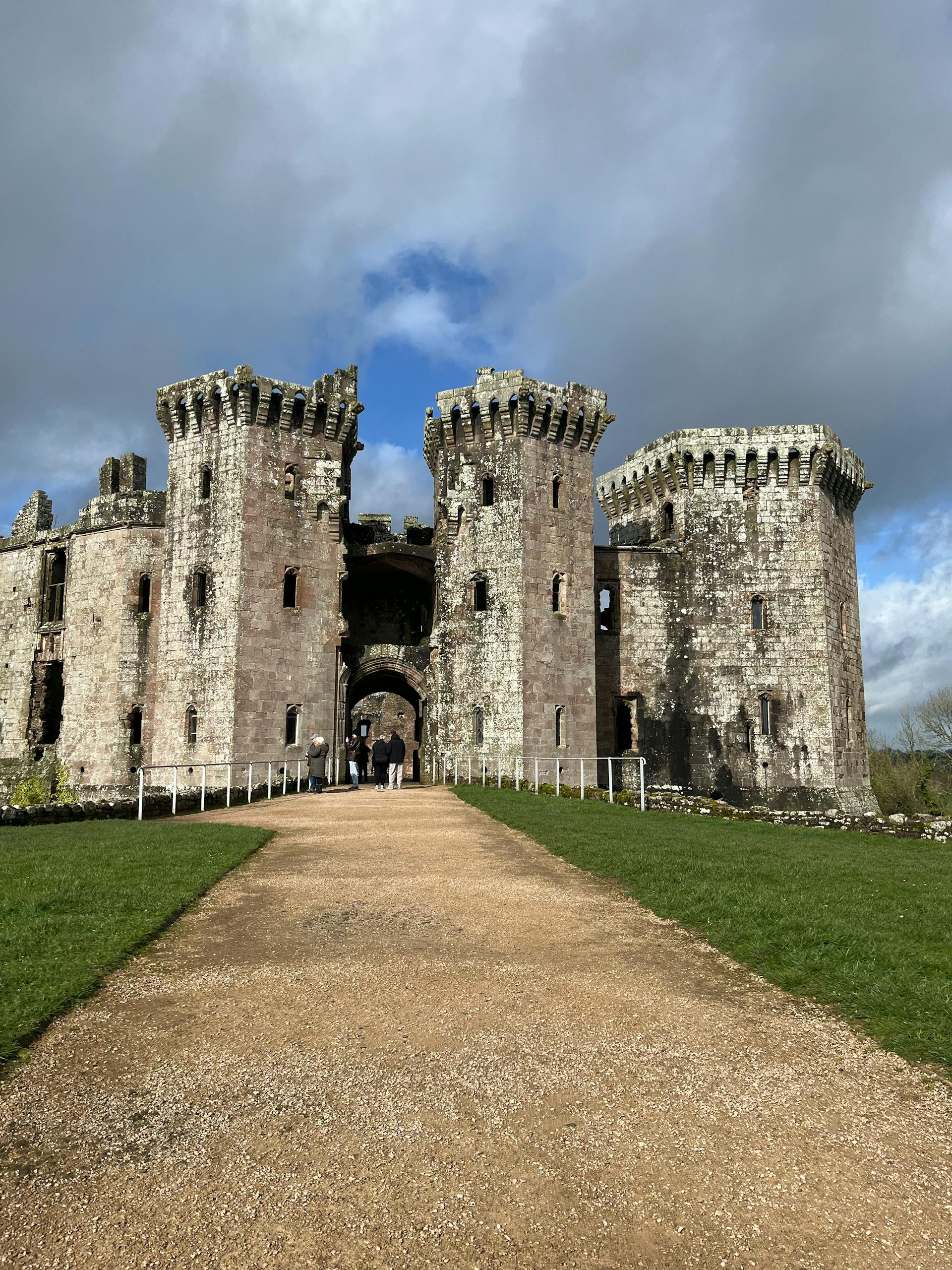
@Heritage Places, Castles & Architecture
27-Mar-2026 12 am
27-Mar-2026 12 am
This article uses text information from the Wikipedia article – Château_of_Blois – [Wikipedia-Article-Link: https://en.wikipedia.org/wiki/Ch%C3%A2teau_of_Blois ] which is released under the -- Creative Commons Attribution-ShareAlike 4.0 License – [License-Link: https://creativecommons.org/licenses/by-sa/4.0/deed.en ( https://en.wikipedia.org/wiki/Wikipedia:Text_of_the_Creative_Commons_Attribution-ShareAlike_4.0_International_License )] and additional terms may apply. [List of Principal Authors (5 or less) of the Wikipedia-Article on the date of this Article being Created in this Website: - Manutdmomma, Thibaud4141, DW, Stevage, Wetman] [Use the following Authorship tool to find out the author contributions:- https://xtools.wmcloud.org/authorship ] [The Current Article on this Website has been paraphrased from the above linked corresponding Wikipedia-Article and You may redistribute this, verbatim or modified, provided that you comply with the terms of the Creative Commons Attribution-ShareAlike 4.0 License] [License-Link: https://creativecommons.org/licenses/by-sa/4.0/deed.en ( https://en.wikipedia.org/wiki/Wikipedia:Text_of_the_Creative_Commons_Attribution-ShareAlike_4.0_International_License )]
[Image: A Concrete Building with Glass Windows, Blois, France (The spiral staircase in the Francis I wing of the Royal Château of Blois); Image-Author: Kibo Silalack] [Image-Source-Link: https://www.pexels.com/photo/a-concrete-building-with-glass-windows-5232007/ ] [License-Link: https://www.pexels.com/license/ ] [Please Also Relate to Original Individual Text and Image URLs for More Usage Property and Sharing, Remixing or Attributing the Contents] [Contents on Wikipedia is covered by – Disclaimer – [Wikipedia-Disclaimer-Link : https://en.wikipedia.org/wiki/Wikipedia:General_disclaimer ] [Contents in this Website is also covered by Disclaimer linked at the bottom of the Page] [This website article means no intellectual appropriation by any way and only wishes to contribute in sharing of knowledge]
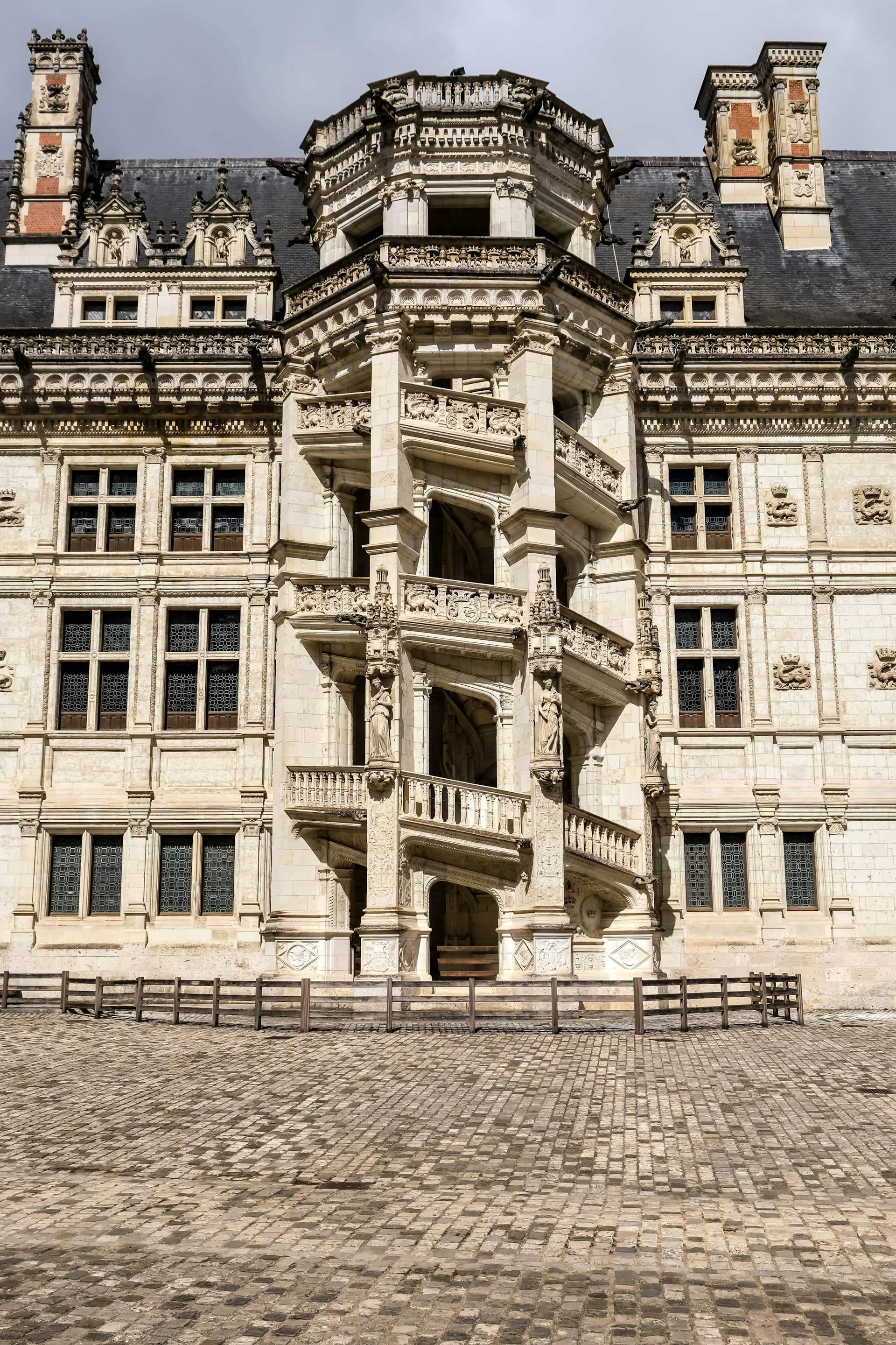
@Heritage Places, Castles & Architecture
20-Mar-2026 05 am
20-Mar-2026 05 am
This article uses text information from the Wikipedia article – Château_de_Najac – [Wikipedia-Article-Link: https://en.wikipedia.org/wiki/Ch%C3%A2teau_de_Najac ] which is released under the -- Creative Commons Attribution-ShareAlike 4.0 License – [License-Link: https://creativecommons.org/licenses/by-sa/4.0/deed.en ( https://en.wikipedia.org/wiki/Wikipedia:Text_of_the_Creative_Commons_Attribution-ShareAlike_4.0_International_License ) ] and additional terms may apply. [List of Principal Authors (5 or less) of the Wikipedia-Article on the date of this Article being Created in this Website: - 195.101.136.77, Emeraude, Perspicaris, Markussep, Olivier] [Use the following Authorship tool to find out the author contributions:- https://xtools.wmcloud.org/authorship ] [The Current Article on this Website has been paraphrased from the above linked corresponding Wikipedia-Article and You may redistribute this, verbatim or modified, provided that you comply with the terms of the Creative Commons Attribution-ShareAlike 4.0 License] [License-Link: https://creativecommons.org/licenses/by-sa/4.0/deed.en ( https://en.wikipedia.org/wiki/Wikipedia:Text_of_the_Creative_Commons_Attribution-ShareAlike_4.0_International_License ) ]
[Image: Majestic Château de Najac in Sunny France; Image-Author: ARNAUD VIGNE] [Image-Source-Link: https://www.pexels.com/photo/majestic-chateau-de-najac-in-sunny-france-29249221/ ] [License-Link: https://www.pexels.com/license/ ] [Please Also Relate to Original Individual Text and Image URLs for More Usage Property and Sharing, Remixing or Attributing the Contents]
[Contents on Wikipedia is covered by – Disclaimer – [Wikipedia-Disclaimer-Link : https://en.wikipedia.org/wiki/Wikipedia:General_disclaimer ] [Contents in this Website is also covered by Disclaimer linked at the bottom of the Page] [This website article means no intellectual appropriation by any way and only wishes to contribute in sharing of knowledge]
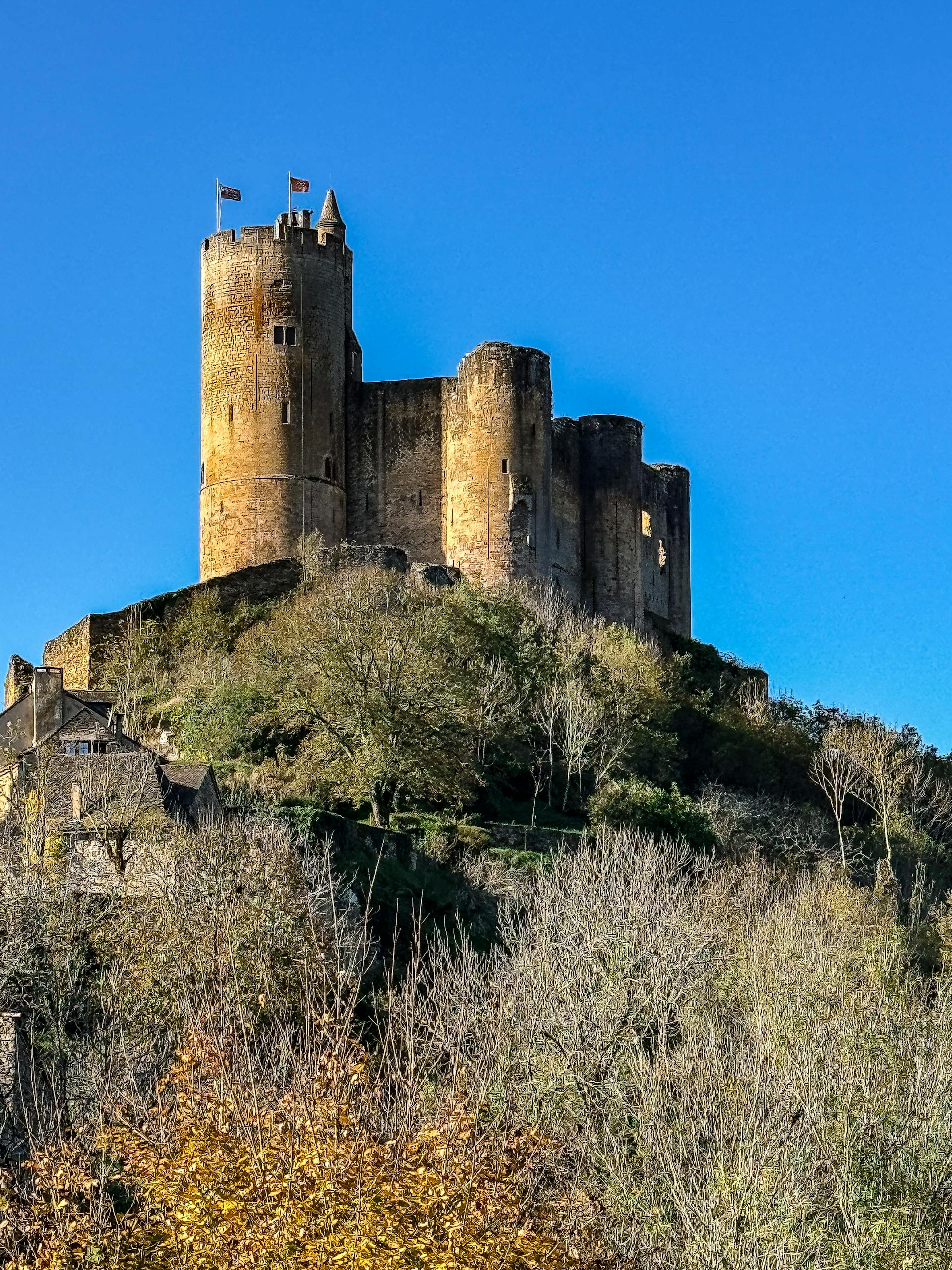
@Heritage Places, Castles & Architecture
18-Mar-2026 04 am
18-Mar-2026 04 am
This article uses text information from the Wikipedia article – Castle_of_Cardona – [Wikipedia-Article-Link: https://en.wikipedia.org/wiki/Castle_of_Cardona ] which is released under the -- Creative Commons Attribution-ShareAlike 4.0 License – [License-Link: https://creativecommons.org/licenses/by-sa/4.0/deed.en ( https://en.wikipedia.org/wiki/Wikipedia:Text_of_the_Creative_Commons_Attribution-ShareAlike_4.0_International_License )] and additional terms may apply. [List of Principal Authors (5 or less) of the Wikipedia-Article on the date of this Article being Created in this Website: - Erudy, AukusRuckus, Ferclopedio, Cybergoth, Technopat] [Use the following Authorship tool to find out the author contributions:- https://xtools.wmcloud.org/authorship ] [The Current Article on this Website has been paraphrased from the above linked corresponding Wikipedia-Article and You may redistribute this, verbatim or modified, provided that you comply with the terms of the Creative Commons Attribution-ShareAlike 4.0 License] [License-Link: https://creativecommons.org/licenses/by-sa/4.0/deed.en ( https://en.wikipedia.org/wiki/Wikipedia:Text_of_the_Creative_Commons_Attribution-ShareAlike_4.0_International_License )]
[Image: The Castle of Cardona in Catalonia, Spain; Image-Author: Manuel Torres Garcia] [Image-Source-Link: https://www.pexels.com/photo/the-castle-of-cardona-in-catalonia-spain-11358125/ ] [License-Link: https://www.pexels.com/license/ ] [Please Also Relate to Original Individual Text and Image URLs for More Usage Property and Sharing, Remixing or Attributing the Contents]
[Contents on Wikipedia is covered by – Disclaimer – [Wikipedia-Disclaimer-Link : https://en.wikipedia.org/wiki/Wikipedia:General_disclaimer ] [Contents in this Website is also covered by Disclaimer linked at the bottom of the Page] [This website article means no intellectual appropriation by any way and only wishes to contribute in sharing of knowledge]
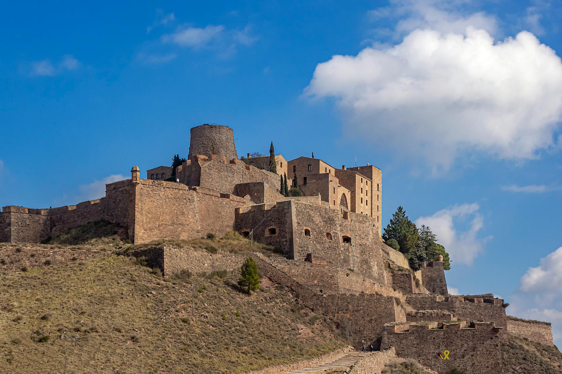
@Mythology, Legends, Folklore and Mysterious Things
15-Mar-2026 09 pm
15-Mar-2026 09 pm
This article uses text information from the Wikipedia article – Hagen_(legend) – [Wikipedia-Article-Link: https://en.wikipedia.org/wiki/Hagen_(legend) ] which is released under the -- Creative Commons Attribution-ShareAlike 4.0 License – [License-Link: https://creativecommons.org/licenses/by-sa/4.0/deed.en ( https://en.wikipedia.org/wiki/Wikipedia:Text_of_the_Creative_Commons_Attribution-ShareAlike_4.0_International_License )] [List of Principal Authors (5 or less) of the Wikipedia-Article on the date of this Article being Created in this Website: - 86.145.222.213, Jallan, Aristophanes68, 80.147.190.79, Tanline666] [Use the following Authorship tool to find out the author contributions:- https://xtools.wmcloud.org/authorship ] [The Current Article on this Website has been paraphrased from the above linked corresponding Wikipedia-Article and You may redistribute this, verbatim or modified, provided that you comply with the terms of the Creative Commons Attribution-ShareAlike 4.0 License] [License-Link: https://creativecommons.org/licenses/by-sa/4.0/deed.en ( https://en.wikipedia.org/wiki/Wikipedia:Text_of_the_Creative_Commons_Attribution-ShareAlike_4.0_International_License )]
This article also uses an image from the Wikipedia article – Hagen_(legend) – [Wikipedia-Article-Link: https://en.wikipedia.org/wiki/Hagen_(legend) ] [Image: The Dwarf Alberich talks to Hagen (1911, Description: Swear to me, Hagen, my son!) by Arthur Rackham (1867–1939)] [Wikipedia-Image-Link: https://en.wikipedia.org/wiki/File:Siegfried_and_the_Twilight_of_the_Gods_p_138.jpg ] [This work is in the public domain in its country of origin and other countries and areas where the copyright term is the life of author plus 70 years or fewer. This work is in the public domain in the United States because it was published (or registered with the U.S. Copyright Office) before January 1, 1931. ][Please Also Relate to Original Individual Text and Image URLs for More Usage Property and Sharing, Remixing or Attributing the Contents]
[Contents on Wikipedia is covered by – Disclaimer – Wikipedia-Disclaimer-Link: https://en.wikipedia.org/wiki/Wikipedia:General_disclaimer ] [Contents in this Website is also covered by Disclaimer linked at the bottom of the Page] [This website article means no intellectual appropriation by any way and only wishes to contribute in sharing of knowledge]
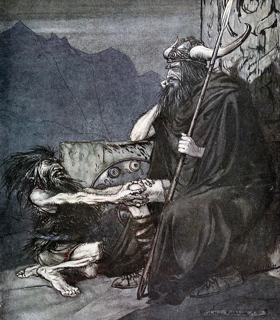
@Heritage Places, Castles & Architecture
15-Mar-2026 03 am
15-Mar-2026 03 am
This article uses text information from the Wikipedia article – Forte_di_San_Leo – [Wikipedia-Article-Link: https://en.wikipedia.org/wiki/Forte_di_San_Leo ] which is released under the -- Creative Commons Attribution-ShareAlike 4.0 License – [License-Link: https://creativecommons.org/licenses/by-sa/4.0/deed.en ( https://en.wikipedia.org/wiki/Wikipedia:Text_of_the_Creative_Commons_Attribution-ShareAlike_4.0_International_License )][Use the following Authorship tool to find out the author contributions:- https://xtools.wmcloud.org/authorship ] [The Current Article on this Website has been paraphrased from the above linked corresponding Wikipedia-Article and You may redistribute this, verbatim or modified, provided that you comply with the terms of the Creative Commons Attribution-ShareAlike 4.0 License] [License-Link: https://creativecommons.org/licenses/by-sa/4.0/deed.en ( https://en.wikipedia.org/wiki/Wikipedia:Text_of_the_Creative_Commons_Attribution-ShareAlike_4.0_International_License )]
[Image: Drone Shot of the Fortress of San Leo in San Leo, Romagna, Italy; Image-Author: DeLuca G] [Image-Source-Link: https://www.pexels.com/photo/drone-shot-of-the-fortress-of-san-leo-in-san-leo-romagna-italy-24644685/ ] [License-Link: https://www.pexels.com/license/ ] [Please Also Relate to Original Individual Text and Image URLs for More Usage Property and Sharing, Remixing or Attributing the Contents]
[Contents on Wikipedia is covered by – Disclaimer – [Wikipedia-Disclaimer-Link : https://en.wikipedia.org/wiki/Wikipedia:General_disclaimer ] [Contents in this Website is also covered by Disclaimer linked at the bottom of the Page] [This website article means no intellectual appropriation by any way and only wishes to contribute in sharing of knowledge]
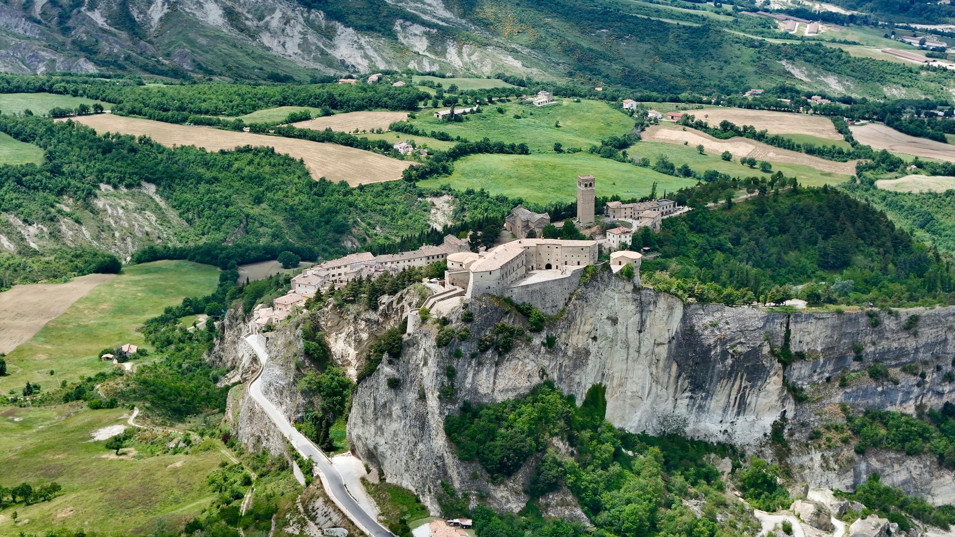
@Heritage Places, Castles & Architecture
13-Mar-2026 05 am
13-Mar-2026 05 am
This article uses text information from the Wikipedia article – Liebenzell_Castle – [Wikipedia-Article-Link: https://en.wikipedia.org/wiki/Liebenzell_Castle ] which is released under the -- Creative Commons Attribution-ShareAlike 4.0 License – [License-Link: https://creativecommons.org/licenses/by-sa/4.0/deed.en ( https://en.wikipedia.org/wiki/Wikipedia:Text_of_the_Creative_Commons_Attribution-ShareAlike_4.0_International_License )] [List of Principal Authors (5 or less) of the Wikipedia-Article on the date of this Article being Created in this Website: - Bermicourt, AnomieBOT, Vami IV, DB1729, Keith D] [Use the following Authorship tool to find out the author contributions:- https://xtools.wmcloud.org/authorship ] [The Current Article on this Website has been paraphrased from the above linked corresponding Wikipedia-Article and You may redistribute this, verbatim or modified, provided that you comply with the terms of the Creative Commons Attribution-ShareAlike 4.0 License] [License-Link: https://creativecommons.org/licenses/by-sa/4.0/deed.en ( https://en.wikipedia.org/wiki/Wikipedia:Text_of_the_Creative_Commons_Attribution-ShareAlike_4.0_International_License )]
[Image: Liebenzell Castle in Germany; Image-Author: Joerg Hartmann] [Image-Source-Link: https://www.pexels.com/photo/liebenzell-castle-in-germany-20454167/ ] [License-Link: https://www.pexels.com/license/ ] [Please Also Relate to Original Individual Text and Image URLs for More Usage Property and Sharing, Remixing or Attributing the Contents] [Contents on Wikipedia is covered by – Disclaimer – [Wikipedia-Disclaimer-Link : https://en.wikipedia.org/wiki/Wikipedia:General_disclaimer ] [Contents in this Website is also covered by Disclaimer linked at the bottom of the Page] [This website article means no intellectual appropriation by any way and only wishes to contribute in sharing of knowledge]
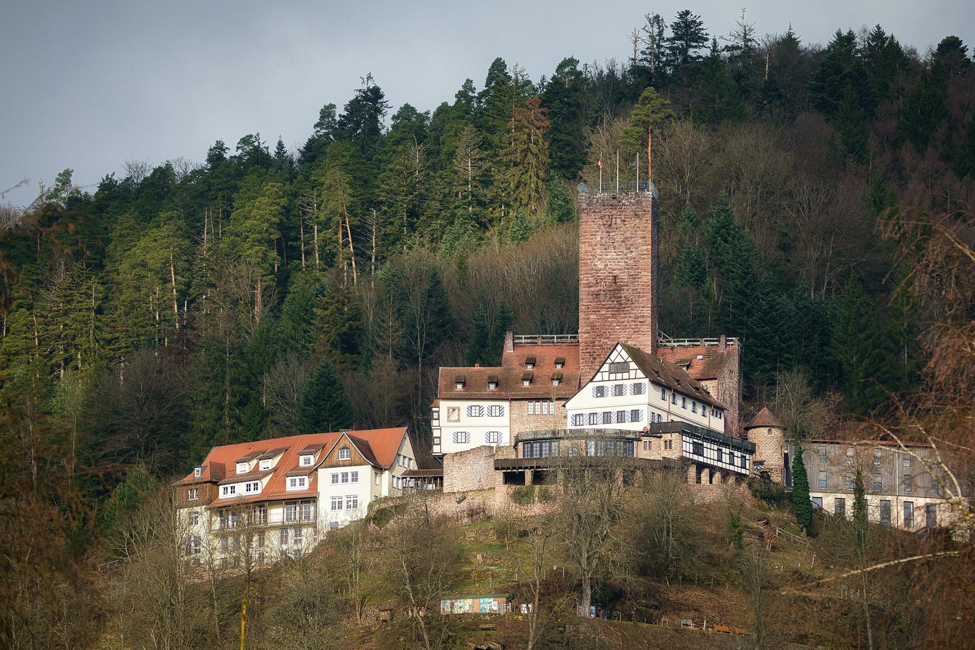
@Heritage Places, Castles & Architecture
13-Mar-2026 12 am
13-Mar-2026 12 am
This article uses text information from the Wikipedia article – Konark_Sun_Temple – [Wikipedia-Article-Link: https://en.wikipedia.org/wiki/Konark_Sun_Temple ] which is released under the -- Creative Commons Attribution-ShareAlike 4.0 License – [License-Link: https://creativecommons.org/licenses/by-sa/4.0/deed.en ( https://en.wikipedia.org/wiki/Wikipedia:Text_of_the_Creative_Commons_Attribution-ShareAlike_4.0_International_License )] [List of Principal Authors (5 or less) of the Wikipedia-Article on the date of this Article being Created in this Website: - Ms Sarah Welch, Billjones94, Kenfyre, Soumendradhanee, Corinne] [Use the following Authorship tool to find out the author contributions:- https://xtools.wmcloud.org/authorship ] [The Current Article on this Website has been paraphrased from the above linked corresponding Wikipedia-Article and You may redistribute this, verbatim or modified, provided that you comply with the terms of the Creative Commons Attribution-ShareAlike 4.0 License] [License-Link: https://creativecommons.org/licenses/by-sa/4.0/deed.en ( https://en.wikipedia.org/wiki/Wikipedia:Text_of_the_Creative_Commons_Attribution-ShareAlike_4.0_International_License )]
[Image: Facade of ancient Hindu temple with ornamental decor; Image-Author: Rahul Pandit] [Image-Source-Link: https://www.pexels.com/photo/facade-of-ancient-hindu-temple-with-ornamental-decor-6040175/ ] [License-Link: https://www.pexels.com/license/ ] [Please Also Relate to Original Individual Text and Image URLs for More Usage Property and Sharing, Remixing or Attributing the Contents] [Contents on Wikipedia is covered by – Disclaimer – [Wikipedia-Disclaimer-Link : https://en.wikipedia.org/wiki/Wikipedia:General_disclaimer ] [Contents in this Website is also covered by Disclaimer linked at the bottom of the Page] [This website article means no intellectual appropriation by any way and only wishes to contribute in sharing of knowledge]
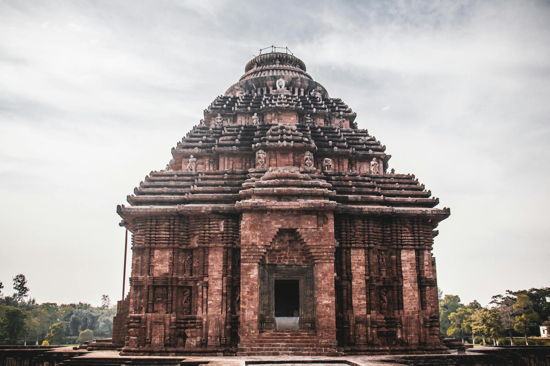
@Heritage Places, Castles & Architecture
11-Mar-2026 03 am
11-Mar-2026 03 am
This article uses text information from the Wikipedia article – Bled_Castle – [Wikipedia-Article-Link: https://en.wikipedia.org/wiki/Bled_Castle ] which is released under the -- Creative Commons Attribution-ShareAlike 4.0 License – [License-Link: https://creativecommons.org/licenses/by-sa/4.0/deed.en ( https://en.wikipedia.org/wiki/Wikipedia:Text_of_the_Creative_Commons_Attribution-ShareAlike_4.0_International_License )] [List of Principal Authors (5 or less) of the Wikipedia-Article on the date of this Article being Created in this Website: - TadejM, Dino Bizjak, Knewdates, Pinky sl, 92.225.111.135] [Use the following Authorship tool to find out the author contributions:- https://xtools.wmcloud.org/authorship ] [The Current Article on this Website has been paraphrased from the above linked corresponding Wikipedia-Article and You may redistribute this, verbatim or modified, provided that you comply with the terms of the Creative Commons Attribution-ShareAlike 4.0 License] [License-Link: https://creativecommons.org/licenses/by-sa/4.0/deed.en ( https://en.wikipedia.org/wiki/Wikipedia:Text_of_the_Creative_Commons_Attribution-ShareAlike_4.0_International_License )]
[Image: Majestic Bled Castle on Clifftop in Slovenia; Image-Author: Necmettin Rauf Ceviz] [Image-Source-Link: https://www.pexels.com/photo/majestic-bled-castle-on-clifftop-in-slovenia-32363624/ ] [License-Link: https://www.pexels.com/license/ ] [Please Also Relate to Original Individual Text and Image URLs for More Usage Property and Sharing, Remixing or Attributing the Contents] [Contents on Wikipedia is covered by – Disclaimer – [Wikipedia-Disclaimer-Link : https://en.wikipedia.org/wiki/Wikipedia:General_disclaimer ] [Contents in this Website is also covered by Disclaimer linked at the bottom of the Page] [This website article means no intellectual appropriation by any way and only wishes to contribute in sharing of knowledge]
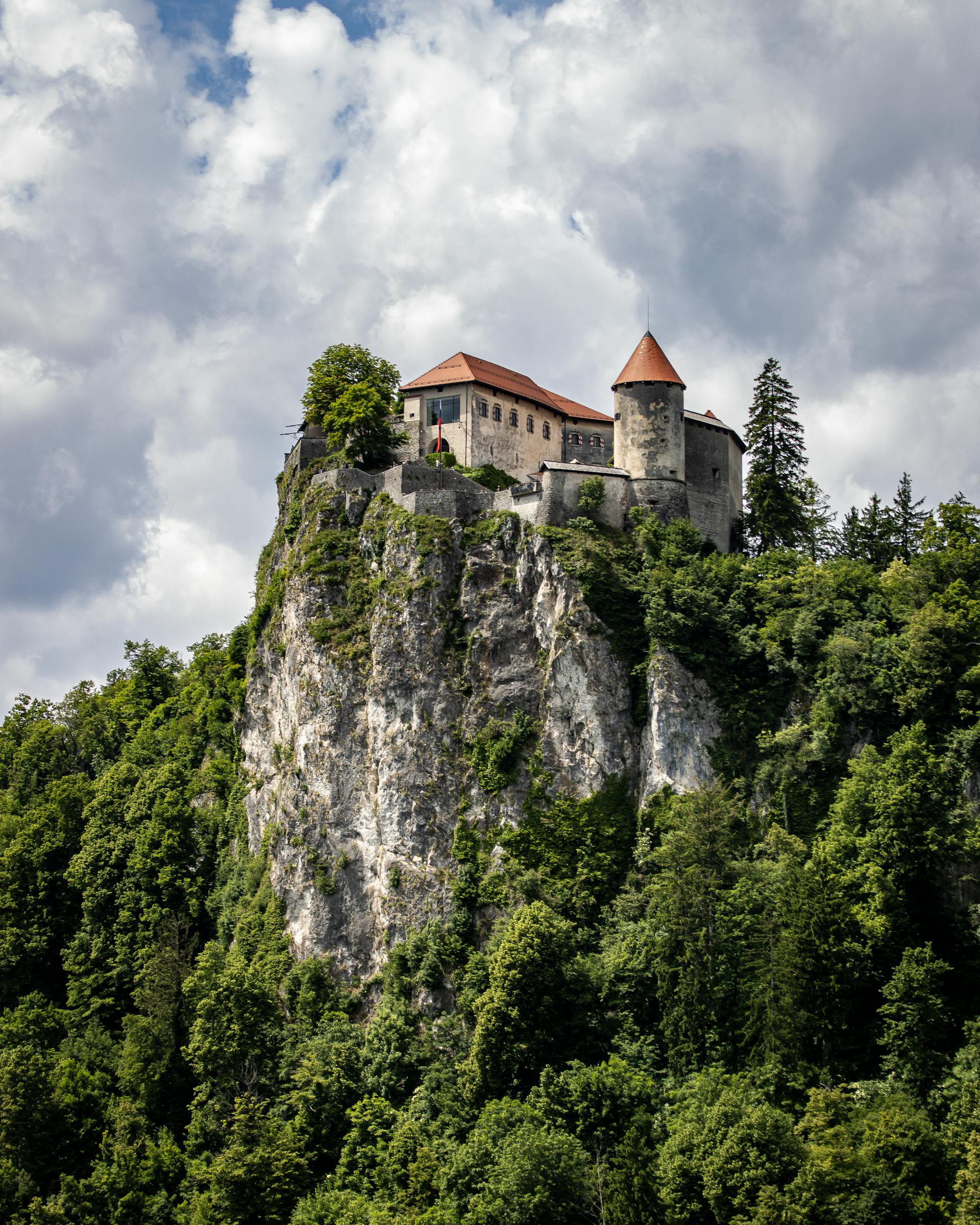
@Mythology, Legends, Folklore and Mysterious Things
08-Mar-2026 03 am
08-Mar-2026 03 am
This article uses text information from the Wikipedia article – Höðr – [Wikipedia-Article-Link: https://en.wikipedia.org/wiki/H%C3%B6%C3%B0r ] which is released under the -- Creative Commons Attribution-ShareAlike 4.0 License – [License-Link: https://creativecommons.org/licenses/by-sa/4.0/deed.en ( https://en.wikipedia.org/wiki/Wikipedia:Text_of_the_Creative_Commons_Attribution-ShareAlike_4.0_International_License )] [List of Principal Authors (5 or less) of the Wikipedia-Article on the date of this Article being Created in this Website: - Haukurth, Supermorff, TylerBurden, Yngvadottir, Lotje] [Use the following Authorship tool to find out the author contributions:- https://xtools.wmcloud.org/authorship ] [The Current Article on this Website has been paraphrased from the above linked corresponding Wikipedia-Article and You may redistribute this, verbatim or modified, provided that you comply with the terms of the Creative Commons Attribution-ShareAlike 4.0 License] [License-Link: https://creativecommons.org/licenses/by-sa/4.0/deed.en ( https://en.wikipedia.org/wiki/Wikipedia:Text_of_the_Creative_Commons_Attribution-ShareAlike_4.0_International_License )]
This article also uses an image from the Wikipedia article – Höðr – [Wikipedia-Article-Link: https://en.wikipedia.org/wiki/H%C3%B6%C3%B0r ] [Image: The little spring of mistletoe pierced the heart of Balder (published 1908, Illustrating the death of Baldr) by George Wright (1872-1951)] [Wikipedia-Image-Link: https://en.wikipedia.org/wiki/File:Death_of_Baldr_by_George_Wright.jpg ] [This media file is in the public domain in the United States. This applies to U.S. works where the copyright has expired, often because its first publication occurred prior to January 1, 1931, and if not then due to lack of notice or renewal. This image might not be in the public domain outside of the United States; this especially applies in the countries and areas that do not apply the rule of the shorter term for US works. The creator and year of publication are essential information and must be provided. ][Please Also Relate to Original Individual Text and Image URLs for More Usage Property and Sharing, Remixing or Attributing the Contents]
[Contents on Wikipedia is covered by – Disclaimer – Wikipedia-Disclaimer-Link: https://en.wikipedia.org/wiki/Wikipedia:General_disclaimer ] [Contents in this Website is also covered by Disclaimer linked at the bottom of the Page] [This website article means no intellectual appropriation by any way and only wishes to contribute in sharing of knowledge]
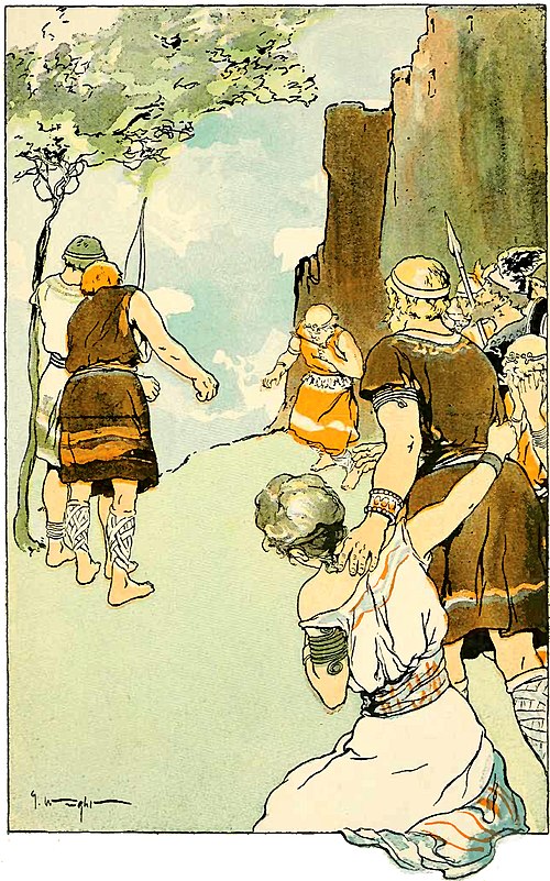
@Heritage Places, Castles & Architecture
04-Mar-2026 11 pm
04-Mar-2026 11 pm
This article uses text information from the Wikipedia article – Peyrepertuse – [Wikipedia-Article-Link: https://en.wikipedia.org/wiki/Peyrepertuse ] which is released under the -- Creative Commons Attribution-ShareAlike 4.0 License – [License-Link: https://creativecommons.org/licenses/by-sa/4.0/deed.en ( https://en.wikipedia.org/wiki/Wikipedia:Text_of_the_Creative_Commons_Attribution-ShareAlike_4.0_International_License )] [List of Principal Authors (5 or less) of the Wikipedia-Article on the date of this Article being Created in this Website: - Adelaide1600, Filiep, Emeraude, Morningstar1814, ManyFireflies] [Use the following Authorship tool to find out the author contributions:- https://xtools.wmcloud.org/authorship ] [The Current Article on this Website has been paraphrased from the above linked corresponding Wikipedia-Article and You may redistribute this, verbatim or modified, provided that you comply with the terms of the Creative Commons Attribution-ShareAlike 4.0 License] [License-Link: https://creativecommons.org/licenses/by-sa/4.0/deed.en ( https://en.wikipedia.org/wiki/Wikipedia:Text_of_the_Creative_Commons_Attribution-ShareAlike_4.0_International_License )]
[Image: Historic Peyrepertuse Castle in the Pyrenees; Image-Author: juv] [Image-Source-Link: https://www.pexels.com/photo/historic-peyrepertuse-castle-in-the-pyrenees-32521582/ ] [License-Link: https://www.pexels.com/license/ ] [Please Also Relate to Original Individual Text and Image URLs for More Usage Property and Sharing, Remixing or Attributing the Contents]
[Contents on Wikipedia is covered by – Disclaimer – [Wikipedia-Disclaimer-Link : https://en.wikipedia.org/wiki/Wikipedia:General_disclaimer ] [Contents in this Website is also covered by Disclaimer linked at the bottom of the Page] [This website article means no intellectual appropriation by any way and only wishes to contribute in sharing of knowledge]
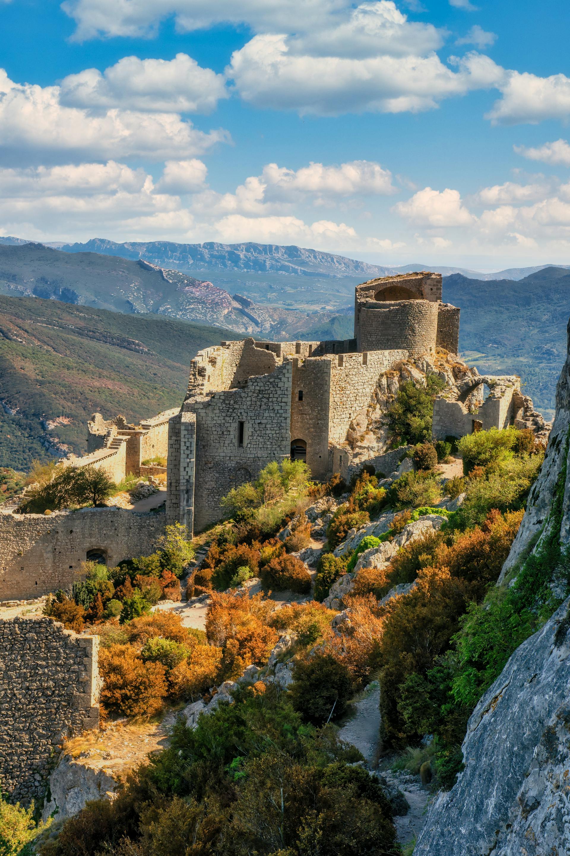
@Heritage Places, Castles & Architecture
03-Mar-2026 12 am
03-Mar-2026 12 am
This article uses text information from the Wikipedia article – Trenčín_Castle – [Wikipedia-Article-Link: https://en.wikipedia.org/wiki/Tren%C4%8D%C3%ADn_Castle ] which is released under the -- Creative Commons Attribution-ShareAlike 4.0 License – [License-Link: https://creativecommons.org/licenses/by-sa/4.0/deed.en ( https://en.wikipedia.org/wiki/Wikipedia:Text_of_the_Creative_Commons_Attribution-ShareAlike_4.0_International_License )] [List of Principal Authors (5 or less) of the Wikipedia-Article on the date of this Article being Created in this Website: - Marek. kvackaj, Lucullus19, Evrik, Vlendert, Tankred] [Use the following Authorship tool to find out the author contributions:- https://xtools.wmcloud.org/authorship ] [The Current Article on this Website has been paraphrased from the above linked corresponding Wikipedia-Article and You may redistribute this, verbatim or modified, provided that you comply with the terms of the Creative Commons Attribution-ShareAlike 4.0 License] [License-Link: https://creativecommons.org/licenses/by-sa/4.0/deed.en ( https://en.wikipedia.org/wiki/Wikipedia:Text_of_the_Creative_Commons_Attribution-ShareAlike_4.0_International_License )]
[Image: Aerial View of the Trencin Castle, Slovakia; Image-Author: Arnis Rascal] [Image-Source-Link: https://www.pexels.com/photo/aerial-view-of-the-trencin-castle-slovakia-10241225/ ] [License-Link: https://www.pexels.com/license/ ] [Please Also Relate to Original Individual Text and Image URLs for More Usage Property and Sharing, Remixing or Attributing the Contents] [Contents on Wikipedia is covered by – Disclaimer – [Wikipedia-Disclaimer-Link: https://en.wikipedia.org/wiki/Wikipedia:General_disclaimer ]] [Contents in this Website is also covered by Disclaimer linked at the bottom of the Page] [This website article means no intellectual appropriation by any way and only wishes to contribute in sharing of knowledge]
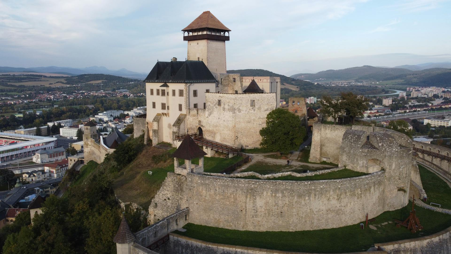
@Mythology, Legends, Folklore and Mysterious Things
01-Mar-2026 09 pm
01-Mar-2026 09 pm
This article uses text information from the Wikipedia article – Hagbard_and_Signy – [Wikipedia-Article-Link: https://en.wikipedia.org/wiki/Hagbard_and_Signy ] which is released under the -- Creative Commons Attribution-ShareAlike 4.0 License – [License-Link: https://creativecommons.org/licenses/by-sa/4.0/deed.en ( https://en.wikipedia.org/wiki/Wikipedia:Text_of_the_Creative_Commons_Attribution-ShareAlike_4.0_International_License )] [List of Principal Authors (5 or less) of the Wikipedia-Article on the date of this Article being Created in this Website: - Wiglaf, Berig, InternetArchiveBot, Radagast83, K kisses] [Use the following Authorship tool to find out the author contributions:- https://xtools.wmcloud.org/authorship ] [The Current Article on this Website has been paraphrased from the above linked corresponding Wikipedia-Article and You may redistribute this, verbatim or modified, provided that you comply with the terms of the Creative Commons Attribution-ShareAlike 4.0 License] [License-Link: https://creativecommons.org/licenses/by-sa/4.0/deed.en ( https://en.wikipedia.org/wiki/Wikipedia:Text_of_the_Creative_Commons_Attribution-ShareAlike_4.0_International_License )]
This article also uses an image from the Wikipedia article – Hagbard_and_Signy – [Wikipedia-Article-Link: https://en.wikipedia.org/wiki/Hagbard_and_Signy ] [Image: Signy and Hagbard by Josef Wilhelm Wallander (1821–1888)] [Wikipedia-Image-Link: https://en.wikipedia.org/wiki/File:Signhild.jpg ] [This work is in the public domain in its country of origin and other countries and areas where the copyright term is the life of author plus 70 years or fewer. The work is also believed to be in the Public Domain in the United States as well. ][Please Also Relate to Original Individual Text and Image URLs for More Usage Property and Sharing, Remixing or Attributing the Contents]
[Contents on Wikipedia is covered by – Disclaimer – Wikipedia-Disclaimer-Link: https://en.wikipedia.org/wiki/Wikipedia:General_disclaimer ] [Contents in this Website is also covered by Disclaimer linked at the bottom of the Page] [This website article means no intellectual appropriation by any way and only wishes to contribute in sharing of knowledge]
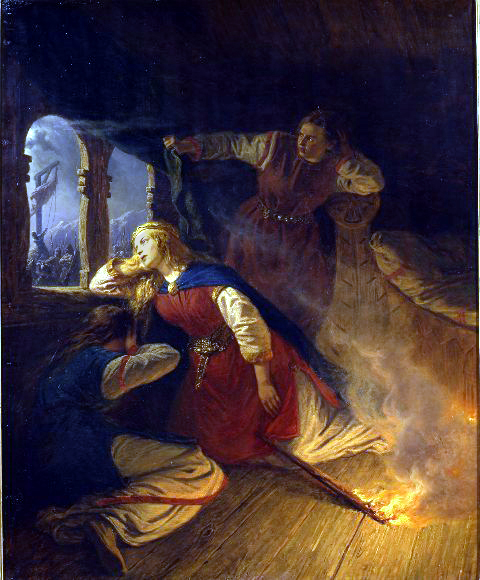
@Mythology, Legends, Folklore and Mysterious Things
27-Feb-2026 10 pm
27-Feb-2026 10 pm
This article uses text information from the Wikipedia article – Yngvi – [Wikipedia-Article-Link: https://en.wikipedia.org/wiki/Yngvi ] which is released under the -- Creative Commons Attribution-ShareAlike 4.0 License – [License-Link: https://creativecommons.org/licenses/by-sa/4.0/deed.en ( https://en.wikipedia.org/wiki/Wikipedia:Text_of_the_Creative_Commons_Attribution-ShareAlike_4.0_International_License )] [List of Principal Authors (5 or less) of the Wikipedia-Article on the date of this Article being Created in this Website: - Dbachmann, Jallan, Malcolm77, Berig, 75.108.143.249] [Use the following Authorship tool to find out the author contributions:- https://xtools.wmcloud.org/authorship ] [The Current Article on this Website has been paraphrased from the above linked corresponding Wikipedia-Article and You may redistribute this, verbatim or modified, provided that you comply with the terms of the Creative Commons Attribution-ShareAlike 4.0 License] [License-Link: https://creativecommons.org/licenses/by-sa/4.0/deed.en ( https://en.wikipedia.org/wiki/Wikipedia:Text_of_the_Creative_Commons_Attribution-ShareAlike_4.0_International_License )]
This article also uses an image from the Wikipedia article – Yngvi – [Wikipedia-Article-Link: https://en.wikipedia.org/wiki/Yngvi ] [Image: Yngve Frey bygger Gamla Upsala tempel (Etching by Hugo Hamilton (1802–1871), depicting Yngvi-Freyr building the Uppsala temple. );] [Wikipedia-Image-Link: https://en.wikipedia.org/wiki/File:Yngve_Frey_bygger_Gamla_Upsala_tempel_by_Hugo_Hamilton.jpg ] [This work is in the public domain in its country of origin and other countries and areas where the copyright term is the life of author plus 70 years or fewer. The work is also believed to be in the Public Domain in the United States as well. ][Please Also Relate to Original Individual Text and Image URLs for More Usage Property and Sharing, Remixing or Attributing the Contents]
[Contents on Wikipedia is covered by – Disclaimer – Wikipedia-Disclaimer-Link: https://en.wikipedia.org/wiki/Wikipedia:General_disclaimer ] [Contents in this Website is also covered by Disclaimer linked at the bottom of the Page] [This website article means no intellectual appropriation by any way and only wishes to contribute in sharing of knowledge]
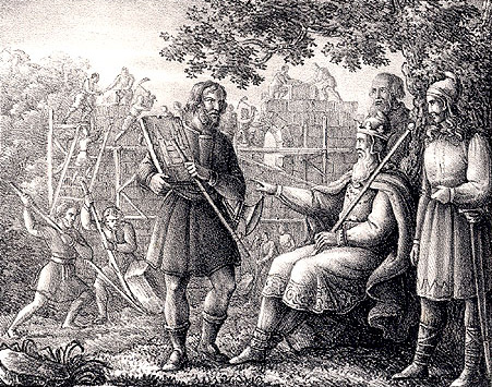
@Heritage Places, Castles & Architecture
27-Feb-2026 03 am
27-Feb-2026 03 am
This article uses text information from the Wikipedia article – Hohenwerfen_Castle – [Wikipedia-Article-Link: https://en.wikipedia.org/wiki/Hohenwerfen_Castle ] which is released under the -- Creative Commons Attribution-ShareAlike 4.0 License – [License-Link: https://creativecommons.org/licenses/by-sa/4.0/deed.en ( https://en.wikipedia.org/wiki/Wikipedia:Text_of_the_Creative_Commons_Attribution-ShareAlike_4.0_International_License )] [List of Principal Authors (5 or less) of the Wikipedia-Article on the date of this Article being Created in this Website: - Waxworker, Keallu, Velocitom, 92.225.108.54, 92.225.121.120] [Use the following Authorship tool to find out the author contributions:- https://xtools.wmcloud.org/authorship ] [The Current Article on this Website has been paraphrased from the above linked corresponding Wikipedia-Article and You may redistribute this, verbatim or modified, provided that you comply with the terms of the Creative Commons Attribution-ShareAlike 4.0 License] [License-Link: https://creativecommons.org/licenses/by-sa/4.0/deed.en ( https://en.wikipedia.org/wiki/Wikipedia:Text_of_the_Creative_Commons_Attribution-ShareAlike_4.0_International_License )]
[Image: Misty Hohenwerfen Castle in Austrian Alps; Image-Author: Karolina] [Image-Source-Link: https://www.pexels.com/photo/misty-hohenwerfen-castle-in-austrian-alps-29223328/ ] [License-Link: https://www.pexels.com/license/ ] [Please Also Relate to Original Individual Text and Image URLs for More Usage Property and Sharing, Remixing or Attributing the Contents] [Contents on Wikipedia is covered by – Disclaimer – [Wikipedia-Disclaimer-Link: https://en.wikipedia.org/wiki/Wikipedia:General_disclaimer ]] [Contents in this Website is also covered by Disclaimer linked at the bottom of the Page] [This website article means no intellectual appropriation by any way and only wishes to contribute in sharing of knowledge]
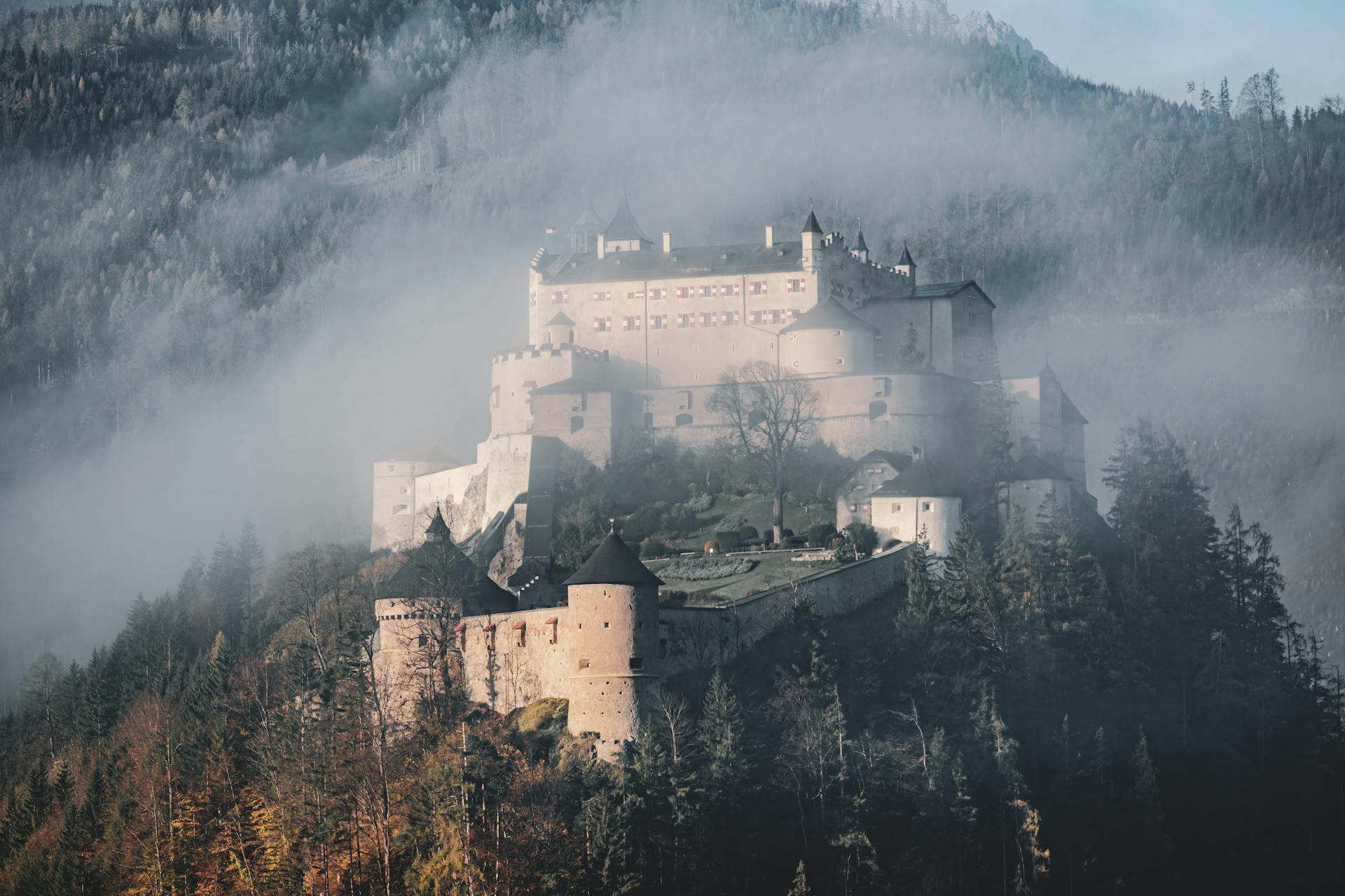
@Heritage Places, Castles & Architecture
26-Feb-2026 04 am
26-Feb-2026 04 am
This article uses text information from the Wikipedia article -- Brú_na_Bóinne -- [Wikipedia-Article-Link: https://en.wikipedia.org/wiki/Br%C3%BA_na_B%C3%B3inne ] which is released under the -- Creative Commons Attribution-ShareAlike 4.0 License – [License-Link: https://creativecommons.org/licenses/by-sa/4.0/deed.en ( https://en.wikipedia.org/wiki/Wikipedia:Text_of_the_Creative_Commons_Attribution-ShareAlike_4.0_International_License )] [List of Principal Authors (5 or less) of the Wikipedia-Article on the date of this Article being Created in this Website: - Drow69, Asarlaí, Adamsan, Bogger, Speakingofcake] [Use the following Authorship tool to find out the author contributions:- https://xtools.wmcloud.org/authorship ] [The Current Article on this Website has been paraphrased from the above linked corresponding Wikipedia-Article and You may redistribute this, verbatim or modified, provided that you comply with the terms of the Creative Commons Attribution-ShareAlike 4.0 License] [License-Link: https://creativecommons.org/licenses/by-sa/4.0/deed.en ( https://en.wikipedia.org/wiki/Wikipedia:Text_of_the_Creative_Commons_Attribution-ShareAlike_4.0_International_License )]
This article also uses an image from the Wikipedia article -- Brú_na_Bóinne -- [Wikipedia-Article-Link: https://en.wikipedia.org/wiki/Br%C3%BA_na_B%C3%B3inne ] [Image: Gaeilge: Knowth Passage Tomb; Wikipedia-Image-Author: AndieW] [Wikipedia-Image-Link: https://en.wikipedia.org/wiki/File:Knowth_passage_tomb_5.jpg ] [Image Availed Under Creative Commons Attribution-Share Alike 4.0 International license] [License-Link: https://creativecommons.org/licenses/by-sa/4.0/deed.en ] [You may copy, distribute and transmit the work (image) or share (alike) the work (image), provided that you comply with the terms of the Creative Commons Attribution-Share Alike 4.0 International license or other compatible license in distribution] [License-Link: https://creativecommons.org/licenses/by-sa/4.0/deed.en ] [Please Also Relate to Original Individual Text and Image URLs for More Usage Property and Sharing, Remixing or Attributing the Contents] [Contents on Wikipedia is covered by -- Disclaimer – Wikipedia-Disclaimer-Link: https://en.wikipedia.org/wiki/Wikipedia:General_disclaimer ] [Contents in this Website is also covered by Disclaimer linked at the bottom of the Page] [This website article means no intellectual appropriation by any way and only wishes to contribute in sharing of knowledge]
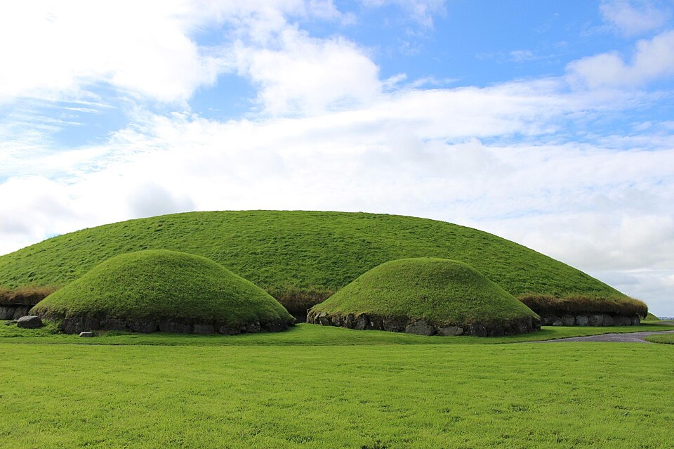
@Mythology, Legends, Folklore and Mysterious Things
25-Feb-2026 05 am
25-Feb-2026 05 am
This article uses text information from the Wikipedia article – Germanic_heroic_legend – [Wikipedia-Article-Link: https://en.wikipedia.org/wiki/Germanic_heroic_legend ] which is released under the -- Creative Commons Attribution-ShareAlike 4.0 License – [License-Link: https://creativecommons.org/licenses/by-sa/4.0/deed.en ( https://en.wikipedia.org/wiki/Wikipedia:Text_of_the_Creative_Commons_Attribution-ShareAlike_4.0_International_License )] [List of Principal Authors (5 or less) of the Wikipedia-Article on the date of this Article being Created in this Website: - Ermenrich, Srnec, Daask, Berig, Aseleste] [Use the following Authorship tool to find out the author contributions:- https://xtools.wmcloud.org/authorship ] [The Current Article on this Website has been paraphrased from the above linked corresponding Wikipedia-Article and You may redistribute this, verbatim or modified, provided that you comply with the terms of the Creative Commons Attribution-ShareAlike 4.0 License] [License-Link: https://creativecommons.org/licenses/by-sa/4.0/deed.en ( https://en.wikipedia.org/wiki/Wikipedia:Text_of_the_Creative_Commons_Attribution-ShareAlike_4.0_International_License )]
This article also uses an image from the Wikipedia article – Germanic_heroic_legend – [Wikipedia-Article-Link: https://en.wikipedia.org/wiki/Germanic_heroic_legend ] [Image: Minstrel singing of the famous deeds of heroes. Illustration from English Literature for Boys and Girls by Henrietta Elizabeth Marshall (Jack, c. 1910). Image-Author: Joseph Ratcliffe Skelton] [Wikipedia-Image-Link: https://en.wikipedia.org/wiki/File:A_minstrel_sings_of_famous_deeds_by_J._R._Skelton_c_1910.jpg ] [The Work (Image) is a faithful photographic reproduction of a two-dimensional, public domain work of art. The author died in 1927, so this work itself is in the public domain in its country of origin and other countries and areas where the copyright term is the life of author plus 95 years or fewer. This work is in the public domain in the United States because it was published (or registered with the U.S. Copyright Office) before January 1, 1931. ][Please Also Relate to Original Individual Text and Image URLs for More Usage Property and Sharing, Remixing or Attributing the Contents]
[Contents on Wikipedia is covered by – Disclaimer – Wikipedia-Disclaimer-Link: https://en.wikipedia.org/wiki/Wikipedia:General_disclaimer ] [Contents in this Website is also covered by Disclaimer linked at the bottom of the Page] [This website article means no intellectual appropriation by any way and only wishes to contribute in sharing of knowledge]
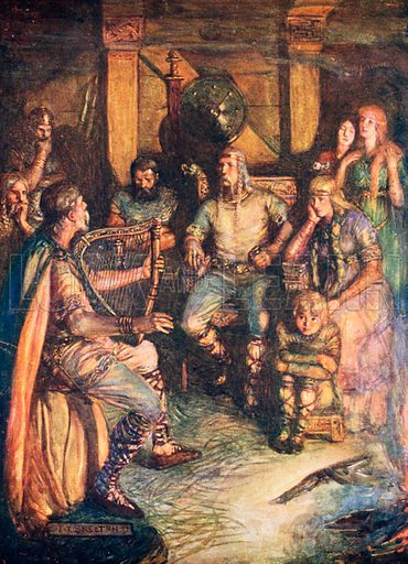
@Mythology, Legends, Folklore and Mysterious Things
24-Feb-2026 05 am
24-Feb-2026 05 am
This article uses text information from the Wikipedia article – Hervarar_saga_ok_Heiðreks – [Wikipedia-Article-Link: https://en.wikipedia.org/wiki/Hervarar_saga_ok_Hei%C3%B0reks ] which is released under the -- Creative Commons Attribution-ShareAlike 4.0 License – [License-Link: https://creativecommons.org/licenses/by-sa/4.0/deed.en ( https://en.wikipedia.org/wiki/Wikipedia:Text_of_the_Creative_Commons_Attribution-ShareAlike_4.0_International_License )] [List of Principal Authors (5 or less) of the Wikipedia-Article on the date of this Article being Created in this Website: - Xoool, Alarichall, 5.198.10.236, Wiglaf, Berig] [Use the following Authorship tool to find out the author contributions:- https://xtools.wmcloud.org/authorship ] [The Current Article on this Website has been paraphrased from the above linked corresponding Wikipedia-Article and You may redistribute this, verbatim or modified, provided that you comply with the terms of the Creative Commons Attribution-ShareAlike 4.0 License] [License-Link: https://creativecommons.org/licenses/by-sa/4.0/deed.en ( https://en.wikipedia.org/wiki/Wikipedia:Text_of_the_Creative_Commons_Attribution-ShareAlike_4.0_International_License )]
This article also uses an image from the Wikipedia article – Hervarar_saga_ok_Heiðreks – [Wikipedia-Article-Link: https://en.wikipedia.org/wiki/Hervarar_saga_ok_Hei%C3%B0reks ] [Image: Parting from Orvar Odd after the Fight on Samsö (Orvar-Odd and Hjalmar bid each other farewell) by Mårten Eskil Winge (1825–1896)] [Wikipedia-Image-Link: https://en.wikipedia.org/wiki/File:Hjalmars_avsked_av_Orvar_Odd_efter_striden_p%C3%A5_Sams%C3%B6.jpg ] [This work is in the public domain in its country of origin and other countries and areas where the copyright term is the life of author plus 100 years or fewer. The work is also believed to be in the Public Domain in the United States as well. ][Please Also Relate to Original Individual Text and Image URLs for More Usage Property and Sharing, Remixing or Attributing the Contents]
[Contents on Wikipedia is covered by – Disclaimer – Wikipedia-Disclaimer-Link: https://en.wikipedia.org/wiki/Wikipedia:General_disclaimer ] [Contents in this Website is also covered by Disclaimer linked at the bottom of the Page] [This website article means no intellectual appropriation by any way and only wishes to contribute in sharing of knowledge]
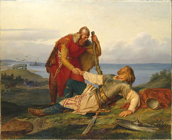
@Heritage Places, Castles & Architecture
23-Feb-2026 07 am
23-Feb-2026 07 am
This article uses text information from the Wikipedia article – Pottenstein_Castle – [Wikipedia-Article-Link: https://en.wikipedia.org/wiki/Pottenstein_Castle ] which is released under the -- Creative Commons Attribution-ShareAlike 4.0 License – [License-Link: https://creativecommons.org/licenses/by-sa/4.0/deed.en ( https://en.wikipedia.org/wiki/Wikipedia:Text_of_the_Creative_Commons_Attribution-ShareAlike_4.0_International_License )] [List of Principal Authors (5 or less) of the Wikipedia-Article on the date of this Article being Created in this Website: - Bermicourt, AnomieBOT, Yobot, Maxeto0910, PrimeBOT] [Use the following Authorship tool to find out the author contributions:- https://xtools.wmcloud.org/authorship ] [The Current Article on this Website has been paraphrased from the above linked corresponding Wikipedia-Article and You may redistribute this, verbatim or modified, provided that you comply with the terms of the Creative Commons Attribution-ShareAlike 4.0 License] [License-Link: https://creativecommons.org/licenses/by-sa/4.0/deed.en ( https://en.wikipedia.org/wiki/Wikipedia:Text_of_the_Creative_Commons_Attribution-ShareAlike_4.0_International_License )]
[Image: Birds View of Pottenstein Castle in Lush Greenery, Bavaria, Germany; Image-Author: Sabine Freiberger] [Image-Source-Link: https://www.pexels.com/photo/birds-view-of-pottenstein-castle-in-lush-greenery-bavaria-germany-17101108/ ] [License-Link: https://www.pexels.com/license/ ] [Please Also Relate to Original Individual Text and Image URLs for More Usage Property and Sharing, Remixing or Attributing the Contents] [Contents on Wikipedia is covered by – Disclaimer – [Wikipedia-Disclaimer-Link: https://en.wikipedia.org/wiki/Wikipedia:General_disclaimer ]] [Contents in this Website is also covered by Disclaimer linked at the bottom of the Page] [This website article means no intellectual appropriation by any way and only wishes to contribute in sharing of knowledge]
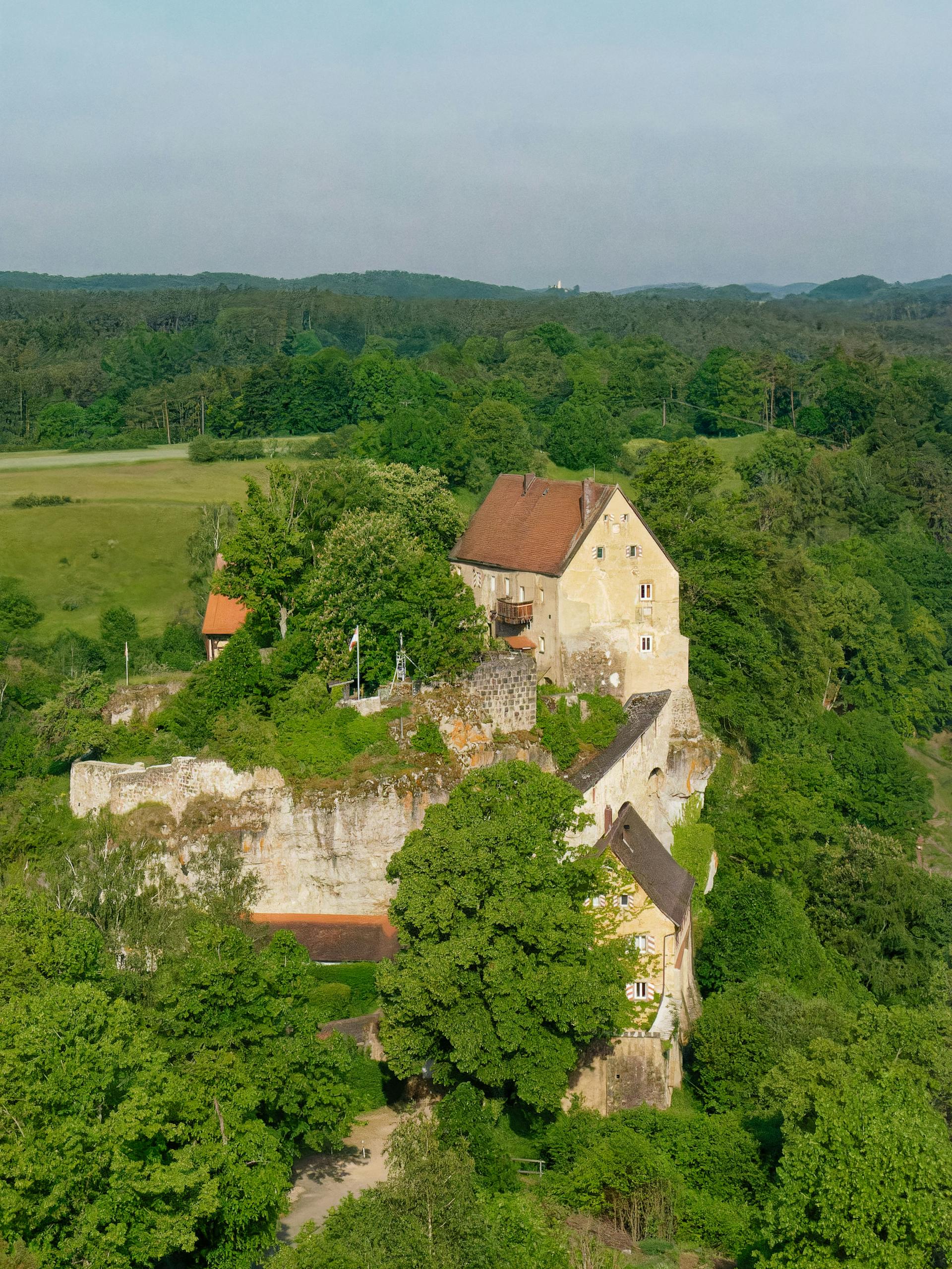
@Historical Events
22-Feb-2026 07 am
22-Feb-2026 07 am
This article uses text information from the Wikipedia article -- Chanakya -- [Wikipedia-Article-Link: https://en.wikipedia.org/wiki/Chanakya ] which is released under the -- Creative Commons Attribution-ShareAlike 4.0 License – [License-Link: https://creativecommons.org/licenses/by-sa/4.0/deed.en ( https://en.wikipedia.org/wiki/Wikipedia:Text_of_the_Creative_Commons_Attribution-ShareAlike_4.0_International_License )] [List of Principal Authors (5 or less) of the Wikipedia-Article on the date of this Article being Created in this Website: - Utcursch, Joshua Jonathan, CiteCop, FacetsOfNonStickPans, AgniKalpa] [Use the following Authorship tool to find out the author contributions:- https://xtools.wmcloud.org/authorship )] [The Current Article on this Website has been paraphrased from the above linked corresponding Wikipedia-Article and You may redistribute this, verbatim or modified, provided that you comply with the terms of the Creative Commons Attribution-ShareAlike 4.0 License] [License-Link: https://creativecommons.org/licenses/by-sa/4.0/deed.en ( https://en.wikipedia.org/wiki/Wikipedia:Text_of_the_Creative_Commons_Attribution-ShareAlike_4.0_International_License ]
[Image: AI generated art of Acharya Chanakya] [Please Also Relate to Original Individual Text and/or Image URLs (if applicable) for More Usage Property and Sharing, Remixing or Attributing the Contents] [Contents on Wikipedia is covered by -- Disclaimer – [Wikipedia-Disclaimer-Link: https://en.wikipedia.org/wiki/Wikipedia:General_disclaimer ] [Contents in this Website is also covered by Disclaimer linked at the bottom of the Page] [This website article means no intellectual appropriation by any way and only wishes to contribute in sharing of knowledge]
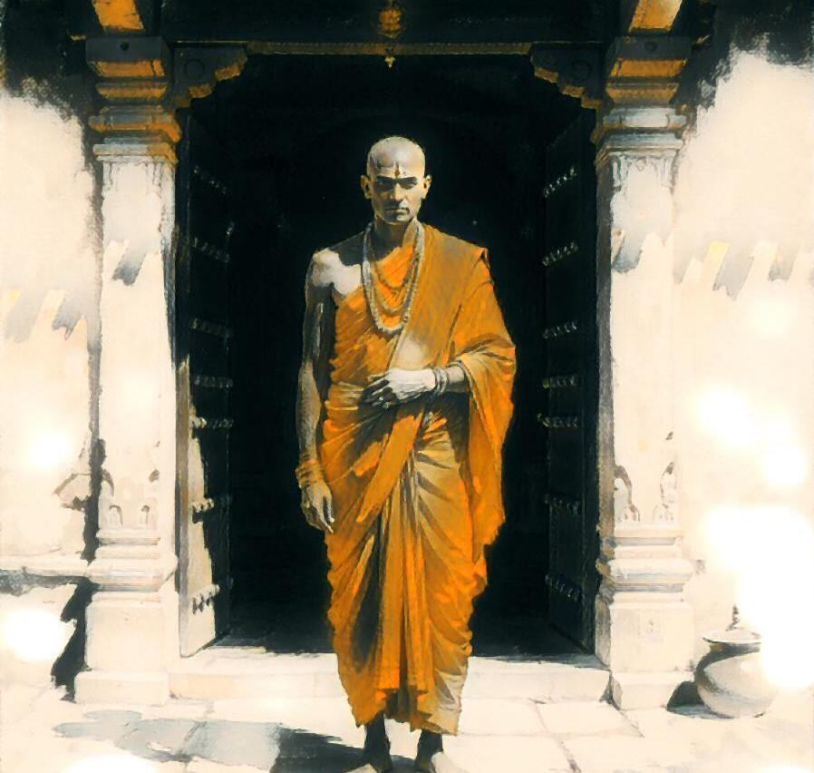
@Historical Events
21-Feb-2026 02 am
21-Feb-2026 02 am
This article uses text information from the Wikipedia article – Trajan – [Wikipedia-Article-Link: https://en.wikipedia.org/wiki/Trajan ] which is released under the -- Creative Commons Attribution-ShareAlike 4.0 License – [License-Link: https://creativecommons.org/licenses/by-sa/4.0/deed.en ( https://en.wikipedia.org/wiki/Wikipedia:Text_of_the_Creative_Commons_Attribution-ShareAlike_4.0_International_License )] [List of Principal Authors (5 or less) of the Wikipedia-Article on the date of this Article being Created in this Website: - Cerme, Kungjaada, Barjimoa, Haploidavey, 82.59.156.241] [Use the following Authorship tool to find out the author contributions:- https://xtools.wmcloud.org/authorship ] [The Current Article on this Website has been paraphrased from the above linked corresponding Wikipedia-Article and You may redistribute this, verbatim or modified, provided that you comply with the terms of the Creative Commons Attribution-ShareAlike 4.0 License] [License-Link: https://creativecommons.org/licenses/by-sa/4.0/deed.en ( https://en.wikipedia.org/wiki/Wikipedia:Text_of_the_Creative_Commons_Attribution-ShareAlike_4.0_International_License )]
This article also uses an image from the Wikipedia article – Trajan – [Wikipedia-Article-Link: https://en.wikipedia.org/wiki/Trajan ] [Image: La justice de Trajan (The Justice of Trajan, 1840) by Eugène Delacroix (1798–1863)] [Wikipedia-Image-Link: https://en.wikipedia.org/wiki/File:La_justice_de_Trajan.jpg ] [The Work (Image) is a faithful photographic reproduction of a two-dimensional, public domain work of art. The author died in 1863, so this work is in the public domain in its country of origin and other countries and areas where the copyright term is the life of author plus 100 years or fewer. This work is in the public domain in the United States because it was published (or registered with the U.S. Copyright Office) before January 1, 1931. ][Please Also Relate to Original Individual Text and Image URLs for More Usage Property and Sharing, Remixing or Attributing the Contents]
[Contents on Wikipedia is covered by – Disclaimer – Wikipedia-Disclaimer-Link: https://en.wikipedia.org/wiki/Wikipedia:General_disclaimer ] [Contents in this Website is also covered by Disclaimer linked at the bottom of the Page] [This website article means no intellectual appropriation by any way and only wishes to contribute in sharing of knowledge]
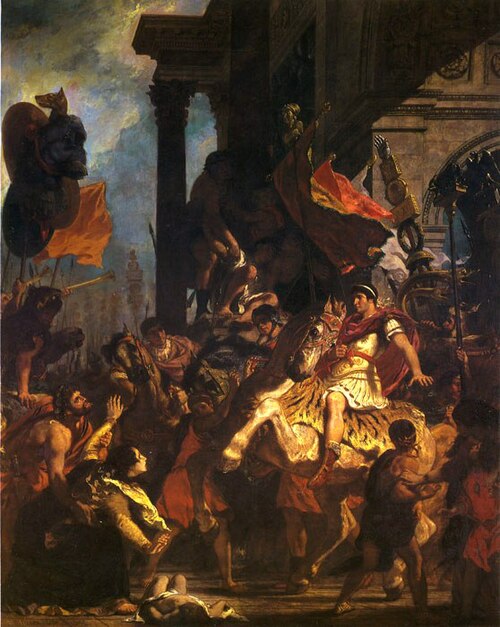
@Heritage Places, Castles & Architecture
19-Feb-2026 06 pm
19-Feb-2026 06 pm
This article uses text information from the Wikipedia article – Arch_of_Trajan_(Timgad) – [Wikipedia-Article-Link: https://en.wikipedia.org/wiki/Arch_of_Trajan_(Timgad) ] which is released under the -- Creative Commons Attribution-ShareAlike 4.0 License – [License-Link: https://creativecommons.org/licenses/by-sa/4.0/deed.en ( https://en.wikipedia.org/wiki/Wikipedia:Text_of_the_Creative_Commons_Attribution-ShareAlike_4.0_International_License )] [List of Principal Authors (5 or less) of the Wikipedia-Article on the date of this Article being Created in this Website: - Furius, Soupforone, 94.239.210.104, Cote dAzur, Nathalmad] [Use the following Authorship tool to find out the author contributions:- https://xtools.wmcloud.org/authorship ] [The Current Article on this Website has been paraphrased from the above linked corresponding Wikipedia-Article and You may redistribute this, verbatim or modified, provided that you comply with the terms of the Creative Commons Attribution-ShareAlike 4.0 License] [License-Link: https://creativecommons.org/licenses/by-sa/4.0/deed.en ( https://en.wikipedia.org/wiki/Wikipedia:Text_of_the_Creative_Commons_Attribution-ShareAlike_4.0_International_License )]
[Image: Arch of Trajan, Timgad, Ancient Thamugadi, Near Batna, Algeria; Image-Author: Djamel Ramdani] [Image_Source-Link: https://www.pexels.com/photo/arch-of-trajan-timgad-ancient-thamugadi-near-batna-algeria-8876645/ ] [License-Link: https://www.pexels.com/license/ ] [Please Also Relate to Original Individual Text and Image URLs for More Usage Property and Sharing, Remixing or Attributing the Contents] [Contents on Wikipedia is covered by -- Disclaimer – Wikipedia-Disclaimer-Link: https://en.wikipedia.org/wiki/Wikipedia:General_disclaimer ] [Contents in this Website is also covered by Disclaimer linked at the bottom of the Page] [This website article means no intellectual appropriation by any way and only wishes to contribute in sharing of knowledge]
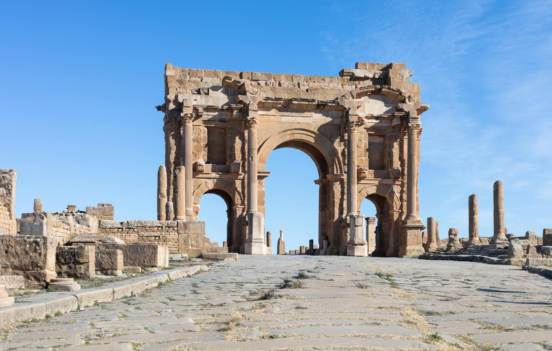
@Heritage Places, Castles & Architecture
18-Feb-2026 08 pm
18-Feb-2026 08 pm
This article uses text information from the Wikipedia article – Niederburg,_Kobern – [Wikipedia-Article-Link: https://en.wikipedia.org/wiki/Niederburg,_Kobern ] which is released under the -- Creative Commons Attribution-ShareAlike 4.0 License – [License-Link: https://creativecommons.org/licenses/by-sa/4.0/deed.en ( https://en.wikipedia.org/wiki/Wikipedia:Text_of_the_Creative_Commons_Attribution-ShareAlike_4.0_International_License )] [List of Principal Authors (5 or less) of the Wikipedia-Article on the date of this Article being Created in this Website: - Bermicourt, AnomieBOT, Grimes2, Onel5969, Vmavanti] [Use the following Authorship tool to find out the author contributions:- https://xtools.wmcloud.org/authorship ] [The Current Article on this Website has been paraphrased from the above linked corresponding Wikipedia-Article and You may redistribute this, verbatim or modified, provided that you comply with the terms of the Creative Commons Attribution-ShareAlike 4.0 License] [License-Link: https://creativecommons.org/licenses/by-sa/4.0/deed.en ( https://en.wikipedia.org/wiki/Wikipedia:Text_of_the_Creative_Commons_Attribution-ShareAlike_4.0_International_License )]
This article also uses an image from the Wikipedia article – Niederburg,_Kobern – [Wikipedia-Article-Link: https://en.wikipedia.org/wiki/Niederburg,_Kobern ] [Image: Kobern Niederburg; Photographer: Klaus Graf; Wikipedia-Image-Source: Source: German Wikipedia, uploaded there by user Historiograf on 23. Mar. 2005] [Wikipedia-Image-Link: https://en.wikipedia.org/wiki/File:Kobern_Niederburg.jpg ] [Image Availed Under Creative Commons Attribution 2.0 Generic license] [License-Link: https://creativecommons.org/licenses/by/2.0/deed.en ] [You may copy, distribute and transmit the work (image) or remix the work (image) and attribute the work (image) with proper license link, complying with the terms of the Creative Commons Attribution 2.0 Generic license in distribution] [License-Link: https://creativecommons.org/licenses/by/2.0/deed.en ] [Please Also Relate to Original Individual Text and Image URLs for More Usage Property and Sharing, Remixing or Attributing the Contents]
[Contents on Wikipedia is covered by – Disclaimer – Wikipedia-Disclaimer-Link: https://en.wikipedia.org/wiki/Wikipedia:General_disclaimer ] [Contents in this Website is also covered by Disclaimer linked at the bottom of the Page] [This website article means no intellectual appropriation by any way and only wishes to contribute in sharing of knowledge]
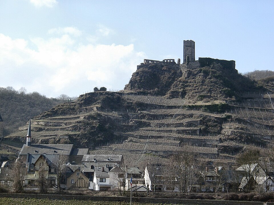
@Heritage Places, Castles & Architecture
17-Feb-2026 05 am
17-Feb-2026 05 am
This article uses text information from the Wikipedia article – Arch_of_Hadrian_(Jerash) – [Wikipedia-Article-Link: https://en.wikipedia.org/wiki/Arch_of_Hadrian_(Jerash) ] which is released under the -- Creative Commons Attribution-ShareAlike 4.0 License – [License-Link: https://creativecommons.org/licenses/by-sa/4.0/deed.en ( https://en.wikipedia.org/wiki/Wikipedia:Text_of_the_Creative_Commons_Attribution-ShareAlike_4.0_International_License )] [List of Principal Authors (5 or less) of the Wikipedia-Article on the date of this Article being Created in this Website: - Bluebonnet07, Brandmeister, InternetArchiveBot, Cote dAzur, Dimadick] [Use the following Authorship tool to find out the author contributions:- https://xtools.wmcloud.org/authorship ] [The Current Article on this Website has been paraphrased from the above linked corresponding Wikipedia-Article and You may redistribute this, verbatim or modified, provided that you comply with the terms of the Creative Commons Attribution-ShareAlike 4.0 License] [License-Link: https://creativecommons.org/licenses/by-sa/4.0/deed.en ( https://en.wikipedia.org/wiki/Wikipedia:Text_of_the_Creative_Commons_Attribution-ShareAlike_4.0_International_License )]
[Image: Arch of Hadrian in Jordan; Image-Author: Hisham Zayadneh] [Image_Source-Link: https://www.pexels.com/photo/arch-of-hadrian-in-jordan-4216244/ ] [License-Link: https://www.pexels.com/license/ ] [Please Also Relate to Original Individual Text and Image URLs for More Usage Property and Sharing, Remixing or Attributing the Contents] [Contents on Wikipedia is covered by -- Disclaimer – Wikipedia-Disclaimer-Link: https://en.wikipedia.org/wiki/Wikipedia:General_disclaimer ] [Contents in this Website is also covered by Disclaimer linked at the bottom of the Page] [This website article means no intellectual appropriation by any way and only wishes to contribute in sharing of knowledge]
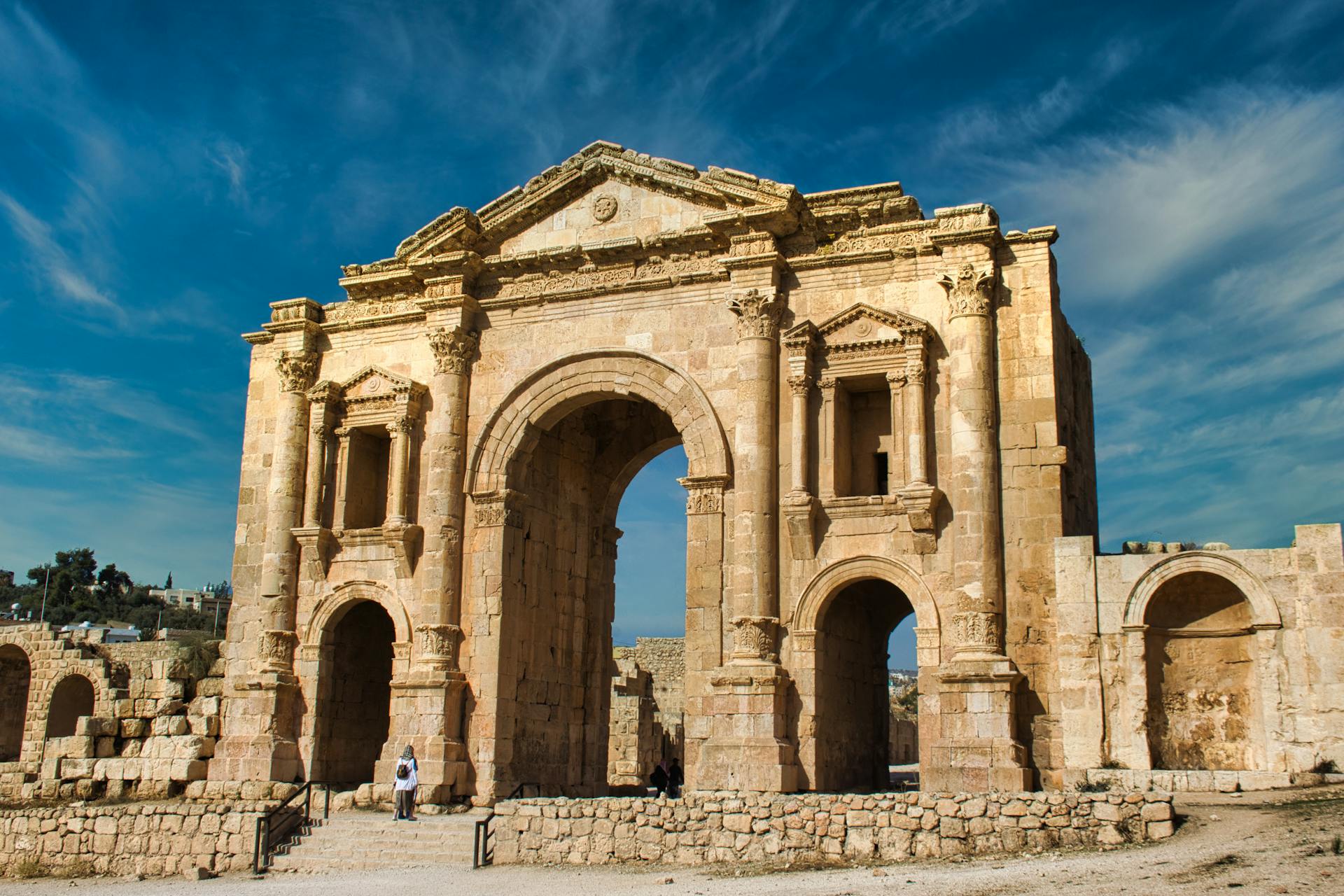
@Heritage Places, Castles & Architecture
16-Feb-2026 10 pm
16-Feb-2026 10 pm
This article uses text information from the Wikipedia article – Karlštejn – [Wikipedia-Article-Link: https://en.wikipedia.org/wiki/Karl%C5%A1tejn ] which is released under the -- Creative Commons Attribution-ShareAlike 4.0 License – [License-Link: https://creativecommons.org/licenses/by-sa/4.0/deed.en ( https://en.wikipedia.org/wiki/Wikipedia:Text_of_the_Creative_Commons_Attribution-ShareAlike_4.0_International_License )] [List of Principal Authors (5 or less) of the Wikipedia-Article on the date of this Article being Created in this Website: - Krenakarore, Matthead, FromCzech, 90.179.142.166, Scope creep] [Use the following Authorship tool to find out the author contributions:- https://xtools.wmcloud.org/authorship ] [The Current Article on this Website has been paraphrased from the above linked corresponding Wikipedia-Article and You may redistribute this, verbatim or modified, provided that you comply with the terms of the Creative Commons Attribution-ShareAlike 4.0 License] [License-Link: https://creativecommons.org/licenses/by-sa/4.0/deed.en ( https://en.wikipedia.org/wiki/Wikipedia:Text_of_the_Creative_Commons_Attribution-ShareAlike_4.0_International_License )]
[Image: Karlstejn Castle in Autumn; Image-Author: Galina Kudryashova] [Image_Source-Link: https://www.pexels.com/photo/karlstejn-castle-in-autumn-20291113/ ] [License-Link: https://www.pexels.com/license/ ] [Please Also Relate to Original Individual Text and Image URLs for More Usage Property and Sharing, Remixing or Attributing the Contents] [Contents on Wikipedia is covered by -- Disclaimer – Wikipedia-Disclaimer-Link: https://en.wikipedia.org/wiki/Wikipedia:General_disclaimer ] [Contents in this Website is also covered by Disclaimer linked at the bottom of the Page] [This website article means no intellectual appropriation by any way and only wishes to contribute in sharing of knowledge]
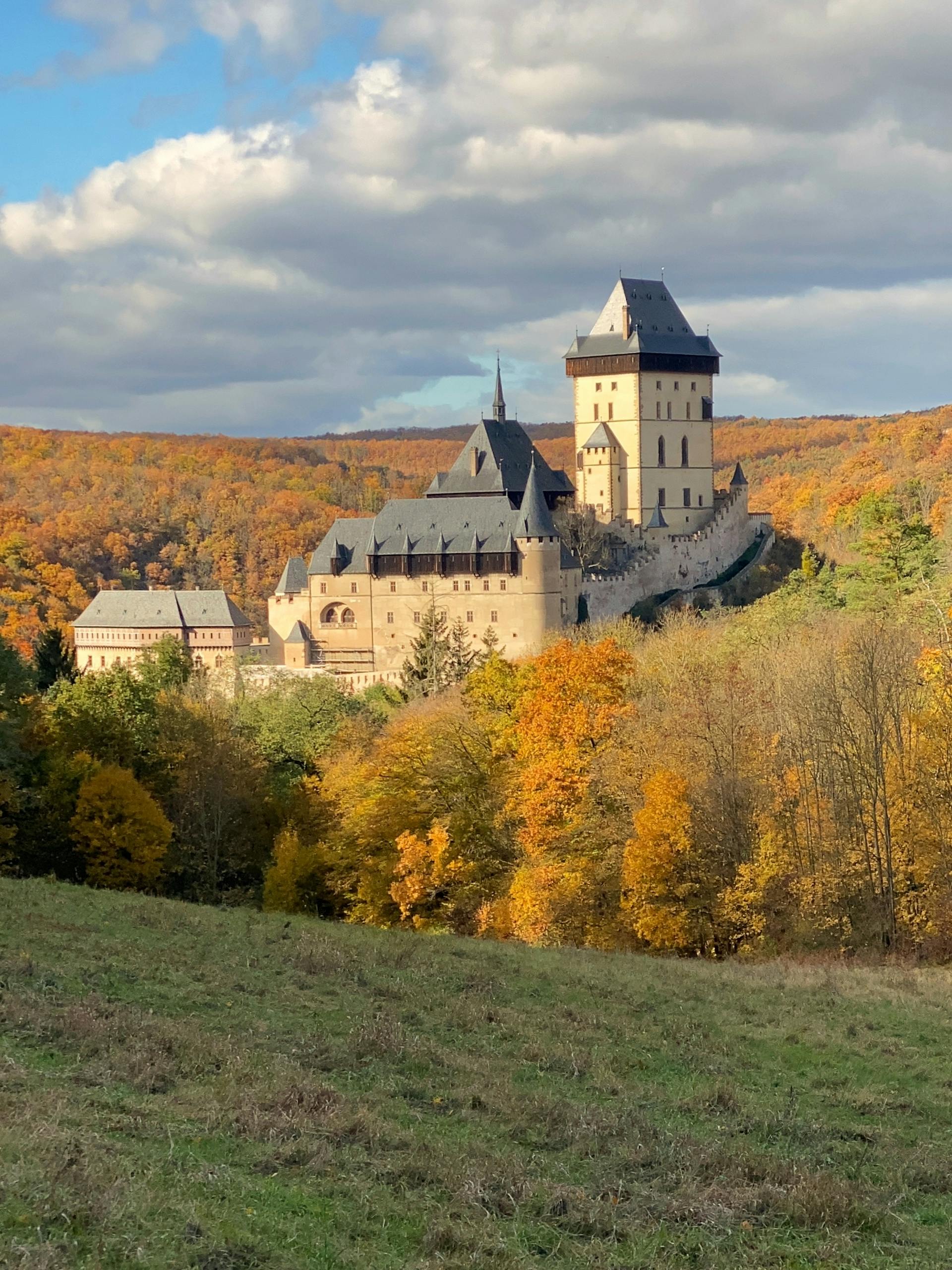
@Heritage Places, Castles & Architecture
16-Feb-2026 06 am
16-Feb-2026 06 am
This article uses text information from the Wikipedia article – Schloss_Berlepsch – [Wikipedia-Article-Link: https://de.wikipedia.org/wiki/Schloss_Berlepsch ] which is released under the -- Creative-Commons Namensnennung – Weitergabe unter gleichen Bedingungen – [License-Link: https://creativecommons.org/licenses/by-sa/4.0/deed.de ] [List of Principal Authors (5 or less) of the Wikipedia-Article on the date of this Article being Created in this Website: - 195.93.60.9, 46.114.90.22, Kreisleriana, Presse03, Commander-pirx] [Use the following Authorship tool to find out the author contributions:- https://xtools.wmcloud.org/authorship ] [The Current Article on this Website has been translated and paraphrased from the above linked corresponding Wikipedia-Article and You may redistribute this, verbatim or modified, provided that you comply with the terms of the Creative-Commons Namensnennung – Weitergabe unter gleichen Bedingungen] [License-Link: https://creativecommons.org/licenses/by-sa/4.0/deed.de ]
[Image: Schloss Berlepsch; Image-Author: Christina & Peter] [Image_Source-Link: https://www.pexels.com/photo/schloss-berlepsch-28431213/ ] [License-Link: https://www.pexels.com/license/ ] [Please Also Relate to Original Individual Text and Image URLs for More Usage Property and Sharing, Remixing or Attributing the Contents]
[Contents on Wikipedia is covered by -- Disclaimer – Wikipedia-Disclaimer-Link: https://en.wikipedia.org/wiki/Wikipedia:General_disclaimer ] [Contents in this Website is also covered by Disclaimer linked at the bottom of the Page] [This website article means no intellectual appropriation by any way and only wishes to contribute in sharing of knowledge]
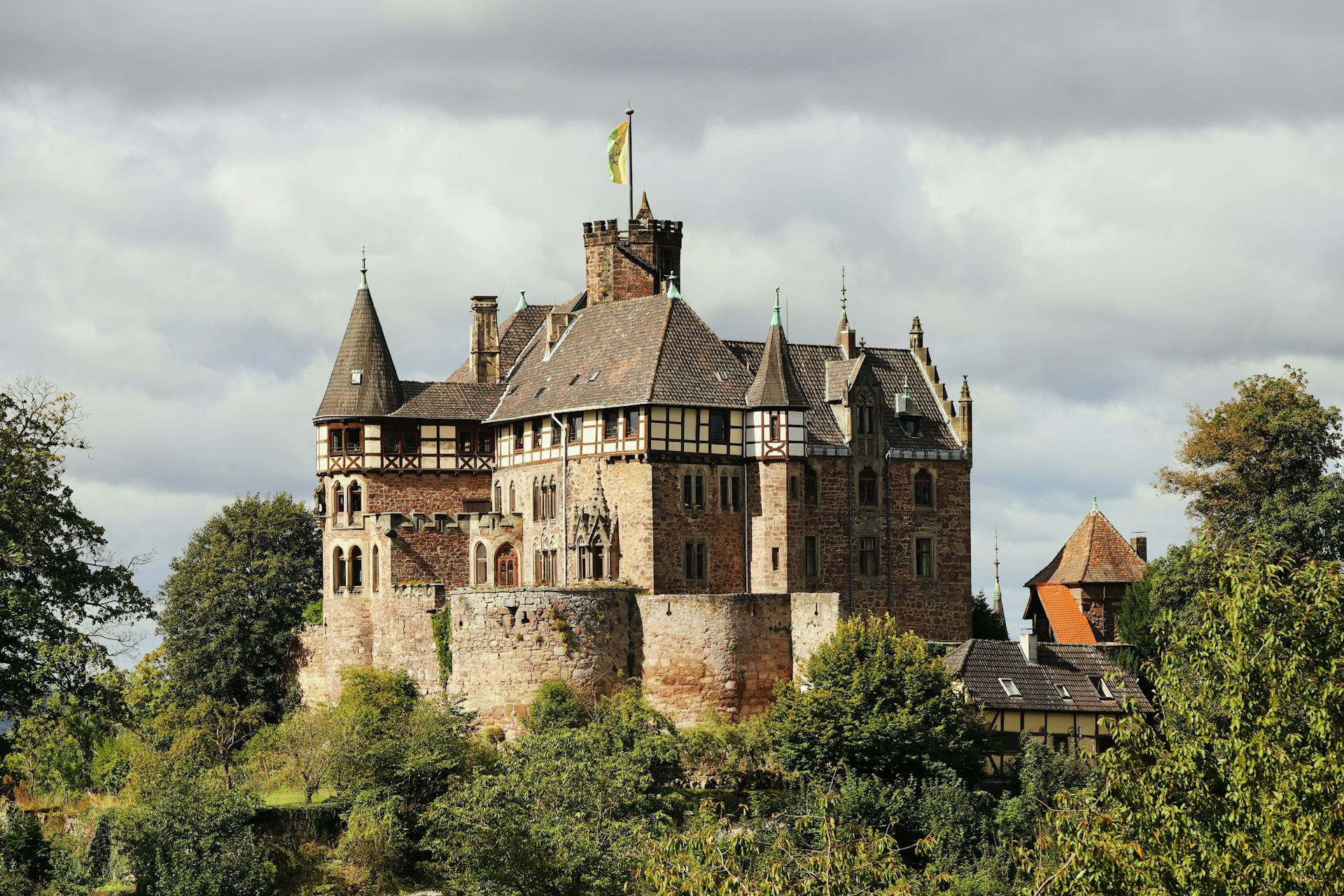
@Mythology, Legends, Folklore and Mysterious Things
15-Feb-2026 07 am
15-Feb-2026 07 am
This article uses text information from the Wikipedia article – Fates -- [Wikipedia-Article-Link: https://en.wikipedia.org/wiki/Fates ] which is released under the -- Creative Commons Attribution-ShareAlike 4.0 License – [License-Link: https://creativecommons.org/licenses/by-sa/4.0/deed.en ( https://en.wikipedia.org/wiki/Wikipedia:Text_of_the_Creative_Commons_Attribution-ShareAlike_4.0_International_License )] [List of Principal Authors (5 or less) of the Wikipedia-Article on the date of this Article being Created in this Website: - Immanuelle, Erildape, Rileyag21, Sierra Mayf, Βατο] [Use the following Authorship tool to find out the author contributions:- https://xtools.wmcloud.org/authorship ] [The Current Article on this Website has been paraphrased from the above linked corresponding Wikipedia-Article and You may redistribute this, verbatim or modified, provided that you comply with the terms of the Creative Commons Attribution-ShareAlike 4.0 License] [License-Link: https://creativecommons.org/licenses/by-sa/4.0/deed.en ( https://en.wikipedia.org/wiki/Wikipedia:Text_of_the_Creative_Commons_Attribution-ShareAlike_4.0_International_License )]
This article also uses an image from the Wikipedia article – Fates – [Wikipedia-Article-Link: https://en.wikipedia.org/wiki/Fates ] [Image: The engraving shows the three Nornir of Norse mythology by Urðarbrunnr (Published in 1893)] [Wikipedia-Image-Link: https://en.wikipedia.org/wiki/File:Nornorna_vid_Urdarbrunnen.jpg ] [This image is in the public domain in the United States because it was first published outside the United States prior to January 1, 1931. This file is in the public domain in countries with a copyright term of life of the author plus 70 years or less. Edda by Sander was published in 1893, placing its entire contents in the public domain in the United States. Since the engraver died in 1933 and all the artists listed in the book were dead by 1946, the image is in the public domain in Sweden. ][Please Also Relate to Original Individual Text and Image URLs for More Usage Property and Sharing, Remixing or Attributing the Contents]
[Contents on Wikipedia is covered by – Disclaimer – Wikipedia-Disclaimer-Link: https://en.wikipedia.org/wiki/Wikipedia:General_disclaimer ] [Contents in this Website is also covered by Disclaimer linked at the bottom of the Page] [This website article means no intellectual appropriation by any way and only wishes to contribute in sharing of knowledge]
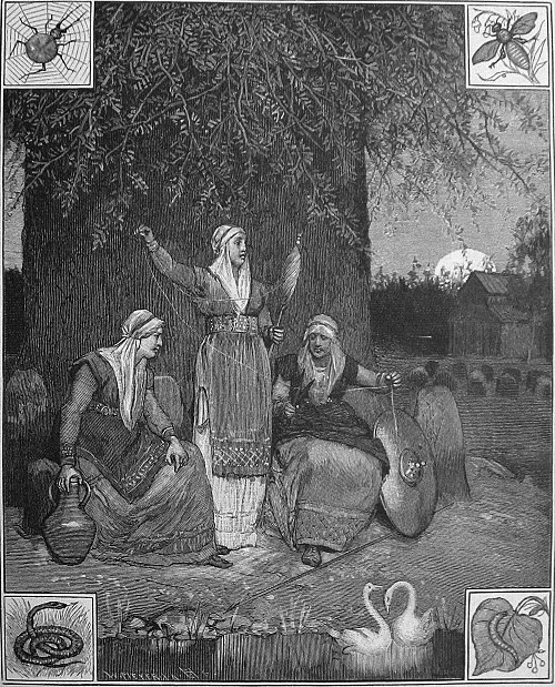
@Mythology, Legends, Folklore and Mysterious Things
14-Feb-2026 06 am
14-Feb-2026 06 am
This article uses text information from the Wikipedia article -- Dodola_and_Perperuna -- [Wikipedia-Article-Link: https://en.wikipedia.org/wiki/Dodola_and_Perperuna ] which is released under the -- Creative Commons Attribution-ShareAlike 4.0 License – [License-Link: https://creativecommons.org/licenses/by-sa/4.0/deed.en ( https://en.wikipedia.org/wiki/Wikipedia:Text_of_the_Creative_Commons_Attribution-ShareAlike_4.0_International_License )] [List of Principal Authors (5 or less) of the Wikipedia-Article on the date of this Article being Created in this Website: - Miki Filigranski, Βατο, KHR FolkMyth, Ssschhh, Frate Mare] [Use the following Authorship tool to find out the author contributions:- https://xtools.wmcloud.org/authorship ] [The Current Article on this Website has been paraphrased from the above linked corresponding Wikipedia-Article and You may redistribute this, verbatim or modified, provided that you comply with the terms of the Creative Commons Attribution-ShareAlike 4.0 License] [License-Link: https://creativecommons.org/licenses/by-sa/4.0/deed.en ( https://en.wikipedia.org/wiki/Wikipedia:Text_of_the_Creative_Commons_Attribution-ShareAlike_4.0_International_License )]
This article also uses an image from the Wikipedia article – Dodola_and_Perperuna – [Wikipedia-Article-Link: https://en.wikipedia.org/wiki/Dodola_and_Perperuna ] [Image: Watering of Dodola (1892) by Uroš Predić (1857–1953).] [Wikipedia-Image-Link: https://en.wikipedia.org/wiki/File:%22Watering_of_Dodola%22_by_Uro%C5%A1_Predi%C4%87,_published_in_magazine_%22Orao%22_in_1892.jpg ] [The Work (Image) is a faithful photographic reproduction of a two-dimensional, public domain work of art. The author died in 1953, so the work itself is in the public domain in its country of origin and other countries and areas where the copyright term is the life of author plus 70 years or fewer. This work is in the public domain in the United States because it was published (or registered with the U.S. Copyright Office) before January 1, 1931.][Please Also Relate to Original Individual Text and Image URLs for More Usage Property and Sharing, Remixing or Attributing the Contents]
[Contents on Wikipedia is covered by – Disclaimer – Wikipedia-Disclaimer-Link: https://en.wikipedia.org/wiki/Wikipedia:General_disclaimer ] [Contents in this Website is also covered by Disclaimer linked at the bottom of the Page] [This website article means no intellectual appropriation by any way and only wishes to contribute in sharing of knowledge]
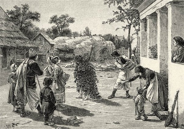
@Historical Events
14-Feb-2026 04 am
14-Feb-2026 04 am
This article uses text information from the Wikipedia article -- Battle_of_Kasahrada -- [Wikipedia-Article-Link: https://en.wikipedia.org/wiki/Battle_of_Kasahrada ] which is released under the -- Creative Commons Attribution-ShareAlike 4.0 License – [License-Link: https://creativecommons.org/licenses/by-sa/4.0/deed.en ( https://en.wikipedia.org/wiki/Wikipedia:Text_of_the_Creative_Commons_Attribution-ShareAlike_4.0_International_License )] [List of Principal Authors (5 or less) of the Wikipedia-Article on the date of this Article being Created in this Website: - Sajaypal007, Re Packer&Tracker, पाटलिपुत्र, 106.66.14.29, Packer&Tracker] [Use the following Authorship tool to find out the author contributions:- https://xtools.wmcloud.org/authorship ] [The Current Article on this Website has been paraphrased from the above linked corresponding Wikipedia-Article and You may redistribute this, verbatim or modified, provided that you comply with the terms of the Creative Commons Attribution-ShareAlike 4.0 License] [License-Link: https://creativecommons.org/licenses/by-sa/4.0/deed.en ( https://en.wikipedia.org/wiki/Wikipedia:Text_of_the_Creative_Commons_Attribution-ShareAlike_4.0_International_License )]
[Image: AI generated art of Hindu Rajput Army at Battle of Kasahrada] [Please Also Relate to Original Individual Text and/or Image URLs (if applicable) for More Usage Property and Sharing, Remixing or Attributing the Contents] [Contents on Wikipedia is covered by -- Disclaimer – [Wikipedia-Disclaimer-Link: https://en.wikipedia.org/wiki/Wikipedia:General_disclaimer ] [Contents in this Website is also covered by Disclaimer linked at the bottom of the Page] [This website article means no intellectual appropriation by any way and only wishes to contribute in sharing of knowledge]
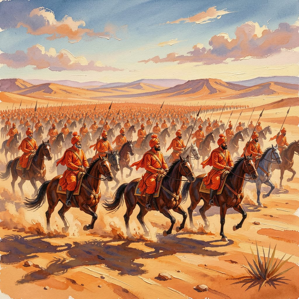
@Mythology, Legends, Folklore and Mysterious Things
13-Feb-2026 05 am
13-Feb-2026 05 am
This article uses text information from the Wikipedia article -- Yarilo -- [Wikipedia-Article-Link: https://en.wikipedia.org/wiki/Yarilo ] which is released under the -- Creative Commons Attribution-ShareAlike 4.0 License – [License-Link: https://creativecommons.org/licenses/by-sa/4.0/deed.en ( https://en.wikipedia.org/wiki/Wikipedia:Text_of_the_Creative_Commons_Attribution-ShareAlike_4.0_International_License )] [List of Principal Authors (5 or less) of the Wikipedia-Article on the date of this Article being Created in this Website: - Hier0phant, AnnieBW1, Geradid, 189.122.57.144, Dimadick] [Use the following Authorship tool to find out the author contributions:- https://xtools.wmcloud.org/authorship ] [The Current Article on this Website has been paraphrased from the above linked corresponding Wikipedia-Article and You may redistribute this, verbatim or modified, provided that you comply with the terms of the Creative Commons Attribution-ShareAlike 4.0 License] [License-Link: https://creativecommons.org/licenses/by-sa/4.0/deed.en ( https://en.wikipedia.org/wiki/Wikipedia:Text_of_the_Creative_Commons_Attribution-ShareAlike_4.0_International_License )]
[Image: Yarilo by Andrey Shishkin] [Wikipedia-Image-Link: https://commons.wikimedia.org/wiki/File:Yarilo_by_Andrey_Shishkin.jpg ] [Image Availed Under Creative Commons Attribution 3.0 Unported license] [License-Link: https://creativecommons.org/licenses/by/3.0/deed.en ] [You may copy, distribute and transmit the work (image) or remix the work (image) and attribute the work (image) with proper license link, complying with the terms of the Creative Commons Attribution 3.0 Unported license in distribution] [License-Link: https://creativecommons.org/licenses/by/3.0/deed.en ] [Please Also Relate to Original Individual Text and Image URLs for More Usage Property and Sharing, Remixing or Attributing the Contents]
[Contents on Wikipedia is covered by -- Disclaimer – [Wikipedia-Disclaimer-Link: https://en.wikipedia.org/wiki/Wikipedia:General_disclaimer ] [Contents in this Website is also covered by Disclaimer linked at the bottom of the Page] [This website article means no intellectual appropriation by any way and only wishes to contribute in sharing of knowledge]
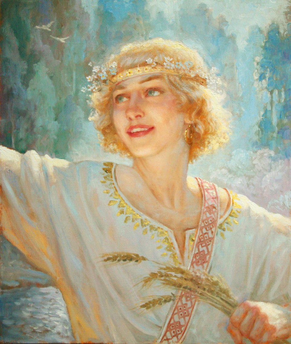
@Heritage Places, Castles & Architecture
13-Feb-2026 12 am
13-Feb-2026 12 am
This article uses text information from the Wikipedia article – Loket_Castle – [Wikipedia-Article-Link: https://en.wikipedia.org/wiki/Loket_Castle ] which is released under the -- Creative Commons Attribution-ShareAlike 4.0 License – [License-Link: https://creativecommons.org/licenses/by-sa/4.0/deed.en ( https://en.wikipedia.org/wiki/Wikipedia:Text_of_the_Creative_Commons_Attribution-ShareAlike_4.0_International_License )] [List of Principal Authors (5 or less) of the Wikipedia-Article on the date of this Article being Created in this Website: - Krenakarore, Arminden, Addshore, Zackmann08, FromCzech] [Use the following Authorship tool to find out the author contributions:- https://xtools.wmcloud.org/authorship ] [The Current Article on this Website has been paraphrased from the above linked corresponding Wikipedia-Article and You may redistribute this, verbatim or modified, provided that you comply with the terms of the Creative Commons Attribution-ShareAlike 4.0 License] [License-Link: https://creativecommons.org/licenses/by-sa/4.0/deed.en ( https://en.wikipedia.org/wiki/Wikipedia:Text_of_the_Creative_Commons_Attribution-ShareAlike_4.0_International_License )]
[Image: Scenic View of Loket Castle in Czechia; Image-Author: Alexey K. ] [Image_Source-Link: https://www.pexels.com/photo/scenic-view-of-loket-castle-in-czechia-31718815/ ] [License-Link: https://www.pexels.com/license/ ] [Please Also Relate to Original Individual Text and Image URLs for More Usage Property and Sharing, Remixing or Attributing the Contents] [Contents on Wikipedia is covered by -- Disclaimer – Wikipedia-Disclaimer-Link: https://en.wikipedia.org/wiki/Wikipedia:General_disclaimer ] [Contents in this Website is also covered by Disclaimer linked at the bottom of the Page] [This website article means no intellectual appropriation by any way and only wishes to contribute in sharing of knowledge]
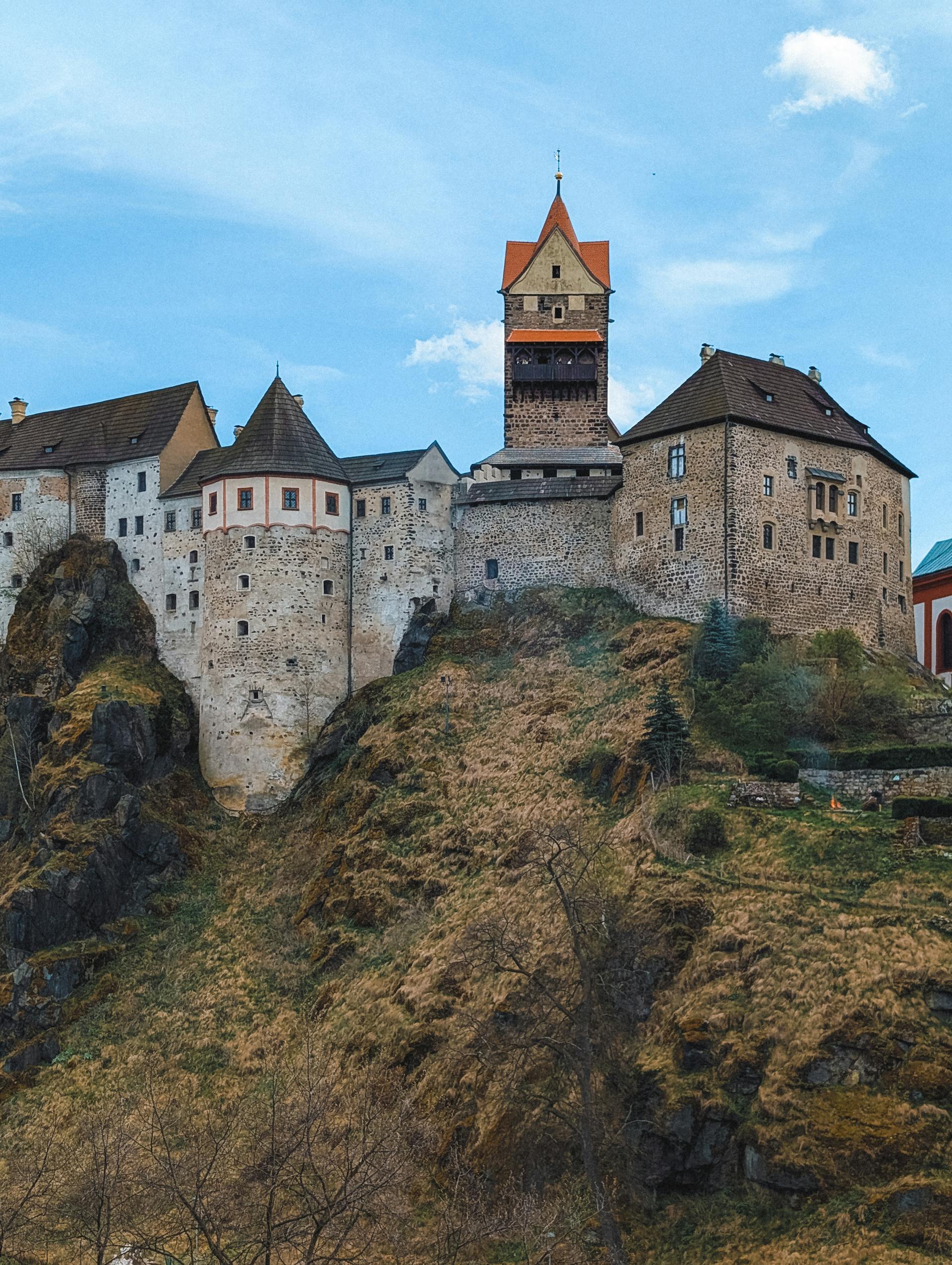
@Mythology, Legends, Folklore and Mysterious Things
12-Feb-2026 05 am
12-Feb-2026 05 am
This article uses text information from the Wikipedia article – Ukko – [Wikipedia-Article-Link: https://en.wikipedia.org/wiki/Ukko ] which is released under the -- Creative Commons Attribution-ShareAlike 4.0 License – [License-Link: https://creativecommons.org/licenses/by-sa/4.0/deed.en ( https://en.wikipedia.org/wiki/Wikipedia:Text_of_the_Creative_Commons_Attribution-ShareAlike_4.0_International_License )] [List of Principal Authors (5 or less) of the Wikipedia-Article on the date of this Article being Created in this Website: - Vilutar, Pohjannaula, 166.205.91.44, Permikk, Dots321] [Use the following Authorship tool to find out the author contributions:- https://xtools.wmcloud.org/authorship ] [The Current Article on this Website has been paraphrased from the above linked corresponding Wikipedia-Article and You may redistribute this, verbatim or modified, provided that you comply with the terms of the Creative Commons Attribution-ShareAlike 4.0 License] [License-Link: https://creativecommons.org/licenses/by-sa/4.0/deed.en ( https://en.wikipedia.org/wiki/Wikipedia:Text_of_the_Creative_Commons_Attribution-ShareAlike_4.0_International_License )]
This article also uses an image from the Wikipedia article – Ukko – [Wikipedia-Article-Link: https://en.wikipedia.org/wiki/Ukko ] [Image: Lemminkäinen tulisella järvellä (1867) by Robert Wilhelm Ekman (1808–1873). In the painting Lemminkäinen asks help from Ukko ylijumala with crossing the lake in fire on his route to the wedding at Pohjola. ] [Wikipedia-Image-Link: https://en.wikipedia.org/wiki/File:Ekman,_Lemmink%C3%A4inen_tulisella_j%C3%A4rvell%C3%A4_(sketch).jpg ] [The Work (Image) is a faithful photographic reproduction of a two-dimensional, public domain work of art. The author died in 1873, so the work itself is in the public domain in its country of origin and other countries and areas where the copyright term is the life of author plus 100 years or fewer. This work is in the public domain in the United States because it was published (or registered with the U.S. Copyright Office) before January 1, 1931. ][Please Also Relate to Original Individual Text and Image URLs for More Usage Property and Sharing, Remixing or Attributing the Contents]
[Contents on Wikipedia is covered by – Disclaimer – Wikipedia-Disclaimer-Link: https://en.wikipedia.org/wiki/Wikipedia:General_disclaimer ] [Contents in this Website is also covered by Disclaimer linked at the bottom of the Page] [This website article means no intellectual appropriation by any way and only wishes to contribute in sharing of knowledge]
.jpg)
@Heritage Places, Castles & Architecture
11-Feb-2026 09 pm
11-Feb-2026 09 pm
This article uses text information from the Wikipedia article – Atalaya_Castle_(Spain) – [Wikipedia-Article-Link: https://en.wikipedia.org/wiki/Atalaya_Castle_(Spain) ] which is released under the -- Creative Commons Attribution-ShareAlike 4.0 License – [License-Link: https://creativecommons.org/licenses/by-sa/4.0/deed.en ( https://en.wikipedia.org/wiki/Wikipedia:Text_of_the_Creative_Commons_Attribution-ShareAlike_4.0_International_License )] [List of Principal Authors (5 or less) of the Wikipedia-Article on the date of this Article being Created in this Website: - Attilios, JeBonSer, 2A06:6C0:2:3665:DC16:D6AA:4351:5023, Qoan, 84.120.103.25] [Use the following Authorship tool to find out the author contributions:- https://xtools.wmcloud.org/authorship ] [The Current Article on this Website has been paraphrased from the above linked corresponding Wikipedia-Article and You may redistribute this, verbatim or modified, provided that you comply with the terms of the Creative Commons Attribution-ShareAlike 4.0 License] [License-Link: https://creativecommons.org/licenses/by-sa/4.0/deed.en ( https://en.wikipedia.org/wiki/Wikipedia:Text_of_the_Creative_Commons_Attribution-ShareAlike_4.0_International_License )]
[Image: Historic Atalaya Castle in Villena on a Sunny Day, Spain; Image-Author: Emilio Sánchez Hernández] [Image_Source-Link: https://www.pexels.com/photo/historic-atalaya-castle-in-villena-on-a-sunny-day-33723560/ ] [License-Link: https://www.pexels.com/license/ ] [Please Also Relate to Original Individual Text and Image URLs for More Usage Property and Sharing, Remixing or Attributing the Contents] [Contents on Wikipedia is covered by -- Disclaimer – Wikipedia-Disclaimer-Link: https://en.wikipedia.org/wiki/Wikipedia:General_disclaimer ] [Contents in this Website is also covered by Disclaimer linked at the bottom of the Page] [This website article means no intellectual appropriation by any way and only wishes to contribute in sharing of knowledge]
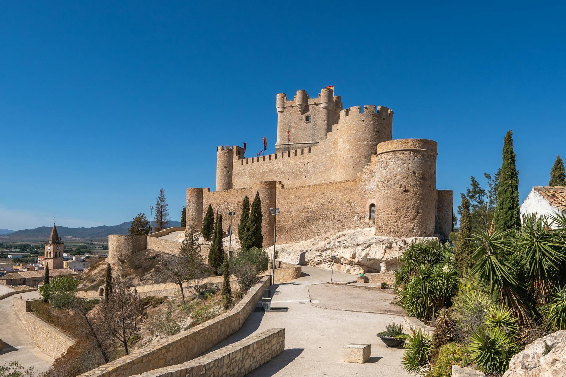
@Mythology, Legends, Folklore and Mysterious Things
10-Feb-2026 03 am
10-Feb-2026 03 am
This article uses text information from the Wikipedia article – Lindworm – [Wikipedia-Article-Link: https://en.wikipedia.org/wiki/Lindworm ] which is released under the -- Creative Commons Attribution-ShareAlike 4.0 License – [License-Link: https://creativecommons.org/licenses/by-sa/4.0/deed.en ( https://en.wikipedia.org/wiki/Wikipedia:Text_of_the_Creative_Commons_Attribution-ShareAlike_4.0_International_License )] [List of Principal Authors (5 or less) of the Wikipedia-Article on the date of this Article being Created in this Website: - Blockhaj, Sean RWSN, HillelAmadeus, Gunnora, Juvrud] [Use the following Authorship tool to find out the author contributions:- https://xtools.wmcloud.org/authorship ] [The Current Article on this Website has been paraphrased from the above linked corresponding Wikipedia-Article and You may redistribute this, verbatim or modified, provided that you comply with the terms of the Creative Commons Attribution-ShareAlike 4.0 License] [License-Link: https://creativecommons.org/licenses/by-sa/4.0/deed.en ( https://en.wikipedia.org/wiki/Wikipedia:Text_of_the_Creative_Commons_Attribution-ShareAlike_4.0_International_License )]
This article also uses an image from the Wikipedia article – Lindworm – [Wikipedia-Article-Link: https://en.wikipedia.org/wiki/Lindworm ] [Image: Swedish lindworm drawn by Swedish illustrator John Bauer, 1911. The Swedish lindworm lacks wings and limbs. ] [Wikipedia-Image-Link: https://en.wikipedia.org/wiki/File:John_Bauer,_1911_(cropped,_no_signature).jpg ] [The Work (Image) is a faithful photographic reproduction of a two-dimensional, public domain work of art. The author died in 1918, the work itself is in the public domain in its country of origin and other countries and areas where the copyright term is the life of author plus 100 years or fewer. This work is in the public domain in the United States because it was published (or registered with the U.S. Copyright Office) before January 1, 1931. ][Please Also Relate to Original Individual Text and Image URLs for More Usage Property and Sharing, Remixing or Attributing the Contents]
[Contents on Wikipedia is covered by – Disclaimer – Wikipedia-Disclaimer-Link: https://en.wikipedia.org/wiki/Wikipedia:General_disclaimer ] [Contents in this Website is also covered by Disclaimer linked at the bottom of the Page] [This website article means no intellectual appropriation by any way and only wishes to contribute in sharing of knowledge]
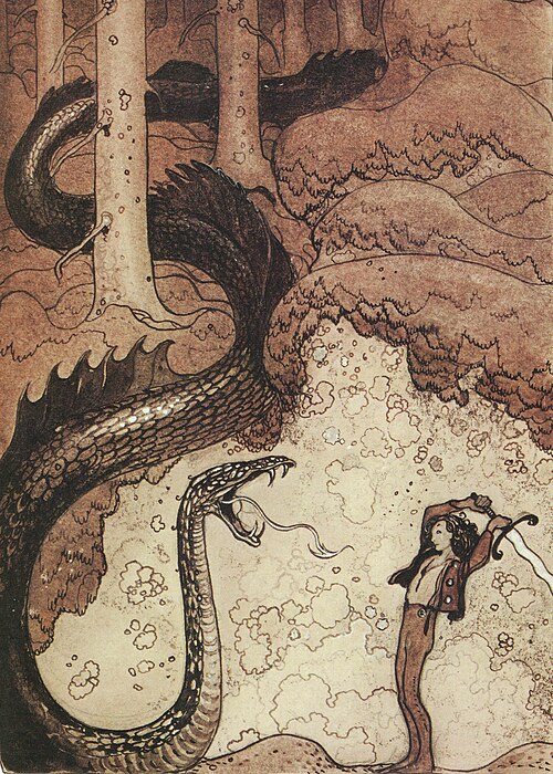
@Heritage Places, Castles & Architecture
09-Feb-2026 09 pm
09-Feb-2026 09 pm
This article uses text information from the Wikipedia article -- Castillo_de_La_Calahorra -- [Wikipedia-Article-Link: https://en.wikipedia.org/wiki/Castillo_de_La_Calahorra ] which is released under the -- Creative Commons Attribution-ShareAlike 4.0 License – [License-Link: https://en.wikipedia.org/wiki/Wikipedia:Text_of_the_Creative_Commons_Attribution-ShareAlike_4.0_International_License ] [List of Principal Authors (5 or less) of the Wikipedia-Article on the date of this Article being Created in this Website: - Rosiestep, 2001:56A:7840:4F00:695D:DC7B:BB16:E54C, Wolfgang Pehlemann, Anil1956, InternetArchiveBot] [Use the following Authorship tool to find out the author contributions:- https://xtools.wmcloud.org/authorship ] [The Current Article on this Website has been paraphrased from the above linked corresponding Wikipedia-Article and You may redistribute this, verbatim or modified, provided that you comply with the terms of the Creative Commons Attribution-ShareAlike 4.0 License] [License-Link: https://en.wikipedia.org/wiki/Wikipedia:Text_of_the_Creative_Commons_Attribution-ShareAlike_4.0_International_License ]
[Image: View of the Castillo de La Calahorra, La Calahorra, in the Province of Granada, Spain; Image-Author: Pedro Luis Domínguez Ruiz] [Image_Source-Link: https://www.pexels.com/photo/view-of-the-castillo-de-la-calahorra-la-calahorra-in-the-province-of-granada-spain-15488108/ ] [License-Link: https://www.pexels.com/license/ ] [Please Also Relate to Original Individual Text and Image URLs for More Usage Property and Sharing, Remixing or Attributing the Contents]
[Contents on Wikipedia is covered by -- Disclaimer – Wikipedia-Disclaimer-Link: https://en.wikipedia.org/wiki/Wikipedia:General_disclaimer ] [Contents in this Website is also covered by Disclaimer linked at the bottom of the Page] [This website article means no intellectual appropriation by any way and only wishes to contribute in sharing of knowledge]
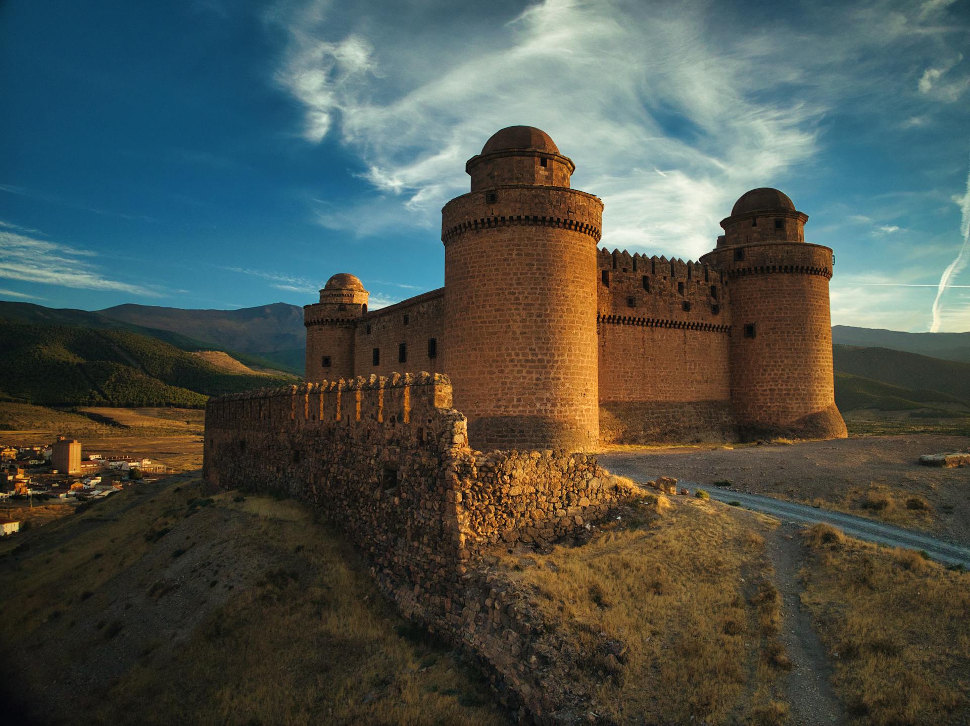
@Mythology, Legends, Folklore and Mysterious Things
08-Feb-2026 10 pm
08-Feb-2026 10 pm
This article uses text information from the Wikipedia article – Bragi – [Wikipedia-Article-Link: https://en.wikipedia.org/wiki/Bragi ] which is released under the -- Creative Commons Attribution-ShareAlike 4.0 License – [License-Link: https://en.wikipedia.org/wiki/Wikipedia:Text_of_the_Creative_Commons_Attribution-ShareAlike_4.0_International_License ] [List of Principal Authors (5 or less) of the Wikipedia-Article on the date of this Article being Created in this Website: - Alcaios, Jallan, Maen Dabbagh, MrGoldenfold007, 199.168.105.147] [Use the following Authorship tool to find out the author contributions:- https://xtools.wmcloud.org/authorship ] [The Current Article on this Website has been paraphrased from the above linked corresponding Wikipedia-Article and You may redistribute this, verbatim or modified, provided that you comply with the terms of the Creative Commons Attribution-ShareAlike 4.0 License] [License-Link: https://en.wikipedia.org/wiki/Wikipedia:Text_of_the_Creative_Commons_Attribution-ShareAlike_4.0_International_License ]
This article also uses an image from the Wikipedia article – Bragi – [Wikipedia-Article-Link: https://en.wikipedia.org/wiki/Bragi ] [Image: Bragi by Carl Wahlbom (1810–1858);] [Wikipedia-Image-Link: https://en.wikipedia.org/wiki/File:Bragi_by_Wahlbom.jpg ] [The Work (Image) is a faithful photographic reproduction of a two-dimensional, public domain work of art. The work itself is in the public domain in its country of origin and other countries and areas where the copyright term is the life of author plus 100 years or fewer. This work is also believed to be in the public domain in the United States. ][Please Also Relate to Original Individual Text and Image URLs for More Usage Property and Sharing, Remixing or Attributing the Contents]
[Contents on Wikipedia is covered by – Disclaimer – Wikipedia-Disclaimer-Link: https://en.wikipedia.org/wiki/Wikipedia:General_disclaimer ] [Contents in this Website is also covered by Disclaimer linked at the bottom of the Page] [This website article means no intellectual appropriation by any way and only wishes to contribute in sharing of knowledge]
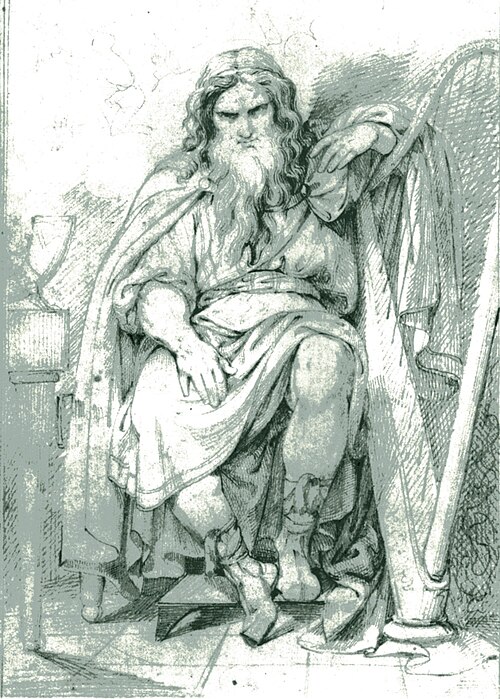
@Mythology, Legends, Folklore and Mysterious Things
07-Feb-2026 10 pm
07-Feb-2026 10 pm
This article uses text information from the Wikipedia article – Vasant_Panchami – [Wikipedia-Article-Link: https://en.wikipedia.org/wiki/Vasant_Panchami ] which is released under the -- Creative Commons Attribution-ShareAlike 4.0 License – [License-Link: https://en.wikipedia.org/wiki/Wikipedia:Text_of_the_Creative_Commons_Attribution-ShareAlike_4.0_International_License ] [List of Principal Authors (5 or less) of the Wikipedia-Article on the date of this Article being Created in this Website: - Ms Sarah Welch, Malikhpur, PulauKakatua19, Thibbs, Chilicave] [Use the following Authorship tool to find out the author contributions:- https://xtools.wmcloud.org/authorship ] [The Current Article on this Website has been paraphrased from the above linked corresponding Wikipedia-Article and You may redistribute this, verbatim or modified, provided that you comply with the terms of the Creative Commons Attribution-ShareAlike 4.0 License] [License-Link: https://en.wikipedia.org/wiki/Wikipedia:Text_of_the_Creative_Commons_Attribution-ShareAlike_4.0_International_License ]
This article also uses an image from the Wikipedia article – Vasant_Panchami – [Wikipedia-Article-Link: https://en.wikipedia.org/wiki/Vasant_Panchami ] [Image: Goddess Saraswati (print) by Raja Ravi Varma (1848–1906)] [Wikipedia-Image-Link: https://en.wikipedia.org/wiki/File:Raja_Ravi_Varma,_Goddess_Saraswati.jpg ] [The Work (Image) is a faithful photographic reproduction of a two-dimensional, public domain work of art. The work itself is in the public domain in its country of origin and other countries and areas where the copyright term is the life of author plus 100 years or fewer. This work is in the public domain in the United States because it was published (or registered with the U.S. Copyright Office) before January 1, 1931. ][Please Also Relate to Original Individual Text and Image URLs for More Usage Property and Sharing, Remixing or Attributing the Contents]
[Contents on Wikipedia is covered by – Disclaimer – Wikipedia-Disclaimer-Link: https://en.wikipedia.org/wiki/Wikipedia:General_disclaimer ] [Contents in this Website is also covered by Disclaimer linked at the bottom of the Page] [This website article means no intellectual appropriation by any way and only wishes to contribute in sharing of knowledge]
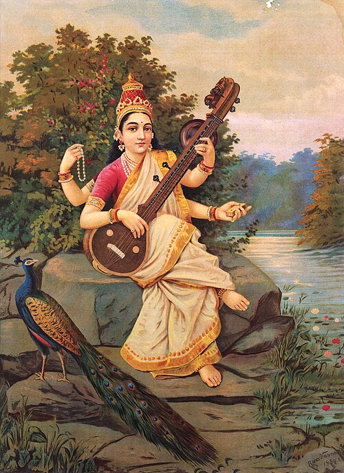
@Historical Events
07-Feb-2026 12 am
07-Feb-2026 12 am
This article uses text information from the Wikipedia article -- Hindu_Kush -- [Wikipedia-Article-Link: https://en.wikipedia.org/wiki/Hindu_Kush ] which is released under the -- Creative Commons Attribution-ShareAlike 4.0 License – [License-Link: https://en.wikipedia.org/wiki/Wikipedia:Text_of_the_Creative_Commons_Attribution-ShareAlike_4.0_International_License ] [List of Principal Authors (5 or less) of the Wikipedia-Article on the date of this Article being Created in this Website: - Ms Sarah Welch, InformationToKnowledge, Sutyarashi, Alishernavoi, Mankabir wiki] [Use the following Authorship tool to find out the author contributions:- https://xtools.wmcloud.org/authorship ] [The Current Article on this Website has been paraphrased from the above linked corresponding Wikipedia-Article and You may redistribute this, verbatim or modified, provided that you comply with the terms of the Creative Commons Attribution-ShareAlike 4.0 License] 1 [License-Link: https://en.wikipedia.org/wiki/Wikipedia:Text_of_the_Creative_Commons_Attribution-ShareAlike_4.0_International_License ]
This article also uses an image from the Wikipedia article – Hindu_Kush – [Wikipedia-Article-Link: https://en.wikipedia.org/wiki/Hindu_Kush ] [Image: Landscape of Afghanistan with a T-62 tank in the foreground; Wikipedia-Image-Author: davric] [Wikipedia-Image-Link: https://en.wikipedia.org/wiki/File:T-62_tank_abandoned_in_Afghanistan.jpg ] [The copyright holder of the work (Image) has released the work into the public domain. This applies worldwide. In some countries this may not be legally possible; if so: the copyright holder grants anyone the right to use this work for any purpose, without any conditions, unless such conditions are required by law. ][Please Also Relate to Original Individual Text and Image URLs for More Usage Property and Sharing, Remixing or Attributing the Contents]
[Contents on Wikipedia is covered by – Disclaimer – Wikipedia-Disclaimer-Link: https://en.wikipedia.org/wiki/Wikipedia:General_disclaimer ] [Contents in this Website is also covered by Disclaimer linked at the bottom of the Page] [This website article means no intellectual appropriation by any way and only wishes to contribute in sharing of knowledge]
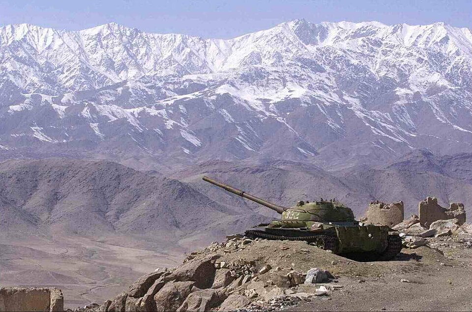
@Heritage Places, Castles & Architecture
06-Feb-2026 05 am
06-Feb-2026 05 am
This article uses text information from the Wikipedia article -- Kafir_Kot -- [Wikipedia-Article-Link: https://en.wikipedia.org/wiki/Kafir_Kot ] which is released under the -- Creative Commons Attribution-ShareAlike 4.0 License – [License-Link: https://creativecommons.org/licenses/by-sa/4.0/deed.en ( https://en.wikipedia.org/wiki/Wikipedia:Text_of_the_Creative_Commons_Attribution-ShareAlike_4.0_International_License )] [List of Principal Authors (5 or less) of the Wikipedia-Article on the date of this Article being Created in this Website: - Pahari Sahib, Willard84, Shikari7, Zeex. rice, 92.20.80.183] [Use the following Authorship tool to find out the author contributions:- https://xtools.wmcloud.org/authorship ] [The Current Article on this Website has been paraphrased from the above linked corresponding Wikipedia-Article and You may redistribute this, verbatim or modified, provided that you comply with the terms of the Creative Commons Attribution-ShareAlike 4.0 License] [License-Link: https://creativecommons.org/licenses/by-sa/4.0/deed.en ( https://en.wikipedia.org/wiki/Wikipedia:Text_of_the_Creative_Commons_Attribution-ShareAlike_4.0_International_License )]
This article also uses an image from the Wikipedia article -- Kafir_Kot -- [Wikipedia-Article-Link: https://en.wikipedia.org/wiki/Kafir_Kot ] [Image: Bilot Fort Temple - Panorama 2; Wikipedia-Image-Author: Shikari7] [Wikipedia-Image-Link: https://en.wikipedia.org/wiki/File:Bilot_Fort_Temple_-_Panorama_2.jpg ] [Image Availed Under Creative Commons Attribution-Share Alike 3.0 Unported license] [License-Link: https://creativecommons.org/licenses/by-sa/3.0/deed.en ] [You may copy, distribute and transmit the work (image) or share (alike) the work (image), provided that you comply with the terms of the Creative Commons Attribution-Share Alike 3.0 Unported license or other compatible license in distribution] [License-Link: https://creativecommons.org/licenses/by-sa/3.0/deed.en ] [Please Also Relate to Original Individual Text and Image URLs for More Usage Property and Sharing, Remixing or Attributing the Contents]
[Contents on Wikipedia is covered by -- Disclaimer – Wikipedia-Disclaimer-Link: https://en.wikipedia.org/wiki/Wikipedia:General_disclaimer ] [Contents in this Website is also covered by Disclaimer linked at the bottom of the Page] [This website article means no intellectual appropriation by any way and only wishes to contribute in sharing of knowledge]
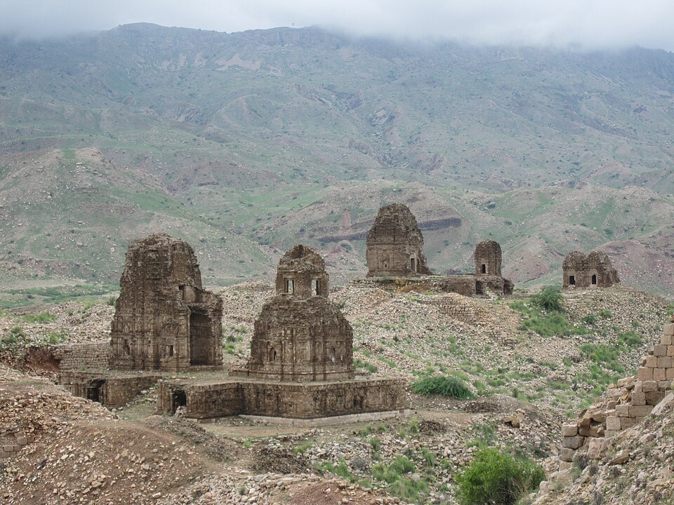
@Heritage Places, Castles & Architecture
05-Feb-2026 12 am
05-Feb-2026 12 am
This article uses text information from the Wikipedia article -- Tiru_Parameswara_Vinnagaram -- [Wikipedia-Article-Link: https://en.wikipedia.org/wiki/Tiru_Parameswara_Vinnagaram ] which is released under the -- Creative Commons Attribution-ShareAlike 4.0 License – [License-Link: https://en.wikipedia.org/wiki/Wikipedia:Text_of_the_Creative_Commons_Attribution-ShareAlike_4.0_International_License ] [List of Principal Authors (5 or less) of the Wikipedia-Article on the date of this Article being Created in this Website: - Ssriram mt, QuillThrills, R balaji69, BKK36, B Jambulingam] [Use the following Authorship tool to find out the author contributions:- https://xtools.wmcloud.org/authorship ] [The Current Article on this Website has been paraphrased from the above linked corresponding Wikipedia-Article and You may redistribute this, verbatim or modified, provided that you comply with the terms of the Creative Commons Attribution-ShareAlike 4.0 License] [License-Link: https://en.wikipedia.org/wiki/Wikipedia:Text_of_the_Creative_Commons_Attribution-ShareAlike_4.0_International_License ]
This article also uses an image from the Wikipedia article -- Tiru_Parameswara_Vinnagaram -- [Wikipedia-Article-Link: https://en.wikipedia.org/wiki/Tiru_Parameswara_Vinnagaram ] [Image: Vaikunta Perumal temple; Wikipedia-Image-Author: Ssriram mt https://commons.wikimedia.org/wiki/User:Ssriram_mt ] [Wikipedia-Image-Link: https://en.wikipedia.org/wiki/File:Vaikunta_Perumal_temple_Kanchipuram_(6).jpg ] [Image Availed Under Creative Commons Attribution-Share Alike 4.0 International license] [License-Link: https://creativecommons.org/licenses/by-sa/4.0/deed.en ] [You may copy, distribute and transmit the work (image) or share (alike) the work (image), provided that you comply with the terms of the Creative Commons Attribution-Share Alike 4.0 International license or other compatible license in distribution] [License-Link: https://creativecommons.org/licenses/by-sa/4.0/deed.en ] [Please Also Relate to Original Individual Text and Image URLs for More Usage Property and Sharing, Remixing or Attributing the Contents]
[Contents on Wikipedia is covered by -- Disclaimer – Wikipedia-Disclaimer-Link: https://en.wikipedia.org/wiki/Wikipedia:General_disclaimer ] [Contents in this Website is also covered by Disclaimer linked at the bottom of the Page] [This website article means no intellectual appropriation by any way and only wishes to contribute in sharing of knowledge]
.jpg)
@Mythology, Legends, Folklore and Mysterious Things
04-Feb-2026 08 pm
04-Feb-2026 08 pm
This article uses text information from the Wikipedia article -- Rhiannon -- [Wikipedia-Article-Link: https://en.wikipedia.org/wiki/Rhiannon ] which is released under the -- Creative Commons Attribution-ShareAlike 4.0 License – [License-Link: https://en.wikipedia.org/wiki/Wikipedia:Text_of_the_Creative_Commons_Attribution-ShareAlike_4.0_International_License ] [List of Principal Authors (5 or less) of the Wikipedia-Article on the date of this Article being Created in this Website: - Morgain13, Gwyn-ap-Nudd, 188.141.25.160, Crychydd, 302ET] [Use the following Authorship tool to find out the author contributions:- https://xtools.wmcloud.org/authorship ] [The Current Article on this Website has been paraphrased from the above linked corresponding Wikipedia-Article and You may redistribute this, verbatim or modified, provided that you comply with the terms of the Creative Commons Attribution-ShareAlike 4.0 License] [License-Link: https://en.wikipedia.org/wiki/Wikipedia:Text_of_the_Creative_Commons_Attribution-ShareAlike_4.0_International_License ]
This article also uses an image from the Wikipedia article – Rhiannon – [Wikipedia-Article-Link: https://en.wikipedia.org/wiki/Rhiannon ] [Image: Rhiannon riding in Arberth. From The Mabinogion, translated by Lady Charlotte Guest, 1877] [Wikipedia-Image-Link: https://en.wikipedia.org/wiki/File:Charlotte_Guest_Rhiannon.jpg ] [This media file is in the public domain in the United States. This applies to U.S. works where the copyright has expired, often because its first publication occurred prior to January 1, 1931, and if not then due to lack of notice or renewal. ][Please Also Relate to Original Individual Text and Image URLs for More Usage Property and Sharing, Remixing or Attributing the Contents]
[Contents on Wikipedia is covered by – Disclaimer – Wikipedia-Disclaimer-Link: https://en.wikipedia.org/wiki/Wikipedia:General_disclaimer ] [Contents in this Website is also covered by Disclaimer linked at the bottom of the Page] [This website article means no intellectual appropriation by any way and only wishes to contribute in sharing of knowledge]
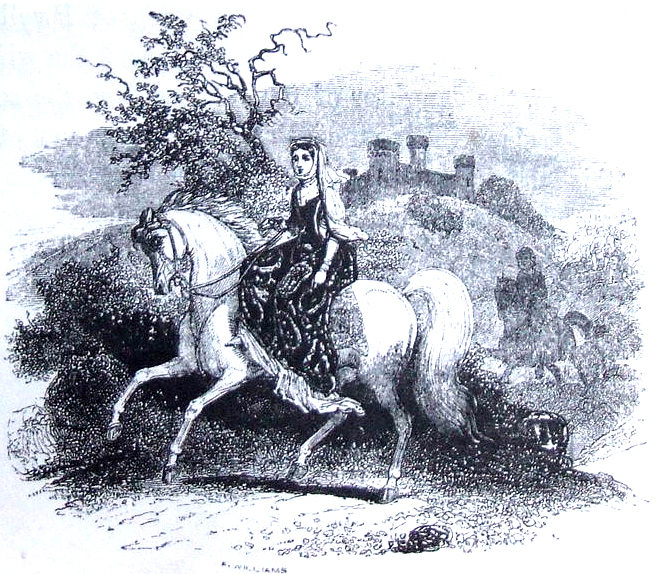
@Heritage Places, Castles & Architecture
04-Feb-2026 05 pm
04-Feb-2026 05 pm
This article uses text information from the Wikipedia article -- Schloss_Philippsfreude -- [Wikipedia-Article-Link: https://en.wikipedia.org/wiki/Schloss_Philippsfreude ] which is released under the -- Creative Commons Attribution-ShareAlike 4.0 License – [License-Link: https://en.wikipedia.org/wiki/Wikipedia:Text_of_the_Creative_Commons_Attribution-ShareAlike_4.0_International_License ] [List of Principal Authors (5 or less) of the Wikipedia-Article on the date of this Article being Created in this Website: - Ipflo, Onel5969, JJMC89 bot III, Aronlee90, Grimes2] [Use the following Authorship tool to find out the author contributions:- https://xtools.wmcloud.org/authorship ] [The Current Article on this Website has been paraphrased from the above linked corresponding Wikipedia-Article and You may redistribute this, verbatim or modified, provided that you comply with the terms of the Creative Commons Attribution-ShareAlike 4.0 License] [License-Link: https://en.wikipedia.org/wiki/Wikipedia:Text_of_the_Creative_Commons_Attribution-ShareAlike_4.0_International_License ]
This article also uses an image from the Wikipedia article – Schloss_Philippsfreude – [Wikipedia-Article-Link: https://en.wikipedia.org/wiki/Schloss_Philippsfreude ] [Image: Schloss Philippsfreude in Wittlich (1760) by Bernhard Gottfried Manskirch] [Wikipedia-Image-Link: https://en.wikipedia.org/wiki/File:Wittlich_Schloss_Philippsfreude_Bernard_Gottfried_Manskirch_1760.jpg ] [The Work is in the public domain in its country of origin and other countries and areas where the copyright term is the life of author plus 70 years or fewer. The work is in the public domain in the United States because it was published (or registered with the U.S. Copyright Office) before January 1, 1931. ][Please Also Relate to Original Individual Text and Image URLs for More Usage Property and Sharing, Remixing or Attributing the Contents]
[Contents on Wikipedia is covered by – Disclaimer – Wikipedia-Disclaimer-Link: https://en.wikipedia.org/wiki/Wikipedia:General_disclaimer ] [Contents in this Website is also covered by Disclaimer linked at the bottom of the Page] [This website article means no intellectual appropriation by any way and only wishes to contribute in sharing of knowledge]
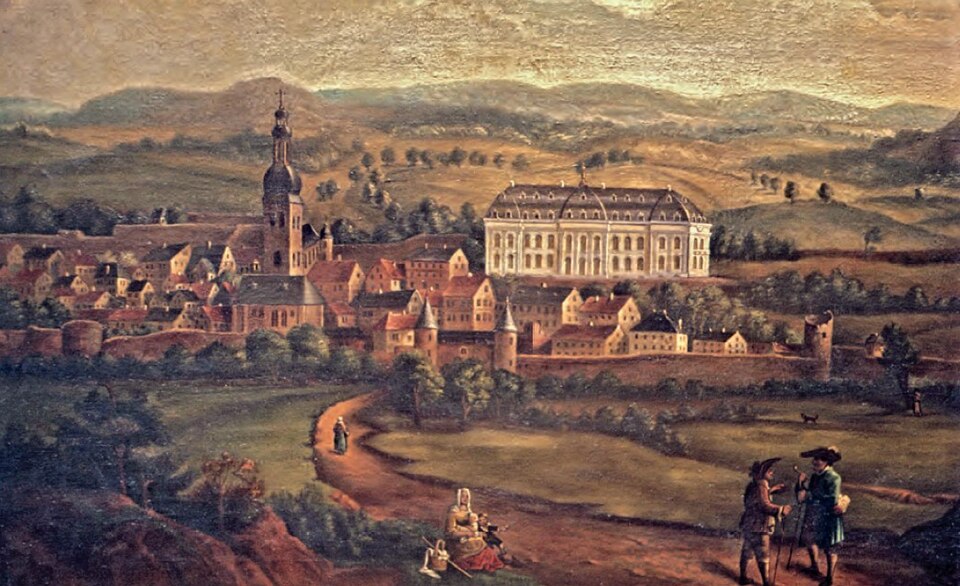
@Heritage Places, Castles & Architecture
03-Feb-2026 05 am
03-Feb-2026 05 am
This article uses text information from the Wikipedia article -- Veste_Coburg -- [Wikipedia-Article-Link: https://en.wikipedia.org/wiki/Veste_Coburg ] which is released under the -- Creative Commons Attribution-ShareAlike 4.0 License – [License-Link: https://en.wikipedia.org/wiki/Wikipedia:Text_of_the_Creative_Commons_Attribution-ShareAlike_4.0_International_License ] [List of Principal Authors (5 or less) of the Wikipedia-Article on the date of this Article being Created in this Website: - Drow69, Bartimaeus blue, Nikantmark, Moonraker, Neptuul] [Use the following Authorship tool to find out the author contributions:- https://xtools.wmcloud.org/authorship ] [The Current Article on this Website has been paraphrased from the above linked corresponding Wikipedia-Article and You may redistribute this, verbatim or modified, provided that you comply with the terms of the Creative Commons Attribution-ShareAlike 4.0 License] [License-Link: https://en.wikipedia.org/wiki/Wikipedia:Text_of_the_Creative_Commons_Attribution-ShareAlike_4.0_International_License ]
This article also uses an image from the Wikipedia article -- Veste_Coburg -- [Wikipedia-Article-Link: https://en.wikipedia.org/wiki/Veste_Coburg ] [Image: Veste Coburg, Ansicht vom Bismarkturm aus (Westansicht); Wikipedia-Image-Author: Presse03 https://commons.wikimedia.org/wiki/User:Presse03 ] [Wikipedia-Image-Link: https://en.wikipedia.org/wiki/File:Veste_Coburg_West.jpg ] [Image Availed Under Creative Commons Attribution-Share Alike 3.0 Unported license] [License-Link: https://creativecommons.org/licenses/by-sa/3.0/deed.en ] [You may copy, distribute and transmit the work (image) or share (alike) the work (image), provided that you comply with the terms of the Creative Commons Attribution-Share Alike 3.0 Unported license or other compatible license in distribution] [License-Link: https://creativecommons.org/licenses/by-sa/3.0/deed.en ] [Please Also Relate to Original Individual Text and Image URLs for More Usage Property and Sharing, Remixing or Attributing the Contents]
[Contents on Wikipedia is covered by -- Disclaimer – Wikipedia-Disclaimer-Link: https://en.wikipedia.org/wiki/Wikipedia:General_disclaimer ] [Contents in this Website is also covered by Disclaimer linked at the bottom of the Page] [This website article means no intellectual appropriation by any way and only wishes to contribute in sharing of knowledge]