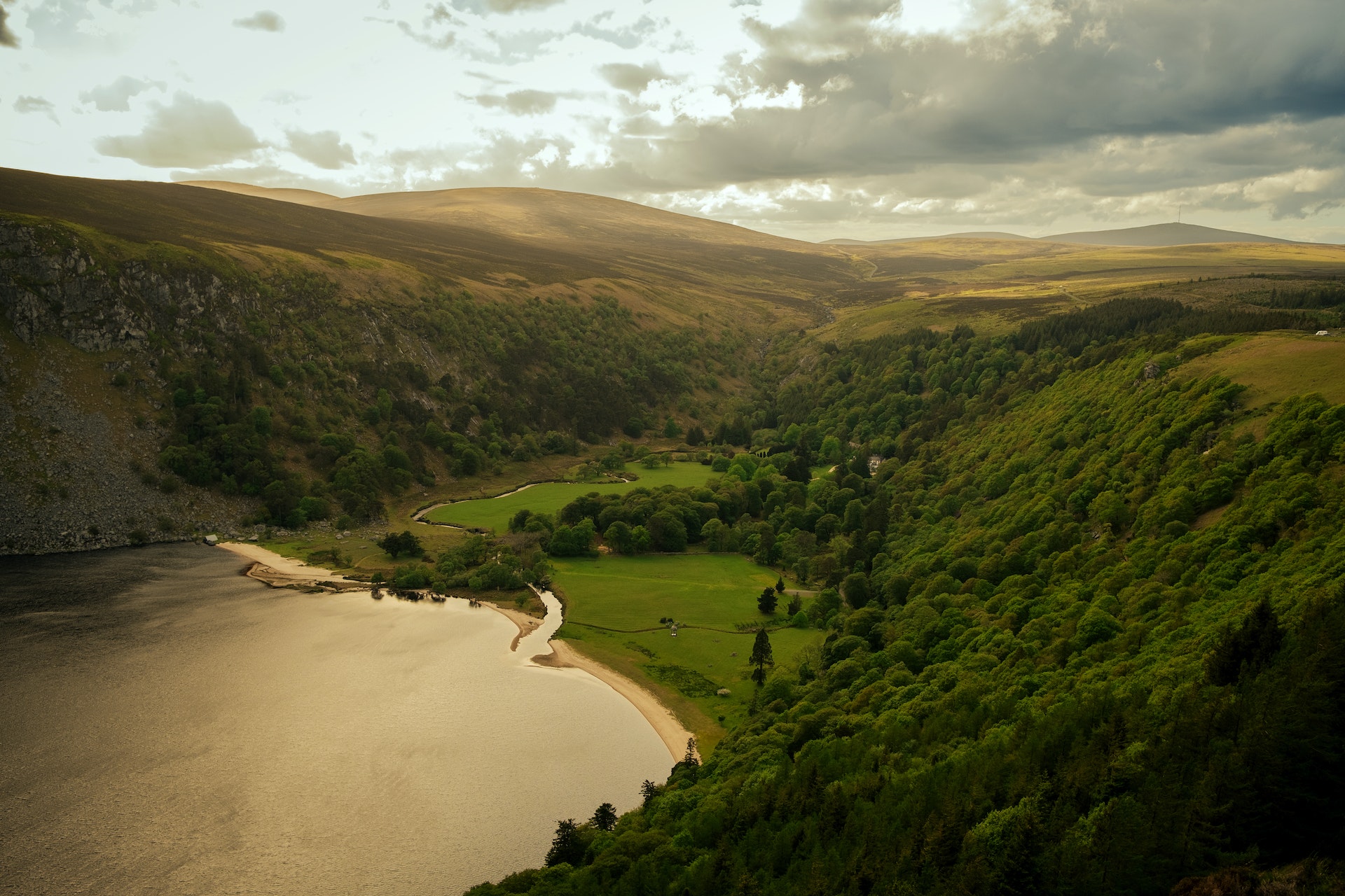
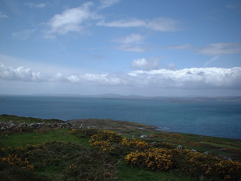
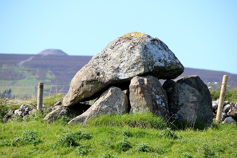
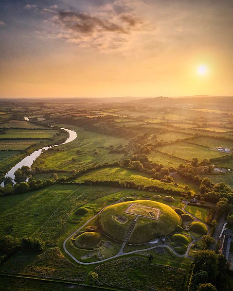
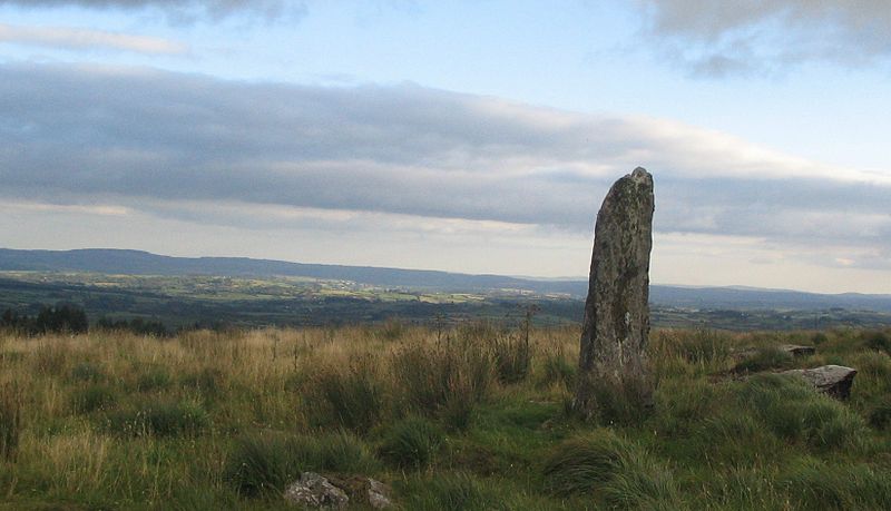
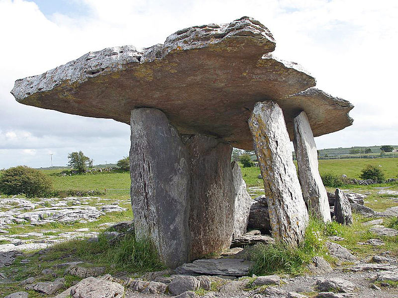
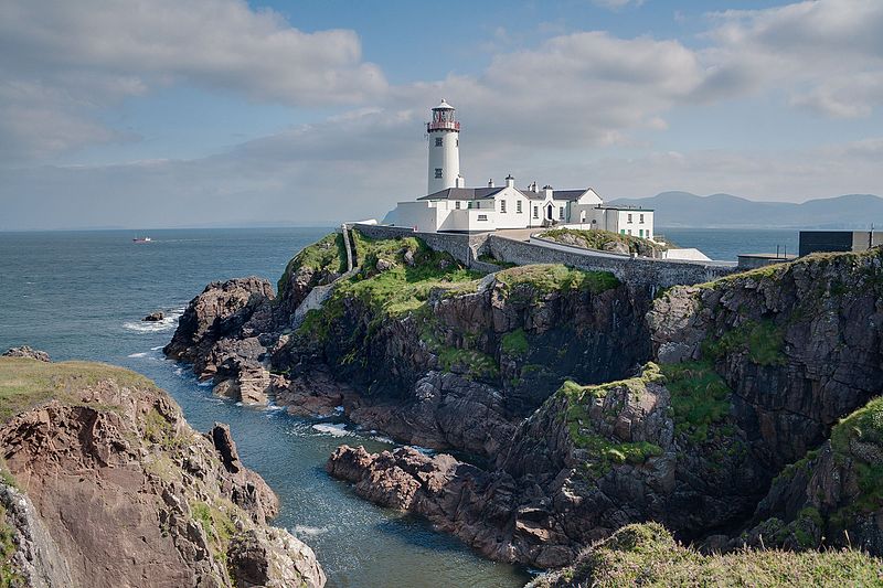
On the northern shore of County Donegal of Ireland, between Mulroy Bay and Lough Swilly, is a peninsula called Fanad. Although it is unknown where the name Fanad came from, it is rumoured to have been derived from the old Gaelic term Fana, which means sloping ground. In earlier documents, it is also known as Fannet or Fannett. In Fanad, there are about 700 residents who speak thirty percent Irish. The parishes of Clondavaddog, Killygarvan and portions of Tullyfern and Aughinish are included in Fanad. It measures roughly twelve kilometer east-west between the townlands of Doaghbeg and Glinsk and about 25 km north-south from Fanad Head to the town of Ramelton. Over the years, there have been some disagreements regarding the southern border of Fanad. When the MacSuibhne family ruled Fanad in the 16th century, it was said that the region of Fanaid reached far as south as the River Lennon between Kilmacrennan and Ramelton. The surveyor John O Donovan identified Rathmullan as the Fanad capital in 1835 and comprised of parishes besides Clondavaddog. It comprises of tiny communities including Tamney, Rossnakill, and Kerrykeel, a neighbouring community. Rock alignments can be seen through the Fanad peninsula from the southwest to the northeast on geological maps of County Donegal. The majority of the underlying rocks in the peninsula are Dalradian meta-sedimentary rocks, which have been revealed over millennia by erosion and weathering processes. From Ballywhoriskey to Fanad Head, the north side of the peninsula has patches of Granodiorite igneous rocks, but the majority of Fanad is made up of Middle-Dalradian Quartzite and some Pellite rocks with isolated localities of Schists and Tillites, the latter of which is mainly found around the northern inlet of Mulroy Bay. The higher ground going south from Fanad Head to Portsalon is a strip of Quartzite, whereas the cliffs surrounding Fanad Head are made of bare Grandiorite. Another quartzite-based mountain is Knockalla Mountain. Geological processes, including those caused by glaciers and ice sheets periodically covering the area as recently as 14,000 years ago, have created the terrain of Fanad. Fanad and the neighbouring surroundings were significantly impacted by the withdrawal of the ice sheet. The occurrence of Megalithic court tombs at a number of localities, such as Tyrladden, Drumhallagh Upper, and Crevary Upper, dating presumably from around 4,000–3,500 BCE, is most likely the oldest indication of human habitation in Fanad. Neolithic doorway tombs, often known as dolmens, can be found, including examples at Gortnavern, south of Kerrykeel, and above Saltpans, on the Lough Swilly side of the peninsula. These are thought to have been around between 3,800 and 2,200 BCE [Information and Image Credit : Fanad, Wikipedia] [Image : Fanad Lighthouse County Donegal Lough Swilly and Mulroy Bay; Wikipedia-Image-Attribution :: Andreas F. Borchert] [Images Availed Under Creative Commons Attribution-Share Alike 4.0 International ; (Please Relate to Individual Image URLs for More Usage Property)] [License-Link : https://creativecommons.org/licenses/by-sa/4.0/ ] [Wikipedia Source Image-Link : https://en.wikipedia.org/wiki/File:Fanad_Head_2015_09_09.jpg ]
 Heritage and Geographical Sites